Wiggins in Stone County, Mississippi — The American South (East South Central)
H.O.M.E. Consolidated School
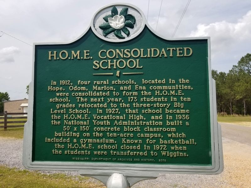
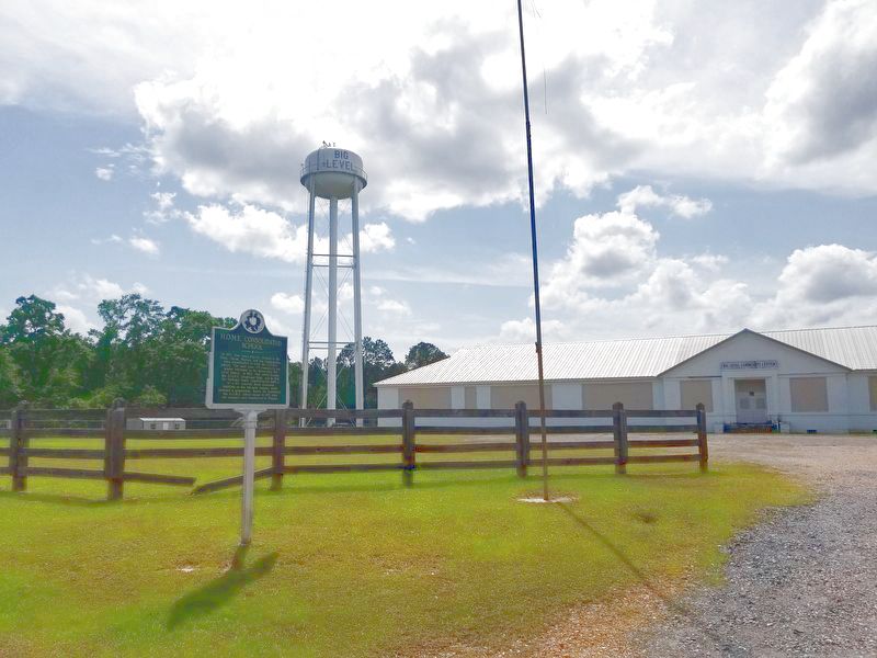
In 1912, four rural schools, located in the Hope, Odom, Marion, and Ena communities, were consolidated to form the H.O.M.E. school. The next year, 173 students in ten grades relocated to the three-story Big Level School. In 1927, that school became the H.O.M.E. Vocational High, and in 1936 the National Youth Administration built a 50' x 150' concrete block classroom building on the ten-acre campus, which included a gymnasium. Known for basketball, the H.O.M.E. school closed in 1972 when the students were transferred to Wiggins.
Erected 2018 by Mississippi Department of Archives and History.
Topics and series. This historical marker is listed in this topic list: Education. In addition, it is included in the Mississippi State Historical Marker Program series list.
Location. 30° 50.055′ N, 89° 2.611′ W. Marker is in Wiggins, Mississippi, in Stone County. Marker is on City Bridge Road, 0.9 miles south of Highway 26, on the right when traveling south. Touch for map. Marker is at or near this postal address: 1345 City Bridge Road, Wiggins MS 39577, United States of America. Touch for directions.
Other nearby markers. At least 8 other markers are within 6 miles of this marker, measured as the crow flies. The Stapp Sisters (approx. 4.1 miles away); Flint Creek Post Office (approx. 5.2 miles away); Professor W.P. Locker (approx. 5.3 miles away); Stone County Courthouse (approx. 5.6 miles away); Stone County War Memorial (approx. 5.7 miles away); Gulf & Ship Island Railroad (approx. 5.9 miles away); City of Wiggins (approx. 5.9 miles away); Gulf and Ship Island Railroad Depot (approx. 5.9 miles away). Touch for a list and map of all markers in Wiggins.
Credits. This page was last revised on May 6, 2022. It was originally submitted on May 6, 2022, by Cajun Scrambler of Assumption, Louisiana. This page has been viewed 121 times since then and 17 times this year. Photos: 1, 2. submitted on May 6, 2022, by Cajun Scrambler of Assumption, Louisiana.

