Near Smyrna in Cobb County, Georgia — The American South (South Atlantic)
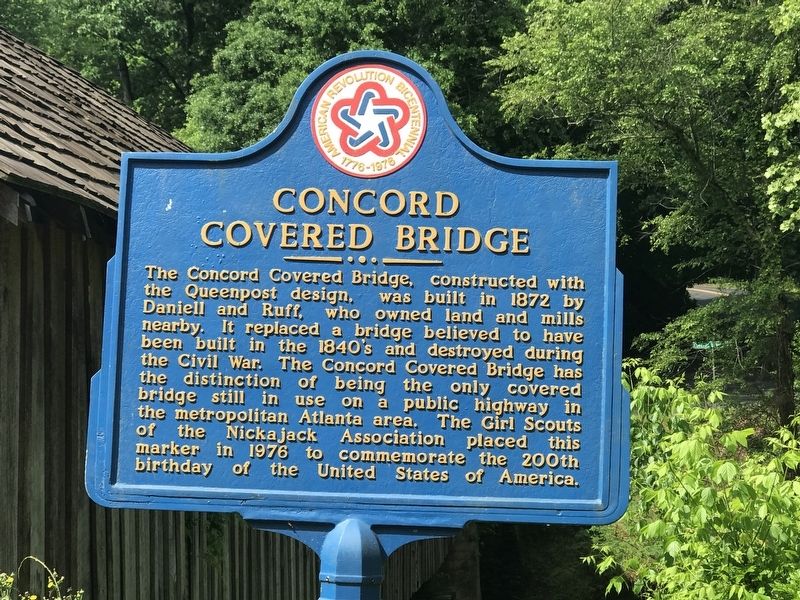
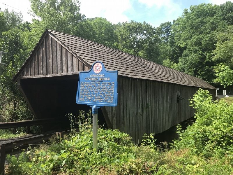
Concord Covered Bridge
Erected 1976 by Girl Scouts of the Nickajack Association.
Topics and series. This historical marker is listed in this topic list: Bridges & Viaducts. In addition, it is included in the Covered Bridges, and the The Spirit of ’76, America’s Bicentennial Celebration series lists. A significant historical year for this entry is 1872.
Location. 33° 50.962′ N, 84° 33.525′ W. Marker is near Smyrna, Georgia, in Cobb County. Marker is on Concord Road Southwest, ¼ mile east of East-West Connector, on the right when traveling west. Touch for map. Marker is at or near this postal address: 254 Concord Rd SW, Smyrna GA 30082, United States of America. Touch for directions.
Other nearby markers. At least 8 other markers are within 2 miles of this marker, measured as the crow flies. Battle of Ruff's Mill (a few steps from this marker); The March to Soap Creek (approx. 1.2 miles away); The Extended Right (approx. 1.2 miles away); Site: Wm. Moss House (approx. 1.3 miles away); “The Only Advantage of the Day” (approx. 1.4 miles away); Hood's Corps at Battle of Ruff's Mill (approx. 1.6 miles away); Sweet Potato House (approx. 1.8 miles away); Cemetery (approx. 1.8 miles away). Touch for a list and map of all markers in Smyrna.
Also see . . . Concord Covered Bridge Historic District. The Concord Covered Bridge Historic District was created by Cobb County in 1986, the county’s first historic district. The focal point of the district is the Concord Covered Bridge. There are many additional historic structures dating back to the mid-1800s when milling communities developed along the Nickajack Creek. (Submitted on May 10, 2022, by Duane and Tracy Marsteller of Murfreesboro, Tennessee.)
Credits. This page was last revised on May 10, 2022. It was originally submitted on May 10, 2022, by Duane and Tracy Marsteller of Murfreesboro, Tennessee. This page has been viewed 180 times since then and 39 times this year. Photos: 1, 2. submitted on May 10, 2022, by Duane and Tracy Marsteller of Murfreesboro, Tennessee.

