Urbana in Champaign County, Ohio — The American Midwest (Great Lakes)
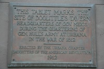
This tablet mark's the Site of Doolittle's Tavern
Inscription.
This tablet mark's the Site of Doolittle's Tavern, Headquarters of Gov. Meigs during the quartering of Gen. Hull's Army at Urbana in the War of 1812.
Erected 1912 by The Urbana Chapter, Daughters of the American Revolution.
Topics and series. This historical marker is listed in this topic list: War of 1812. In addition, it is included in the Daughters of the American Revolution series list. A significant historical year for this entry is 1812.
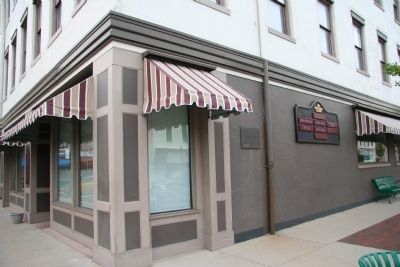
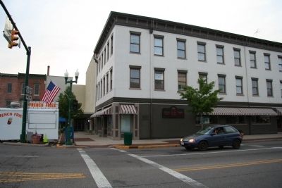
Location. 40° 6.503′ N, 83° 45.164′ W. Marker is in Urbana, Ohio, in Champaign County. Marker is at the intersection of North Main Street (U.S. 68) and Miami Street (U.S. 36), on the right when traveling south on North Main Street. This historical marker is a plaque, affixed at slightly above eye level, on the east side of a commercial building, situated on the northwest corner of the junction of US 68 (runs north to south) and US 36 (runs east to west). Touch for map. Marker is in this post office area: Urbana OH 43078, United States of America. Touch for directions.
Other nearby markers. At least 8 other markers are within walking distance of this marker. Champaign County Civil War Memorial (within shouting distance of this marker); Simon Kenton (about 300 feet away, measured in a direct line); Champaign County Veterans Memorial (about 300 feet away); Champaign County World War I Memorial (about 400 feet away); The Adam Mosgrove House (about 400 feet away); The Samuel McCord House (about 400 feet away); Dayton, Springfield, and Urbana Electric Railway (about 500 feet away); Harmony Lodge No. 8 Free and Accepted Masons (about 600 feet away). Touch for a list and map of all markers in Urbana.
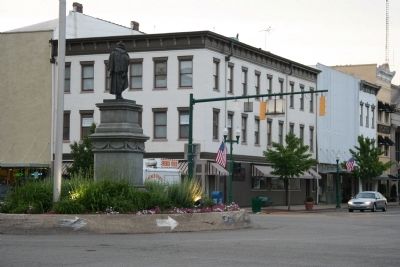
More about this marker. In the center of downtown Urbana, the intersection of US 68 (runs north to south) and US 36 (runs east to west) features a traffic circle around a centrally located statue. This historical marker is located on the eastern most building in the northwest corner of the intersection.
Related markers. Click here for a list of markers that are related to this marker. To better understand the relationship, study each marker in the order shown.
Also see . . . Hull's Road. This is a link to information provided by Ohio History Central, an online encyclopedia of Ohio History. (Submitted on August 13, 2010, by Dale K. Benington of Toledo, Ohio.)
Credits. This page was last revised on June 16, 2016. It was originally submitted on June 9, 2009, by Dale K. Benington of Toledo, Ohio. This page has been viewed 1,849 times since then and 36 times this year. Photos: 1, 2, 3, 4. submitted on June 9, 2009, by Dale K. Benington of Toledo, Ohio. • Craig Swain was the editor who published this page.


