Fair Play in Oconee County, South Carolina — The American South (South Atlantic)
Beaverdam Baptist Church
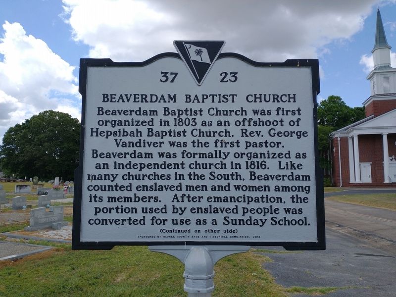
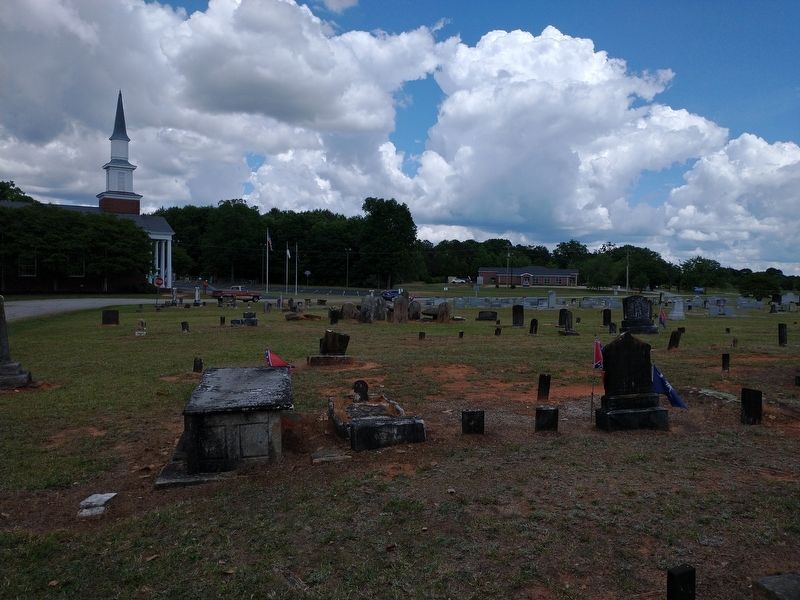
Beaverdam Baptist Church was first organized in 1803 as an offshoot of Hepsibah Baptist Church. Rev. George Vandiver was the first pastor. Beaverdam was formally organized as an independent church in 1816. Like many churches in the South, Beaverdam counted enslaved men and women among its members. After emancipation, the portion used by enslaved people was converted for use as a Sunday School.
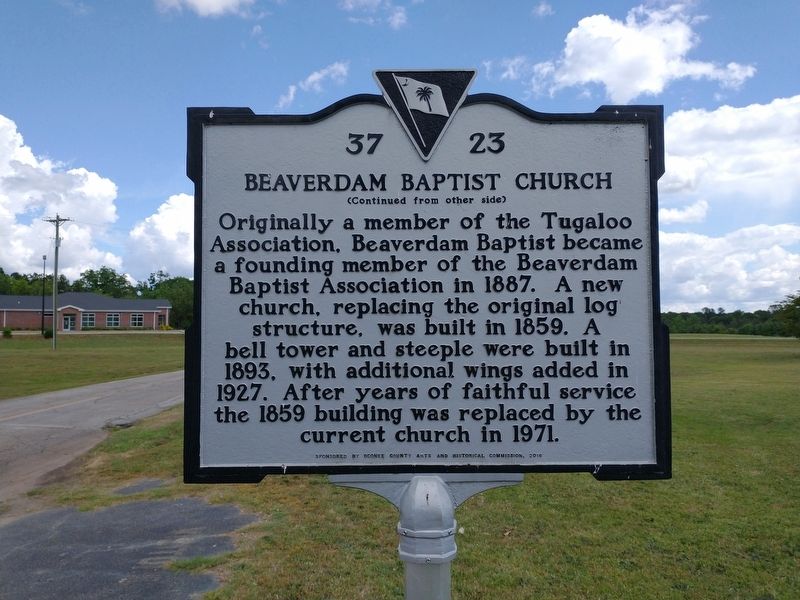
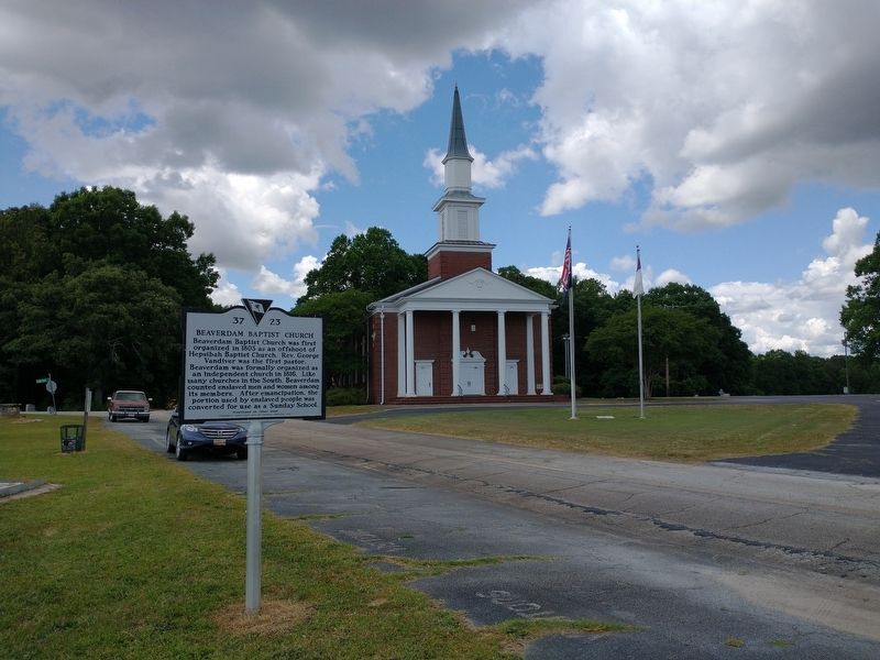
Originally a member of the Tugaloo Association, Beaverdam Baptist became a founding member of the Beaverdam Baptist Association in 1887. A new church, replacing the original log structure, was built in 1859. A bell tower and steeple were built in 1893, with additional wings added in 1927. After years of faithful service the 1859 building was replaced by the current church in 1971.
Erected 2016 by Oconee County Arts and Historical Commission. (Marker Number 37-23.)
Topics. This historical marker is listed in this topic list: Churches & Religion. A significant historical year for this entry is 1803.
Location. 34° 30.725′ N, 82° 58.709′ W. Marker is in Fair Play, South Carolina, in Oconee County. Marker is on Beaverdam Church Road, 0.1 miles north of Fairplay Boulevard (State Highway 243), on the left when traveling north. Touch for map. Marker is at or near this postal address: 328 Beaverdam Church Rd, Fair Play SC 29643, United States of America. Touch for directions.
Other nearby markers. At least 8 other markers are within 9 miles of this marker, measured as the crow flies. Vandiver Bridge (approx. 3.4 miles away); Nazareth on the Beaverdam Presbyterian Church / Townville Presbyterian Church (approx. 3.4 miles away); Capt. Samuel Earle (approx. 3.8 miles away); Townville Presbyterian Church (approx. 5.6 miles away); Shoal Creek (approx. 5.9 miles away in Georgia); Center Methodist Church (approx. 6.2 miles away); Poplar Springs Baptist Church (approx. 7.6 miles away in Georgia); Portman Shoals (approx. 8.9 miles away).
Also see . . . Beaverdam Baptist Church. (Submitted on May 20, 2022.)
Credits. This page was last revised on November 13, 2022. It was originally submitted on May 19, 2022, by Tom Bosse of Jefferson City, Tennessee. This page has been viewed 230 times since then and 34 times this year. Photos: 1, 2, 3, 4, 5, 6. submitted on May 19, 2022, by Tom Bosse of Jefferson City, Tennessee. • Bernard Fisher was the editor who published this page.
