Taylors in Greenville County, South Carolina — The American South (South Atlantic)
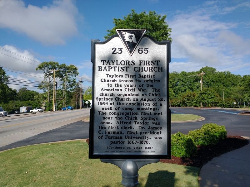
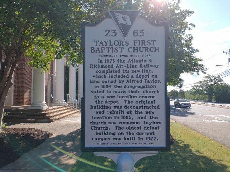
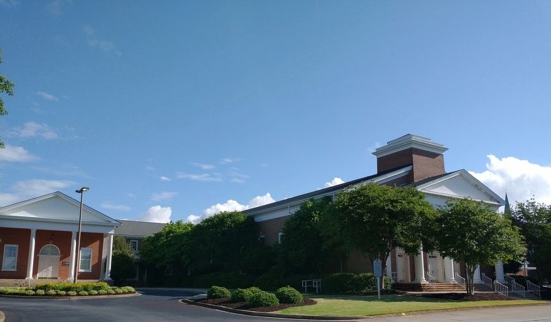
Taylors First Baptist Church
(front)
Taylors First Baptist Church traces its origins to the years of the American Civil War. The church organized as Chick Springs Church on August 28, 1864 at the conclusion of a week of camp meetings. The congregation first met near the Chick Springs area. Alfred Taylor was the first clerk. Dr. James C. Furman, first president of Furman University, was pastor 1867-1870.
Erected 2014 by Taylors First Baptist Church. (Marker Number 23-65.)
Topics. This historical marker is listed in these topic lists: Churches & Religion • Railroads & Streetcars. A significant historical date for this entry is August 28, 1864.
Location. 34° 55.18′ N, 82° 18.186′ W. Marker is in Taylors, South Carolina, in Greenville County. Marker is on West Main Street west of Taylors Road, on the right when traveling west. Touch for map. Marker is at or near this postal address: 200 West Main Street, Taylors SC 29687, United States of America. Touch for directions.
Other nearby markers. At least 8 other markers are within 4 miles of this marker, measured as the crow flies. Southern Bleachery Mill Village / Mill Superintendent House (approx. 0.6 miles away); Rev. James R. Rosemond (approx. 2.1 miles away); Suber's Mill (approx. 2.4 miles away); Methodist Men Memorial (approx. 2.4 miles away); Camp Sevier (approx. 2.4 miles away); Mike Garfield (approx. 3.6 miles away); The Dam for Reservoir 2 (approx. 3.6 miles away); Early White Settlement / The Massacre of Jacob Hite (approx. 3.6 miles away). Touch for a list and map of all markers in Taylors.
Also see . . . Our History. Church website entry (Submitted on May 21, 2022, by Tom Bosse of Jefferson City, Tennessee.)
Credits. This page was last revised on October 19, 2022. It was originally submitted on May 21, 2022, by Tom Bosse of Jefferson City, Tennessee. This page has been viewed 162 times since then and 24 times this year. Photos: 1, 2, 3. submitted on May 21, 2022, by Tom Bosse of Jefferson City, Tennessee. • Bernard Fisher was the editor who published this page.


