
Greenville in Greenville County, South Carolina — The American South (South Atlantic)
Buncombe Street Methodist Church
Photographed by Tom Bosse, May 14, 2022
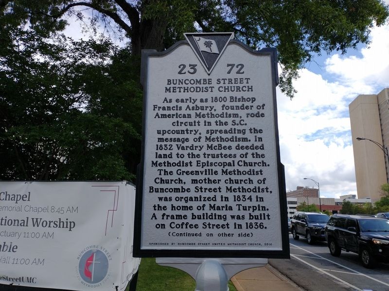
1. Buncombe Street Methodist Church Marker (Front)
(front)
As early as 1800 Bishop Francis Asbury, founder of American Methodism, rode circuit in the S.C. upcountry, spreading the message of Methodism. In 1832 Vardry McBee deeded land to the trustees of the Methodist Episcopal Church. The Greenville Methodist Church, mother church of Buncombe Street Methodist, was organized in 1834 in the home of Maria Turpin. A frame building was built on Coffee Street in 1836.
Erected 2016 by Buncombe Street Methodist Church. (Marker Number 23-72.)
Topics. This historical marker is listed in these topic lists: Architecture • Religion & Religious Structures. A significant historical year for this entry is 1800.
Location. 34° 51.191′ N, 82° 24′ W.
this page online

Regionally, this marker is in Upstate. It is also in the American South, specifically in the Deep South, in Appalachia, and specifically in Southern Appalachia. Globally, it is in North America, the Western Hemisphere, the Western World, and the Anglosphere. Historically, it finds itself in what was once the original Cherokee Nation, the territory of the Mississippian Culture, one of the original Thirteen Colonies, one of the Confederate States of America, and the Antebellum South.
Other nearby markers. At least 8 other markers are within walking distance of this marker: The Buncombe Road (within shouting distance of this marker); McKay Memorial Chapel (part of First Presbyterian Church) (about 600 feet away, measured in a direct line); Max Heller Legacy Plaza (about 700 feet away); Sterling High School Memorial
Photographed by Tom Bosse, May 14, 2022
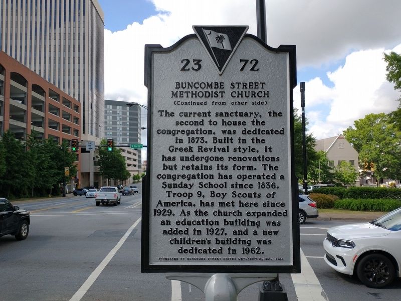
2. Buncombe Street Methodist Church Marker (Back)
Also see . . . Buncombe Street Methodist Church History. (Submitted on May 21, 2022, by Tom Bosse of Jefferson City, Tennessee.)
Photographed by Tom Bosse, May 14, 2022
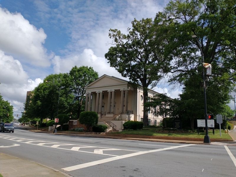
3. Buncombe Street Methodist Church Marker
Photographed by Tom Bosse, May 14, 2022
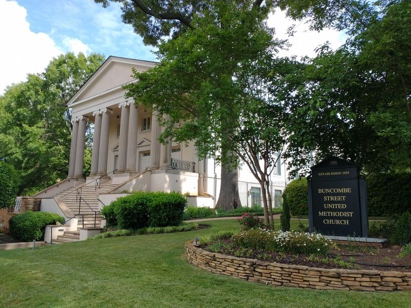
4. Buncombe Street Methodist Church
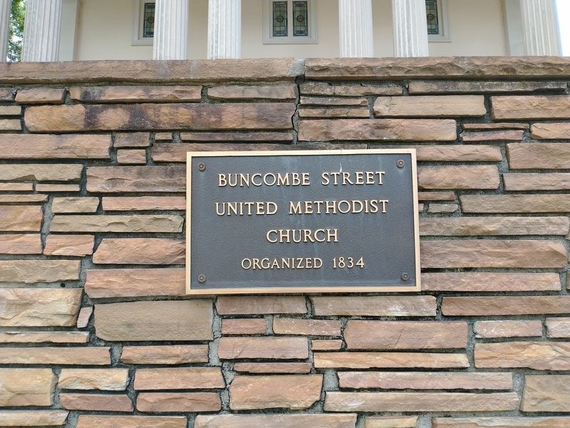
Photographed by Tom Bosse, May 14, 2022
5. Buncombe Street Methodist Church
Credits. This page was last revised on May 24, 2022. It was originally submitted on May 21, 2022, by Tom Bosse of Jefferson City, Tennessee. This page has been viewed 660 times since then and 37 times this year. Photos: 1, 2, 3, 4, 5. submitted on May 21, 2022, by Tom Bosse of Jefferson City, Tennessee. • Bernard Fisher was the editor who published this page.
