Saint Marys in Perth County, Ontario — Central Canada (North America)
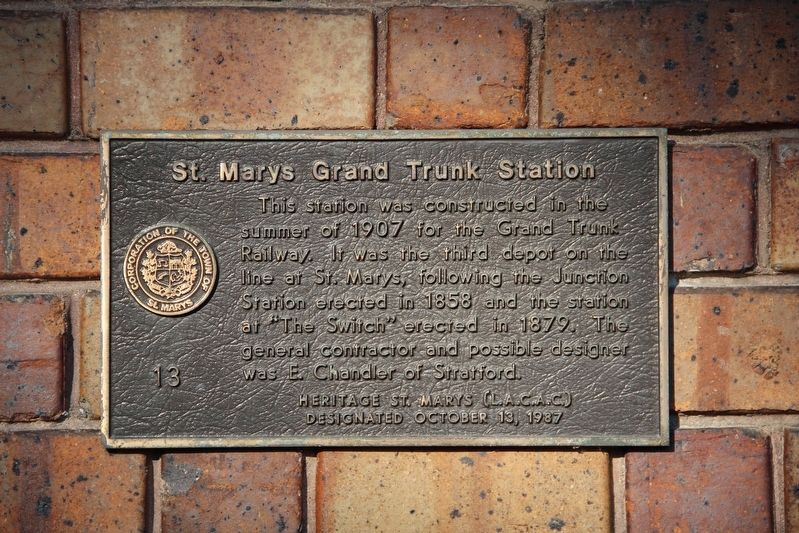
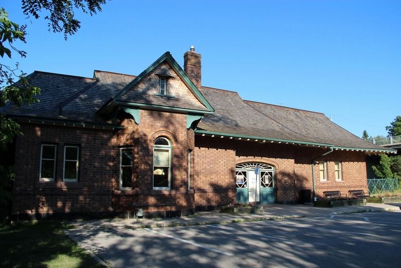
St. Marys Grand Trunk Station
Designated October 13, 1987
Erected by Heritage St. Marys (Local Architectural Conservation Advisory Committee).
Topics. This historical marker is listed in this topic list: Railroads & Streetcars. A significant historical year for this entry is 1907.
Location. 43° 15.625′ N, 81° 8.197′ W. Marker is in Saint Marys, Ontario, in Perth County. Marker is on James Street North just north of Queen Street East (Provincial Highway 9), on the right when traveling north. Touch for map. Marker is at or near this postal address: 5 James St N, Saint Marys ON N4X N4X, Canada. Touch for directions.
Other nearby markers. At least 8 other markers are within 18 kilometers of this marker, measured as the crow flies. St. Marys Water Tower (within shouting distance of this marker); Town Hall (approx. 0.3 kilometers away); St. Marys Public Library (approx. 0.3 kilometers away); The Church Street Bridge (approx. 0.4 kilometers away); Grand Trunk Trail – St. Marys (approx. 1.1 kilometers away); Grand Trunk Railway St. Mary's Junction (approx. 1.3 kilometers away); City Hall (approx. 17.5 kilometers away); Stratford City Hall / L’hôtel de Ville de Stratford (approx. 17.5 kilometers away). Touch for a list and map of all markers in Saint Marys.
Credits. This page was last revised on May 21, 2022. It was originally submitted on May 21, 2022, by Duane and Tracy Marsteller of Murfreesboro, Tennessee. This page has been viewed 59 times since then and 4 times this year. Photos: 1, 2. submitted on May 21, 2022, by Duane and Tracy Marsteller of Murfreesboro, Tennessee.

