Greenville in Greenville County, South Carolina — The American South (South Atlantic)
Poinsett Mill
Photographed by Tom Bosse, May 14, 2022
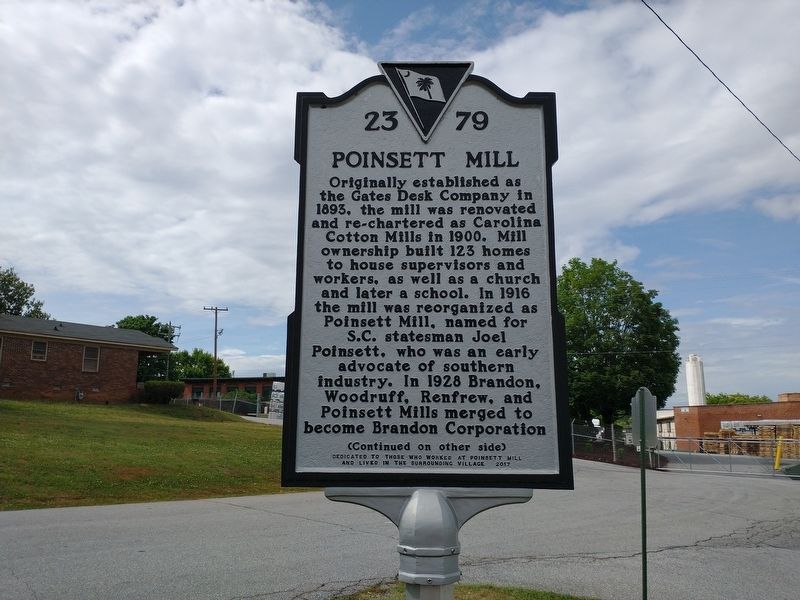
1. Poinsett Mill Marker (Front)
(front)
Originally established as the Gates Desk Company in 1893, the mill was renovated and re-chartered as Carolina Cotton Mills in 1900. Mill ownership built 123 homes to house supervisors and workers, as well as a church and later a school. In 1916 the mill was reorganized as Poinsett Mill, named for S.C. statesman Joel Poinsett, who was an early advocate of southern industry. In 1928 Brandon, Woodruff, Renfrew, and Poinsett Mills merged to become Brandon Corporation
Erected 2017 by Reynolds Company and the Poinsett Historic Society. (Marker Number 23-79.)
Topics. This historical
this page online
Location. 34° 51.053′ N, 82° 25.079′ W. Marker is in Greenville, South Carolina, in Greenville County. It is at the intersection of Gates Street and Birnie Street, on the right when traveling north on Gates Street. Touch for map. Marker is at or near this postal address: 10 Gates Street, Greenville SC 29611, United States of America. Touch for directions.

Regionally, this marker is in Upstate. It is also in the American South, specifically in the Deep South, in Appalachia, and specifically in Southern Appalachia. Globally, it is in North America, the Western Hemisphere, the Western World, and the Anglosphere. Historically, it finds itself in what was once the original Cherokee Nation, the territory of the Mississippian Culture, one of the original Thirteen Colonies, one of the Confederate States of America, and the Antebellum South.
Other nearby markers. At least 8 other markers are within walking distance of this marker: Sterling High School (approx. half a mile away); Woodside Mill (approx. 0.7 miles away); John Street School
Photographed by Tom Bosse, May 14, 2022
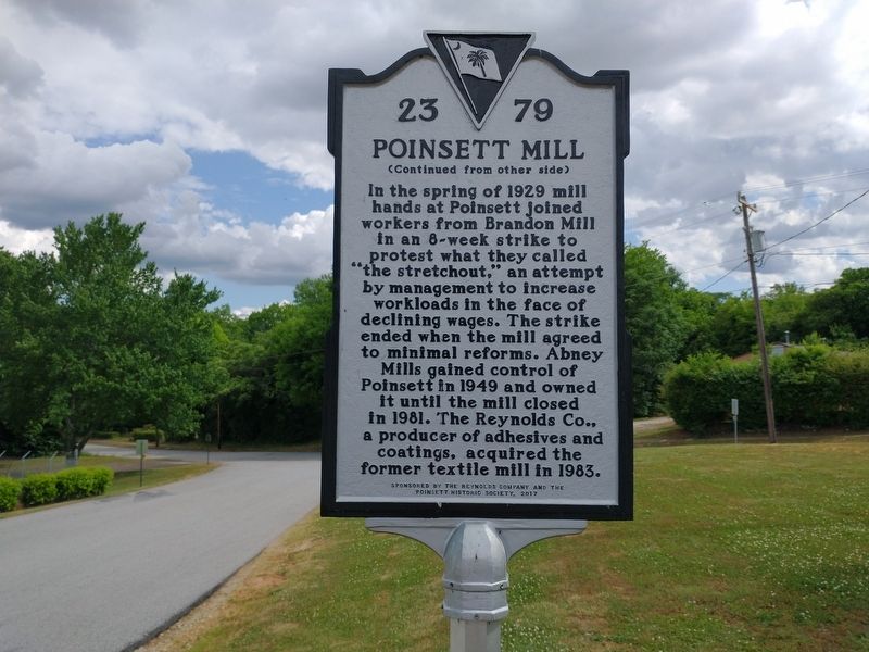
2. Poinsett Mill Marker (Back)
Photographed by Tom Bosse, May 14, 2022
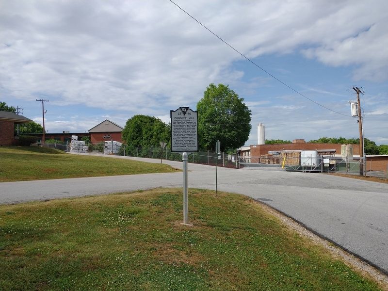
3. Poinsett Mill Marker
Photographed by Tom Bosse, May 14, 2022
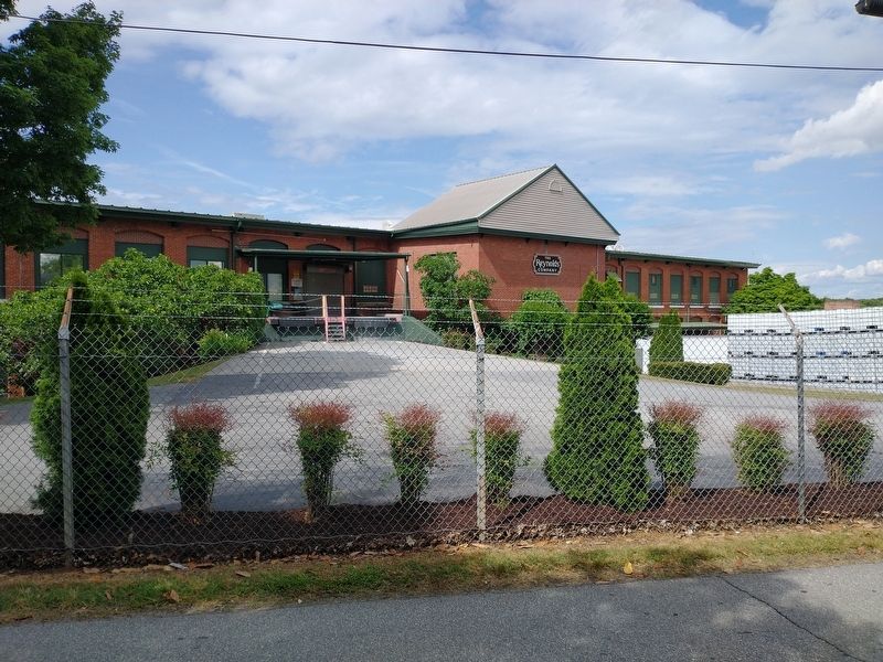
4. Poinsett Mill
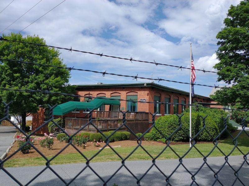
Photographed by Tom Bosse, May 14, 2022
5. Poinsett Mill
Credits. This page was last revised on May 27, 2022. It was originally submitted on May 26, 2022, by Tom Bosse of Jefferson City, Tennessee. This page has been viewed 1,345 times since then and 88 times this year. Photos: 1, 2, 3, 4, 5. submitted on May 26, 2022, by Tom Bosse of Jefferson City, Tennessee. • Bernard Fisher was the editor who published this page.
