Near Woolwine in Patrick County, Virginia — The American South (Mid-Atlantic)
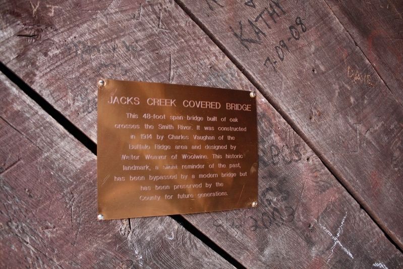
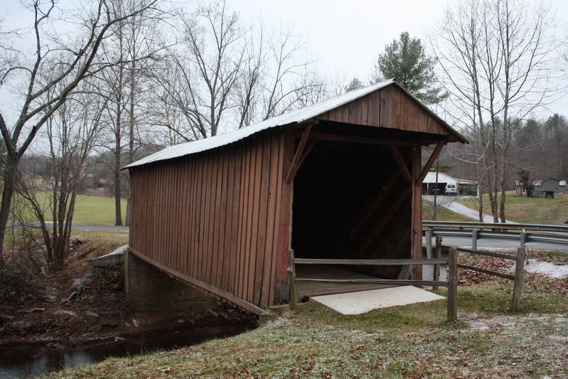
Jacks Creek Covered Bridge

cmh2315fl via Flickr (CC BY-NC 2.0), December 6, 2008
1. Jacks Creek Covered Bridge Marker
National Register of Historic Places Nomination Form
Click for more information.
Click for more information.
Topics and series. This historical marker is listed in this topic list: Bridges & Viaducts. In addition, it is included in the Covered Bridges series list. A significant historical year for this entry is 1914.
Location. 36° 45.862′ N, 80° 16.415′ W. Marker is near Woolwine, Virginia, in Patrick County. Marker can be reached from Jacks Creek Road (State Road 615) 0.1 miles west of Woolwine Highway (State Road 8), on the right when traveling west. Marker is on north end of the bridge. Touch for map. Marker is at or near this postal address: 1275 Jacks Creek Rd, Woolwine VA 24185, United States of America. Touch for directions.
Other nearby markers. At least 8 other markers are within 8 miles of this marker, measured as the crow flies. Blue Ridge Mission School (approx. 2.3 miles away); Rock Castle Gorge (approx. 5.2 miles away); America's Rural Landscape (approx. 5.3 miles away); Buffalo Mountain (approx. 5˝ miles away); Rakes Mill Pond (approx. 7.1 miles away); You Buy 'Em, We'll Fly 'Em! (approx. 7.3 miles away); Rural Life In Appalachia (approx. 7.4 miles away); Mabry Mill (approx. 7.4 miles away). Touch for a list and map of all markers in Woolwine.
Also see . . . Jack's Creek Covered Bridge. Wikipedia entry (Submitted on May 28, 2022, by Duane and Tracy Marsteller of Murfreesboro, Tennessee.)
Credits. This page was last revised on May 29, 2022. It was originally submitted on May 28, 2022, by Duane and Tracy Marsteller of Murfreesboro, Tennessee. This page has been viewed 113 times since then and 29 times this year. Photos: 1, 2. submitted on May 28, 2022, by Duane and Tracy Marsteller of Murfreesboro, Tennessee.
Editor’s want-list for this marker. Wide shot of marker and surrounding area in context. • Can you help?
