Hopewell Hill in Albert County, New Brunswick — The Atlantic Provinces (North America)
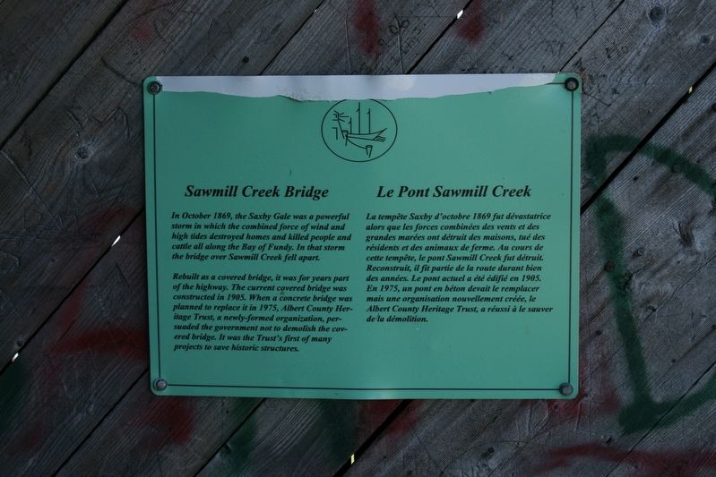
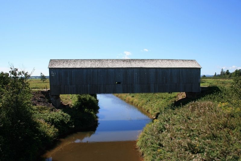
Sawmill Creek Bridge/Le Pont Sawmill Creek

cmh2315fl via Flickr (CC BY-NC 2.0), August 27, 2007
1. Sawmill Creek Bridge/Le Pont Sawmill Creek Marker
Rebuilt as a covered bridge, it was for years part of the highway. The current covered bridge was constructed in 1905. When a concrete bridge was planned to replace it in 1975, Albert County Heritage Trust, a newly-formed organization, persuaded the government not to demolish the covered bridge. It was the Trust's first of many projects to save historic structures.
[Francais] La tempête Saxby d'octobre 1869 fut dévastatrice alors que les forces combinées des vents et des grandes marées ont détruit des maisons, tué des résidents et des animaux de ferme. Au cours de cette tempête, le pont Sawmill Creek fut détruit. Reconstruit, il fit partie de la route durant bien des années. Le pont actuel a été édifié en 1905. En 1975, un pont en béton devait le remplacer mais une organisation nouvellement créée, le Albert County Heritage Trust, a réussi à le sauver de la démolition.
Topics and series. This historical marker is listed in these topic lists: Bridges & Viaducts • Disasters. In addition, it is included in the Covered Bridges series list. A significant historical year for this entry is 1905.
Location. 45° 45.881′ N, 64° 41.536′ W. Marker is in Hopewell Hill, New Brunswick, in Albert County. Marker can be reached from Main Street (Provincial Road 114) east of Dobson Road, on the right when traveling east. Touch for map. Marker is at or near this postal address: 5431 Main St, Hopewell Hill NB E4H E4H, Canada. Touch for directions.
Other nearby markers. At least 8 other markers are within 13 kilometers of this marker, measured as the crow flies. Abner Reid McClelan (approx. 2.9 kilometers away); War Memorial (approx. 2.9 kilometers away); Early Irish Families to Albert County (approx. 2.9 kilometers away); the Flowerpots / les pots de Fleurs (approx. 11.2 kilometers away); the ebb and flow of Fundy / flux et reflux des eaux de Fundy (approx. 11.2 kilometers away); Albert County Court House (approx. 12.9 kilometers away); County Gaol / La prison du comté (approx. 12.9 kilometers away); Albert County Museum / Musée du comté d'Albert (approx. 12.9 kilometers away).
Credits. This page was last revised on May 28, 2022. It was originally submitted on May 28, 2022, by Duane and Tracy Marsteller of Murfreesboro, Tennessee. This page has been viewed 142 times since then and 20 times this year. Photos: 1, 2. submitted on May 28, 2022, by Duane and Tracy Marsteller of Murfreesboro, Tennessee.
Editor’s want-list for this marker. Wide shot of marker and surrounding area in context. • Can you help?
