Bellevue in Davidson County, Tennessee — The American South (East South Central)
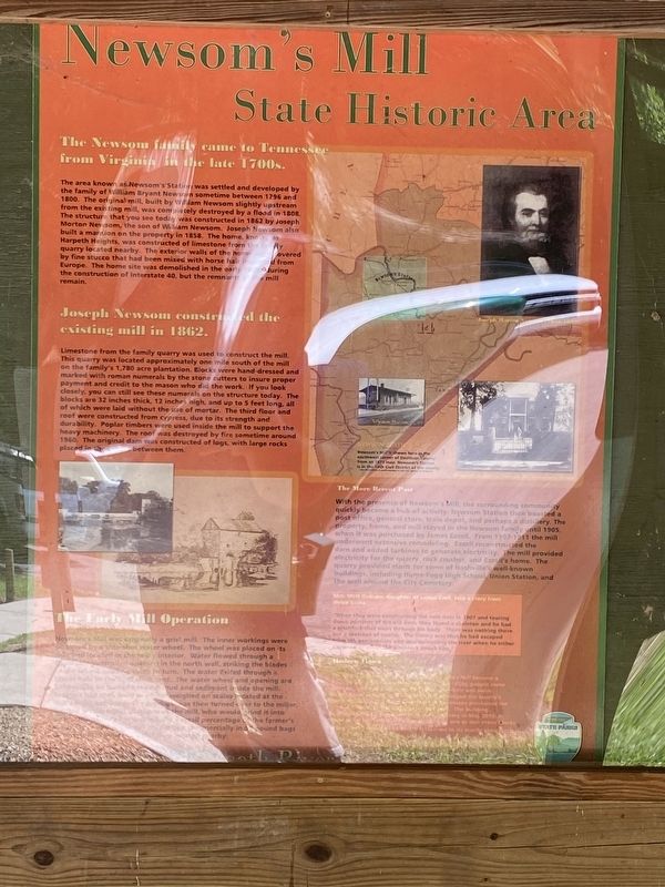
Newsom’s Mill State Historic Area
The Newsom family came to Tennessee from Virginia in the late 1700s.
The area known as Newsom's Station was settled and developed by the family of William Bryant Newson sometime between 1796 and 1800. The original mill, built by William Newsom slightly upstream from the existing mill, was completely destroyed by a flood in 1808. The structure that you see today was constructed in 1862 by Joseph Morton Newsom, the son of William Newsom. Joseph Newsom also built a mansion on the property in 1858. The home, known as Harpeth Heights, was constructed of limestone from the family quarry located nearby. The exterior walls of the home were covered by fine stucco that had been mixed with horse hair imported from Europe. The home site was demolished in the early 1960s during the construction of Interstate 40, but the remnants of the mill remain.
Joseph Newsom constructed the existing mill in 1862.
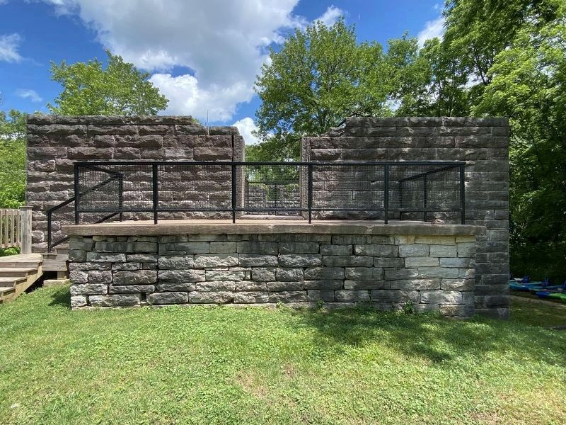
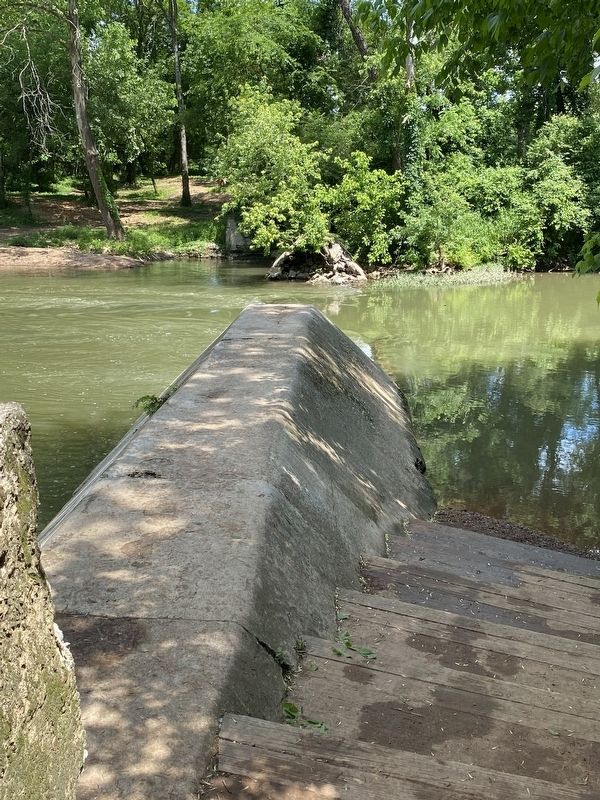
Limestone from the family quarry was used to construct the mill. This quarry was located approximately one mile south of the mill on the family's 1,780 acre plantation. Blocks were hand-dressed and marked with roman numerals by the stone cutters to insure proper payment and credit to the mason who did the work. If you look closely, you can still see these numerals on the structure today. The blocks are 32 inches thick, 12 inches high, and up to 5 feet long, all of which were laid without the use of mortar. The third floor and roof were constructed from cypress, due to its strength and durability. Poplar timbers were used inside the mill to support the heavy machinery. The roof was destroyed by fire sometime around 1960. The original dam was constructed of logs, with large rocks placed in the space between them.
Early Mill Operation
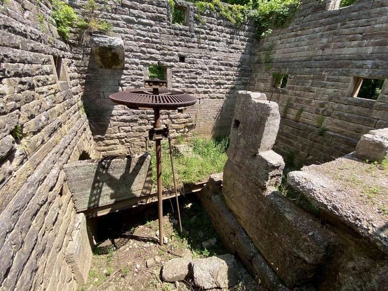
Newson's Mill was originally a grist mill. The inner workings were powered by a side shot water wheel. The wheel was placed on its side and located in the mill's interior. Water flowed through a controlled opening in the north wall, striking the blades causing them to turn. The water exited through a round hole in the damn abutment. The water wheel and opening are believed to be buried beneath mud and sediment inside the mill. Farmers had their corn or wheat weighed on scales located at the mill’s front entrance. The produce was then turned over to the miller, located on the lower platform of the mill, who would grind it into flour. The miller’s fee was usually a small percentage of the farmer's grain. He would either sell his portion commercially in 50 pound bags or turn it into liquor at the distillery located nearby.
The More Recent Past
With the presence of Newsom's Mill, the surrounding community quickly became a hub of activity. Newsom Station then boasted a post office, general store, train depot, and perhaps a distillery. The property, home, and mill stayed in the Newsom family until 1905, when it was purchased by James Ezzell. From 1907-1911 the mill underwent extensive remodeling. Ezzell reconstructed the dam and added turbines to generate electricity. The mill provided electricity for the quarry, rock crusher, and Ezzell's home. The quarry provided stone for some of Nashville's well-known buildings, including Hume-Fogg High School, Union Station, and the wall around the City Cemetery.
Mrs Matt Dobson, daughter of James Ezzell, told a story from those times:
“When they were constructing the new dam in 1907 and tearing down portions of the old dam, they found a skeleton and he had a pitchfork that went through his body. There was nothing there but a skeleton of course. The theory was that he had escaped from the penitentiary and was swimming the river when he either drowned or the pitchfork struck him."
Modern Times
Due to its proximity to the railroad, Newsom’s Mill became a popular place for recreation. As late as the 1920s, people came from Nashville and other nearby town to picnic and swim. James Ezzell retired in 1928 when a fire destroyed the quarry’s buildings and equipment. The State of Tennessee purchased the land in 1974 to create the present-day park. The building withstood the largest flood in recorded history in May 2010. In spite of being completely submerged, only one or two stone blocks were moved during the flood; a testament to its sturdy construction.
Topics. This historical marker is listed in this topic list: Industry & Commerce.
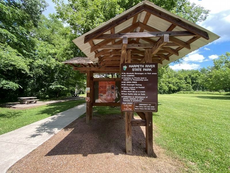
Location. 36° 4.779′ N, 86° 59.77′ W. Marker is in Bellevue, Tennessee, in Davidson County. Marker can be reached from Newsom Station Road. Located in Harpeth River State Park. Touch for map. Marker is at or near this postal address: 8729 Newsom Station Rd, Nashville TN 37221, United States of America. Touch for directions.
Other nearby markers. At least 8 other markers are within 4 miles of this marker, measured as the crow flies. Newsom's Mill (approx. one mile away); Marine War Memorial (approx. 1.9 miles away); Old DeMoss Cemetery (approx. 2½ miles away); DeMoss and the First Belle Vue (approx. 2.6 miles away); Old Harding Pike (approx. 3.2 miles away); Smith Farmhouse (approx. 3.2 miles away); Historic Bellevue (approx. 3.3 miles away); Loveless Cafe and Motel (approx. 3.3 miles away).
Credits. This page was last revised on April 12, 2024. It was originally submitted on May 30, 2022, by Darren Jefferson Clay of Duluth, Georgia. This page has been viewed 1,225 times since then and 271 times this year. Photos: 1, 2, 3, 4, 5. submitted on May 30, 2022, by Darren Jefferson Clay of Duluth, Georgia. • Mark Hilton was the editor who published this page.
Editor’s want-list for this marker. Clearer photo of marker. • Can you help?
