Timmins in Cochrane District, Ontario — Central Canada (North America)
Gold Mining in Canada / Production de l'or au Canada
Inscription.
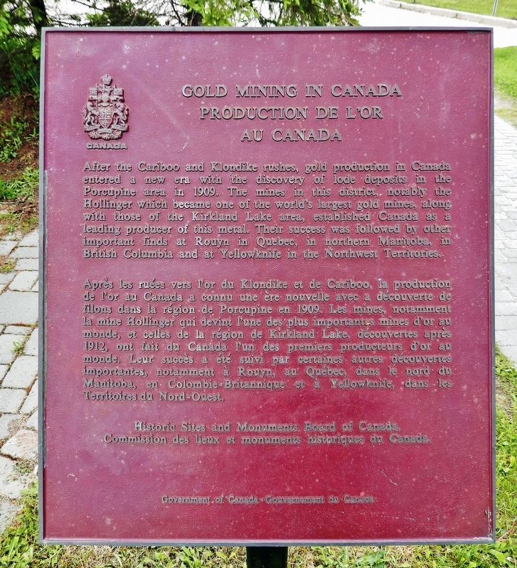
After the Cariboo and Klondike rushes, gold production in Canada entered a new era with the discovery of lode deposits in the Porcupine area in 1909. The mines in this district, notably the Hollinger which became one of the world's largest gold mines, along with those of the Kirkland Lake area, established Canada as a leading producer of this metal. Their success was followed by other important finds at Rouyn in Quebec, in northern Manitoba, in British Columbia and at Yellowknife in the Northwest Territories.
Après les ruées vers l’or du Klondike et de Cariboo, la production de l'or au Canada a connu une ère nouvelle avec a découverte de filons dans la région de Porcupine en 1909. Les mines, notamment la mine Hollinger qui devint l'une des plus importantes mines d'or au monde, et celles de la région de Kirkland Lake, découvertes après 1912, out fait du Canada l’un des premiers producteurs d’or au monde. Leur succès a été suivi par certaines autres découvertes importantes, notamment à Rouyn, au Québec, dans le nord du Manitoba, en Colombie-Britannique et à Yellowknife, dans les Territoires du Nord-Ouest.
Erected by Historic Sites and Monuments Board of Canada/Commission des lieux et monuments historiques du Canada.
Topics and series. This historical marker is listed in this topic list: Industry & Commerce. In addition, it is included in the Canada, Historic Sites and Monuments Board series list. A significant historical year for this entry is 1909.
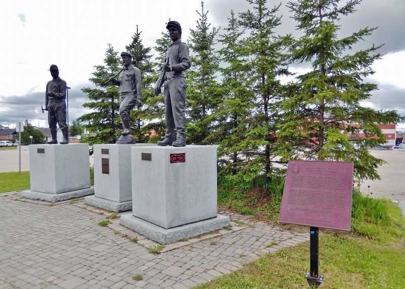
Location. 48° 28.361′ N, 81° 19.573′ W. Marker is in Timmins, Ontario, in Cochrane District. Marker can be reached from the intersection of 2nd Avenue and Brunette Road, on the right when traveling south. Marker is located along the walkway near the southeast corner of the Timmins Museum National Exhibition Centre. Touch for map. Marker is at or near this postal address: 325 2nd Avenue, Timmins ON P4N 8A4, Canada. Touch for directions.
Other nearby markers. At least 8 other markers are within 10 kilometers of this marker, measured as the crow flies. Shania Twain (approx. 0.3 kilometers away); "The Big Three" / Les trois principales mines (approx. 0.6 kilometers away); The Porcupine Gold Rush / La Ruée vers l'or de Porcupine (approx. 2 kilometers away); CFCL Radio / Station de radio CFCL (approx. 2 kilometers away); Ore From the Kidd Creek Mine (approx. 2.1 kilometers away); The Gold Seekers / Les chercheurs d'or (approx. 8.6 kilometers
away); Tisdale Township Municipal Building (approx. 8.6 kilometers away); The Porcupine Fire / L'incendie de Porcupine (approx. 9.1 kilometers away). Touch for a list and map of all markers in Timmins.
Also see . . .
1. Gold in Canada.
Following the famous rushes in California and Australia, gold was discovered in the sands of the Fraser River in the interior of BC, starting the Cariboo Gold Rush. Almost 40 years later, the legendary Klondike Gold Rush in the Yukon marked the beginning of one of the most productive periods in Canadian gold-mining history. The early 1900s saw the establishment of several major gold-mining camps in northern Ontario, including Porcupine, Timmins, Larder Lake, Kirkland Lake and Red Lake.(Submitted on June 4, 2022, by Cosmos Mariner of Cape Canaveral, Florida.)
2. Gold Rushes in Canada.
Rushes involved a period of discovery — either accidental or by roving fur traders and prospectors — of placers in paying quantities. Word of this spread, first locally, attracting other prospectors and their suppliers. Then, depending on the quality of the goldfields, word was carried farther afield by outbound prospectors and through the commercial press. This resulted in an even greater influx of gold seekers and adventurers into the gold-bearing territory.(Submitted on June 4, 2022, by Cosmos Mariner of Cape Canaveral, Florida.)
3. Hollinger Gold Mine.
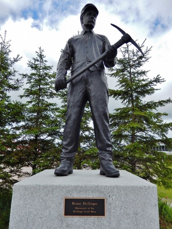
Rumors of gold in the Porcupine area had been circulating for some time, but every attempt to start production had resulted in poor returns. In June 1909 a group of prospectors found a rich vein that would eventually become the Dome Mine. The news was now out, and prospectors started flowing into the area, resulting in the Porcupine Gold Rush. The Hollinger Gold Mine was discovered October 9, 1909, by Benny Hollinger, who found the gold-bearing quartz dike that later became known as Hollinger Mines. Hollinger sold his claim to a small syndicate led by Noah Timmins that, in 1910, incorporated as Hollinger Mines in Timmins, Ontario. By 1945, the mine had 350 miles of underground railway, used by 36 electric locomotives, and 1,500 ore cars. The mine was so big that by the 1960s it had almost 600 miles of tunnels.(Submitted on June 4, 2022, by Cosmos Mariner of Cape Canaveral, Florida.)
Credits. This page was last revised on June 4, 2022. It was originally submitted on June 4, 2022, by Cosmos Mariner of Cape Canaveral, Florida. This page has been viewed 89 times since then and 8 times this year. Photos: 1, 2, 3, 4, 5. submitted on June 4, 2022, by Cosmos Mariner of Cape Canaveral, Florida.
