Monnaie in Paris in Département de Paris, Île-de-France, France — Western Europe
L'Enceinte de la Philippe-August / Wall of Philip II Augustus
— Histoire de Paris —
Inscription.
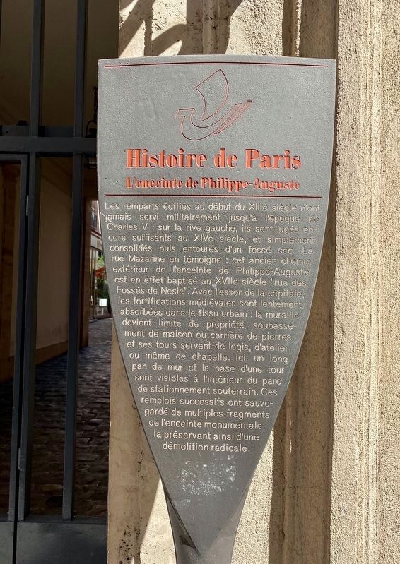
The ramparts on the left bank built at the beginning of the 11th century were never used militarily until the time of Charles V. They were still considered sufficient in the 14th century, and were simply consolidated and then surrounded by a dry moat. The rue Mazarine testifies to this: this former path outside the enclosure of Philippe-Auguste was in the 17th century called the "Street of Nesle ditch". With the rise of the capital, the medieval fortifications were slowly absorbed into the urban fabric: the wall became a property boundary, the basement of a house or a stone quarry, and its towers served as a dwelling, a workshop, or even a Chapel. Here, a long stretch of wall and the base of a tower are visible inside the underground parking lot. These successive reuses saved multiple fragments of the monumental enclosure, thus preserving it from radical demolition.
Topics and series. This historical marker is listed in this topic list: Forts and Castles. In addition, it is included in the Histoire de Paris series list.
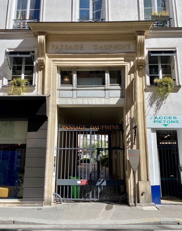
Location. 48° 51.286′ N, 2° 20.281′ E. Marker is in Paris, Île-de-France, in Département de Paris. It is in Monnaie. Marker is at the intersection of Rue Mazarine and Passage Dauphine, on the right when traveling north on Rue Mazarine. Touch for map. Marker is at or near this postal address: 27 Rue Mazarine, Paris, Île-de-France 75006, France. Touch for directions.
Other nearby markers. At least 8 other markers are within walking distance of this marker. Le Premiere Opéra de Paris (within shouting distance of this marker); Adam Mickiewicz, le poète exilé / the poet in exile
(about 90 meters away, measured in a direct line); Henri Lagriffoul (about 120 meters away); Marc-Antoine Gérard de Saint-Amant (about 120 meters away); István Keszei (about 150 meters away); Alexandre Tcherepnine / Alexander Tcherepnin (about 150 meters away); János Batsányi (about 150 meters away); Ancien Hotel des Pompes (about 150 meters away). Touch for a list and map of all markers in Paris.
Also see . . . Wall of Philip II Augustus (Wikipedia).
Excerpt: "The Wall of Philip Augustus is the oldest city wall of Paris (France) whose plan is accurately known. Partially integrated into buildings, more traces of it remain than of the later fortifications."(Submitted on June 11, 2022.)
Credits. This page was last revised on January 30, 2023. It was originally submitted on June 11, 2022, by Andrew Ruppenstein of Lamorinda, California. This page has been viewed 121 times since then and 25 times this year. Photos: 1, 2. submitted on June 11, 2022, by Andrew Ruppenstein of Lamorinda, California.

