Near Meyersdale in Somerset County, Pennsylvania — The American Northeast (Mid-Atlantic)
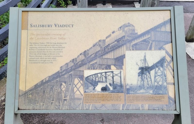
Salisbury Viaduct
The spectacular crossing of the Casselman River Valley
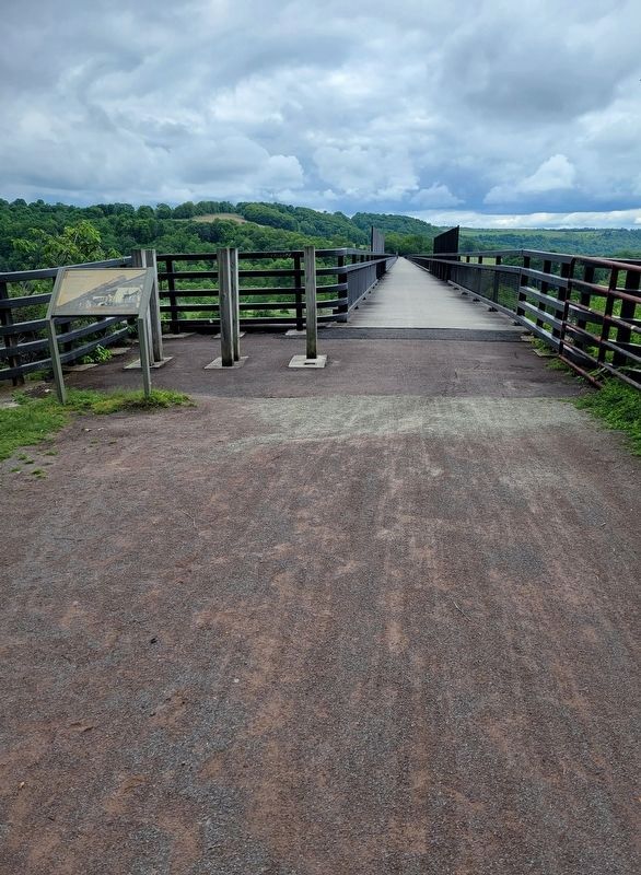
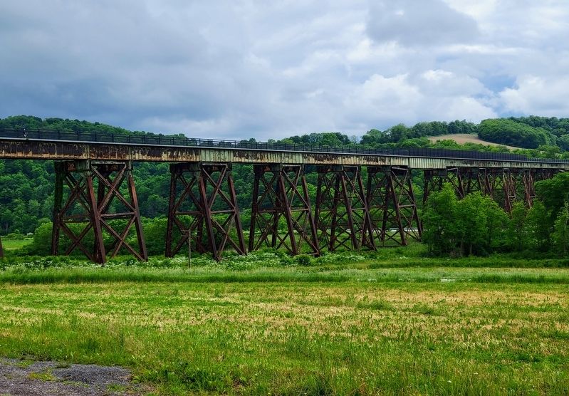
The Salisbury Viaduct, 1908 feet long, dominates the valley. The 101-foot-high steel trestle was a key engineering achievement for the Western Maryland Railway's Connellsville Extension. Hundreds of spectators cheered when the first train crossed in 1912. Like all the bridges on this part of the Western Maryland, it was built to accommodate a second track, which was never added. Abandoned as a through-route in 1975, it was decked for trail use in 1998.
(Captions):
Engineers use cuts and fills to create a level grade. This is how railroads built a fill in 1911. A trestle with railroad rails on top was built and cars full of excavated dirt and rock were run out on the wooden structure and dumped, eventually burying the trestle. This fill is the one that leads up to Salisbury Viaduct. The concrete arch bridge was for a county road.
Disaster struck Salisbury Viaduct on July 10, 1911 when a traveling electric crane crashed to the ground while lifting a 14.5 ton girder. Six men were killed and one seriously injured in the accident. A month later, another worker died when he fell off the deck of the viaduct.
Erected by Allegheny Trail Alliance, Somerset County and the National Park Service.
Topics. This historical marker is listed in these topic lists: Bridges & Viaducts • Disasters • Railroads & Streetcars. A significant historical year for this entry is 1908.
Location. 39° 49.917′ N, 79° 2.505′ W. Marker is near Meyersdale, Pennsylvania, in Somerset County. Marker can be reached from Johnny Popper Road, 0.2 miles east of Mason Dixon Highway (Business U.S. 219), on the right when traveling south. Marker is located on the Great Allegheny Passage trail at the east end of the Salisbury Viaduct. There is a parking area off Johnny Popper Road which allows access to the trail. Touch for map. Marker is in this post office area: Meyersdale PA 15552, United States of America. Touch for directions.
Other nearby markers. At least 8 other markers are within 2 miles of this marker, measured as the crow flies. Heckle Bridge (approx. 0.4 miles away); Veterans Memorial (approx. 1.3 miles away); Flora Black (approx. 1.4 miles away); Korean War/Vietnam Memorial (approx. 1.4 miles away); Defenders of Freedom and Justice Memorial (approx. 1.4 miles away); Early Meyersdale (approx. 1˝ miles away); Meyersdale (approx. 1˝ miles away); a different marker also named Meyersdale (approx. 1˝ miles away). Touch for a list and map of all markers in Meyersdale.
Credits. This page was last revised on June 18, 2022. It was originally submitted on June 12, 2022, by Bradley Owen of Morgantown, West Virginia. This page has been viewed 184 times since then and 44 times this year. Photos: 1, 2, 3. submitted on June 13, 2022, by Bradley Owen of Morgantown, West Virginia. • Bill Pfingsten was the editor who published this page.


