Sioux Falls in Minnehaha County, South Dakota — The American Midwest (Upper Plains)
Cherry Rock Bridge
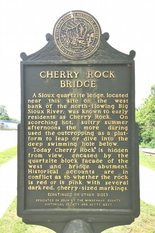
Today Cherry Rock is hidden from view, encased by the quartzite block facade of the west and bridge abutment. Historical accounts are in conflict as to whether the rock is red or is pink with several dark red, cherry-sized markings.
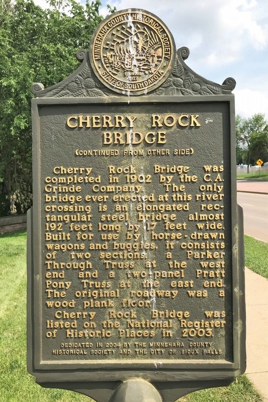
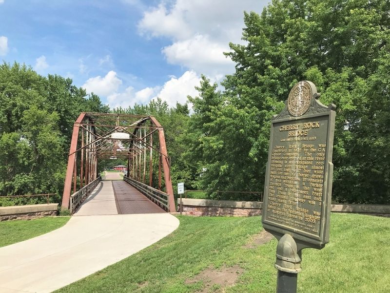
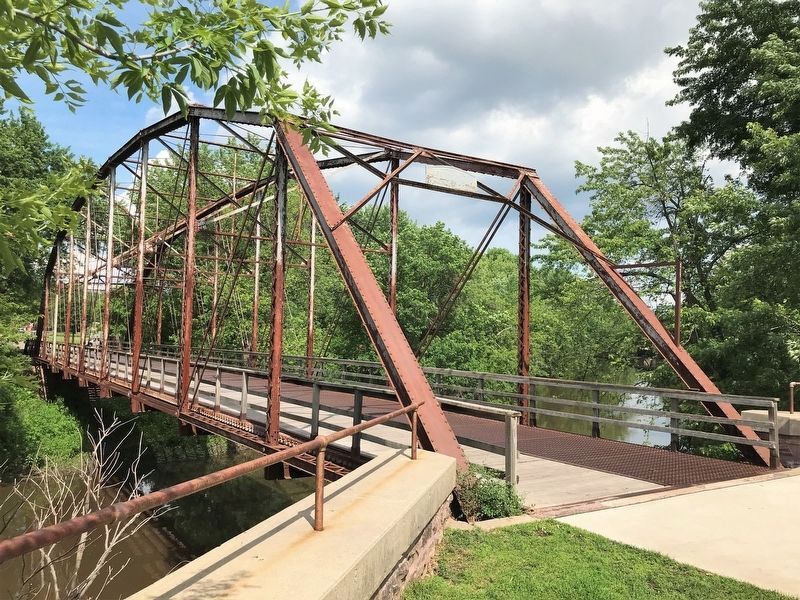
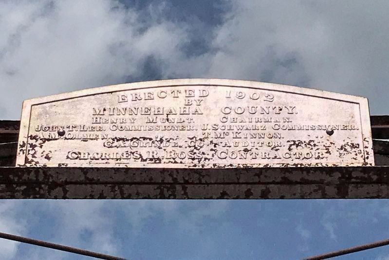
Cherry Rock Bridge was completed in 1902 by the C. A. Grinde Company. The only bridge ever erected at this river crossing is an elongated rectangular steel bridge almost 192 feet long by 17 feet wide. Built for use by horse-drawn wagons and buggies, it consists of two sections: a Parker Through Truss at the west end and a two-panel Pratt Pony Truss at the east end. The original roadway was a wood plank floor.
Cherry Rock Bridge was listed on the National Register of Historic Places in 2003.
Erected 2004 by the Minnehaha County Historical Society, Betty Best, and the City of Sioux Falls.
Topics. This historical marker is listed in these topic lists: Architecture • Bridges & Viaducts. A significant historical year for this entry is 1902.
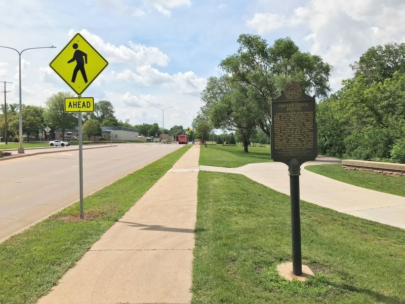
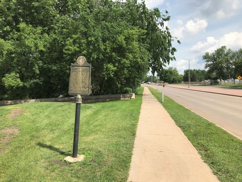
Location. 43° 32.247′ N, 96° 42.302′ W. Marker is in Sioux Falls, South Dakota, in Minnehaha County. Marker is on East River Boulevard, 0.3 miles west of South Southeastern Avenue, on the right when traveling west. Located in Cherry Rock Park, on the west side of Big Sioux River. Touch for map. Marker is in this post office area: Sioux Falls SD 57103, United States of America. Touch for directions.
Other nearby markers. At least 8 other markers are within walking distance of this marker. The First "Flying Machine" (approx. 0.3 miles away); Buffalo Bill (approx. 0.4 miles away); Military Road (approx. 0.4 miles away); Mount Pleasant Cemetery (approx. half a mile away); Josephine Martin Glidden Memorial Chapel (approx. half a mile away); Fort Dakota Soldiers (approx. 0.6 miles away); Sioux Falls (approx. 0.7 miles away); South Dakota School for the Deaf (approx. 0.7 miles away). Touch for a list and map of all markers in Sioux Falls.
Credits. This page was last revised on June 13, 2022. It was originally submitted on June 13, 2022. This page has been viewed 318 times since then and 73 times this year. Photos: 1, 2, 3, 4, 5, 6, 7. submitted on June 13, 2022.
