Fort Norfolk , Virginia — The American South (Mid-Atlantic)
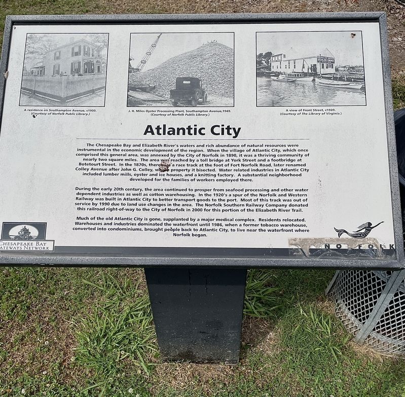
Atlantic City
During the early 20th century, the area continued to prosper from seafood processing and other water dependent industries as well as cotton warehousing. In the 1920's a spur of the Norfolk and Western Railway was built in Atlantic City to better transport goods to the port. Most of this track was out of service by 1990 due to land use changes in the area. The Norfolk Southern Railway Company donated this railroad right-of-way to the City of Norfolk in 2000 for this portion of the Elizabeth River Trail.
Much of the old Atlantic City is gone, supplanted by a major medical complex. Residents relocated. Warehouses and industries dominated the waterfront until 1986, when a former tobacco warehouse, converted into condominiums, brought peňple back to Atlantic City, to live near the waterfront where Norfolk began.
(captions)
A residence on Southampton Avenue, c.1900. (Courtesy of Norfolk Public Library.)
J. H. Miles Oyster Processing Plant, Southampton Avenue, 1949. (Courtesy of Nortolk Public Library.)
A view of Front Street, c.1920. (Courtesy of The Library of Virginia.)
Erected by City of Norfolk and the Chesapeake Bay Gateways Network.
Topics. This historical marker is listed in these topic lists: Bridges & Viaducts • Industry & Commerce. A significant historical year for this entry is 1890.
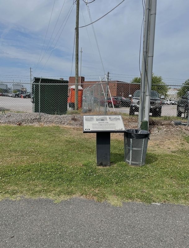
Location. 36° 51.528′ N, 76° 18.4′ W. Marker is in Norfolk, Virginia. It is in Fort Norfolk. Marker is at the intersection of Riverview Avenue and Southampton Avenue, on the left when traveling north on Riverview Avenue. Marker located on the Elizabeth River Trail, a 10.5 mile biking and pedestrian trail along the Elizabeth River. Touch for map. Marker is at or near this postal address: 301 Riverview Avenue, Norfolk VA 23510, United States of America. Touch for directions.
Other nearby markers. At least 8 other markers are within walking distance of this marker. Fort Norfolk (within shouting distance of this marker); Elizabeth River Restoration (about 500 feet away, measured in a direct line); Historical Points of Interest (about 800 feet away); War of 1812 Elizabeth River Defenses/War of 1812 (approx. 0.2 miles away); Development and Architecture of Fort Norfolk (approx. 0.2 miles away); Fort Norfolk Veterans of the War of 1812 Memorial (approx. 0.2 miles away); Fort Norfolk, 1810 (approx. 0.2 miles away); a different marker also named Fort Norfolk (approx. 0.2 miles away). Touch for a list and map of all markers in Norfolk.
Also see . . . Atlantic City. (Submitted on June 13, 2022, by Brandon D Cross of Flagler Beach, Florida.)
Credits. This page was last revised on February 1, 2023. It was originally submitted on June 13, 2022, by Brandon D Cross of Flagler Beach, Florida. This page has been viewed 423 times since then and 103 times this year. Photos: 1, 2. submitted on June 13, 2022, by Brandon D Cross of Flagler Beach, Florida. • Bernard Fisher was the editor who published this page.

