Havilah in Kern County, California — The American West (Pacific Coastal)
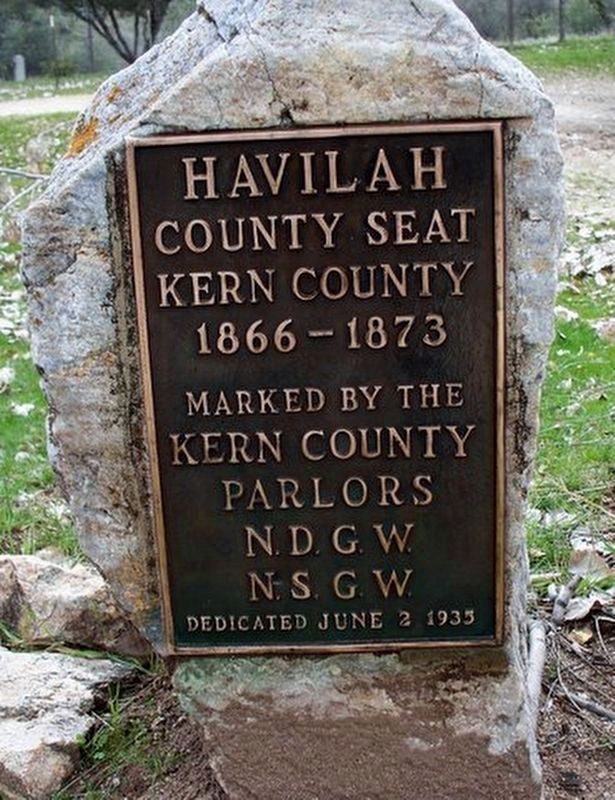
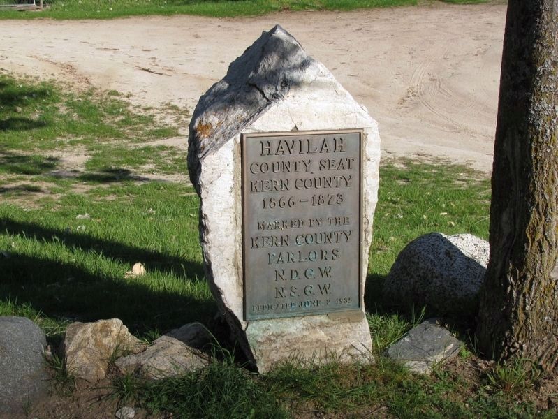
Havilah
Kern County
1866 - 1873
Erected 1935 by Kern County Parlors N.D.G.W and N.D.G.W.
Topics and series. This historical marker is listed in this topic list: Government & Politics. In addition, it is included in the Native Sons/Daughters of the Golden West series list. A significant historical year for this entry is 1866.
Location. 35° 30.895′ N, 118° 31.08′ W. Marker is in Havilah, California, in Kern County. Marker is on Caliente-Bodfish Road, on the right when traveling north. Marker is located at the beginning of the driveway to the Saint Joseph Cemetery (aka. Havilah Cemetery. Touch for map. Marker is at or near this postal address: 7065 Caliente-Bodfish Road, Caliente CA 93518, United States of America. Touch for directions.
Other nearby markers. At least 8 other markers are within 9 miles of this marker, measured as the crow flies. First Catholic Church and Cemetery in Kern County (within shouting distance of this marker); Stage Robbery! (approx. ¼ mile away); Historic Havilah (approx. ¼ mile away); a different marker also named Havilah (approx. ¼ mile away); Silver City Ghost Town (approx. 5.9 miles away); USS Arizona (approx. 6.7 miles away); Keyesville (approx. 7.7 miles away); Walker Basin (approx. 8.3 miles away). Touch for a list and map of all markers in Havilah.
Credits. This page was last revised on June 22, 2022. It was originally submitted on August 3, 2018, by Syd Whittle of Mesa, Arizona. This page has been viewed 207 times since then and 21 times this year. Last updated on June 19, 2022, by James King of San Miguel, California. Photos: 1. submitted on August 3, 2018, by Syd Whittle of Mesa, Arizona. 2. submitted on May 22, 2015, by Denise Boose of Tehachapi, California. 3. submitted on January 21, 2012, by Denise Boose of Tehachapi, California. • Andrew Ruppenstein was the editor who published this page.


