Kokomo in Howard County, Indiana — The American Midwest (Great Lakes)
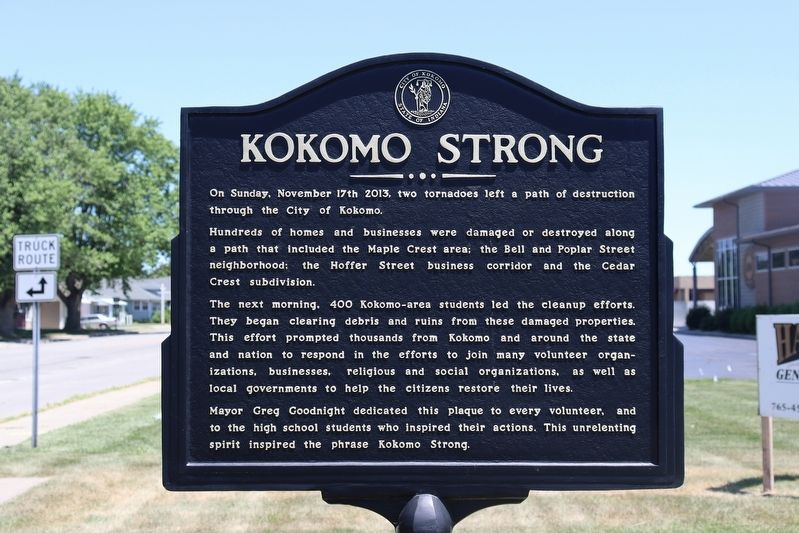
Kokomo Strong
On Sunday, November 17th 2013, two tornadoes left a path of destruction through the City of Kokomo.
Hundreds of homes and businesses were damaged or destroyed along a path that included the Maple Crest area; the Bell and Poplar Street neighborhood; the Hoffer Street business corridor and the Cedar Crest subdivision.
The next morning, 400 Kokomo-area students led cleanup efforts. They began clearing debris and ruins from these damaged properties. This effort prompted thousands from Kokomo and around the state and nation to respond in the efforts to join many volunteer organizations, businesses, religious and social organizations, as well as local governments to help the citizens restore their lives.
Mayor Greg Goodnight dedicated this plaque to every volunteer, and to the high school students who inspired their actions. This unrelenting spirit inspired the phrase Kokomo Strong.
Erected by City of Kokomo.
Topics. This historical marker is listed in this topic list: Disasters. A significant historical date for this entry is November 17, 2013.
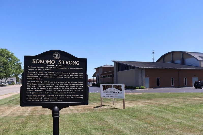
Location. 40° 27.961′ N, 86° 7.207′ W. Marker is in Kokomo, Indiana, in Howard County. Marker is on East Hoffer Street east of Waugh Court, on the right when traveling east. The marker sits just west of the U.A.W. Local 685 Union Hall. Touch for map. Marker is at or near this postal address: 921 E Hoffer St, Kokomo IN 46902, United States of America. Touch for directions.
Other nearby markers. At least 8 other markers are within walking distance of this marker. Kokomo Gas Tower (approx. ¼ mile away); Delco Radio Plant / Lake Erie & Western Railroad (approx. 0.4 miles away); Kokomo Opalescent Glass (approx. 0.6 miles away); Haynes’ Horseless Carriage (approx. 0.7 miles away); Haynes Automobile Company (approx. ¾ mile away); IUK Main Building (approx. ¾ mile away); Indiana University Kokomo (approx. 0.8 miles away); Kokomo Rubber Tire Company (approx. 0.9 miles away). Touch for a list and map of all markers in Kokomo.
Credits. This page was last revised on July 4, 2022. It was originally submitted on June 24, 2022, by Trevor L Whited of Kokomo, Indiana. This page has been viewed 121 times since then and 13 times this year. Photos: 1, 2. submitted on June 24, 2022, by Trevor L Whited of Kokomo, Indiana. • Devry Becker Jones was the editor who published this page.

