Amsterdam-Centrum , North Holland, Netherlands — Northwestern Europe
Huis De Pinto
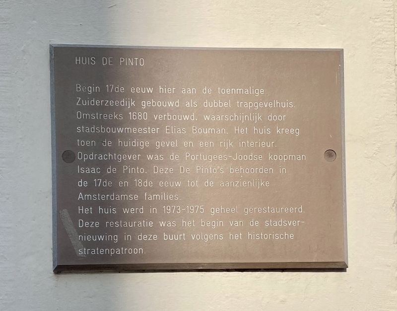
Het huis werd in 1973-1975 geheel gerestaureerd. Deze restauratie was het begin van de stadsvernieuwing in deze buurt volgens het historische stratenpatroon.
(English translation:)
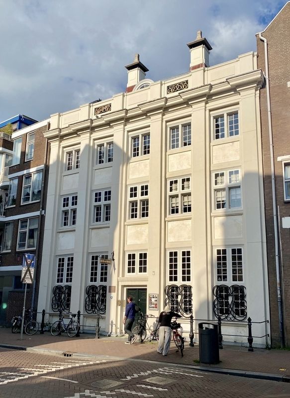
Built at the beginning of the 17th century here at the then Zuiderzeedijk as a double stepped-gable house. Renovated about 1680, likely the work of city architect Elias Bouman. It was then that the house got its current facade and a rich interior. The client was a Portuguese-Jewish merchant, Isaac de Pinto. The De Pintos were part of the 17th and 18th century upper class of Amsterdam.
The house was completely restored in 1973-1975. This restoration was the beginning of urban renewal in this neighborhood according to the historical street pattern.
Topics. This historical marker is listed in these topic lists: Architecture • Notable Buildings.
Location. 52° 22.206′ N, 4° 54.049′ E. Marker is in Amsterdam, Noord-Holland (North Holland). It is in Amsterdam-Centrum. Marker is on Sint Antoniesbreestraat, on the left when traveling south. Touch for map. Marker is at or near this postal address: Sint Antoniesbreestraat 69, Amsterdam, Noord-Holland 1011 WC, Netherlands. Touch for directions.
Other nearby markers. At least 8 other markers are within walking distance of this marker. Municipal Morgue (within shouting distance of this marker); Waterlooplein / Huis de Pinto (about 150 meters away, measured in a direct line); Boas Diamantfabriek (Diamond Factory) (about 180 meters away); De Herschepping Synagogue (about 180 meters away); Hendrick de Keyser (approx. 0.3 kilometers away); Benedictus de Spinoza (approx. 0.3 kilometers away); Jacobus Henricus van 't Hoff (approx. 0.3 kilometers away); Franz Liszt (approx. 0.3 kilometers away). Touch for a list and map of all markers in Amsterdam.
Also see . . . Huis De Pinto (Wikipedia).
Excerpt: "Huis De Pinto is a former Amsterdam city mansion on the Sint Antoniesbreestraat near the Rembrandthuis. It was originally built in 1605 but is named after a leading Amsterdam family dynasty of Portuguese-Jewish merchant bankers. The founder of this dynasty was Isaack de Pinto, from Antwerp, who moved to Rotterdam in 1647 but bought the house in 1651. His son commissioned the unusual facade, and his grandson Isaac de Pinto grew up there."(Submitted on June 29, 2022.)
Credits. This page was last revised on December 31, 2023. It was originally submitted on June 29, 2022, by Andrew Ruppenstein of Lamorinda, California. This page has been viewed 77 times since then and 22 times this year. Photos: 1, 2. submitted on June 29, 2022, by Andrew Ruppenstein of Lamorinda, California.

