East Berkshire in Montgomery in Franklin County, Vermont — The American Northeast (New England)
Fuller Covered Bridge
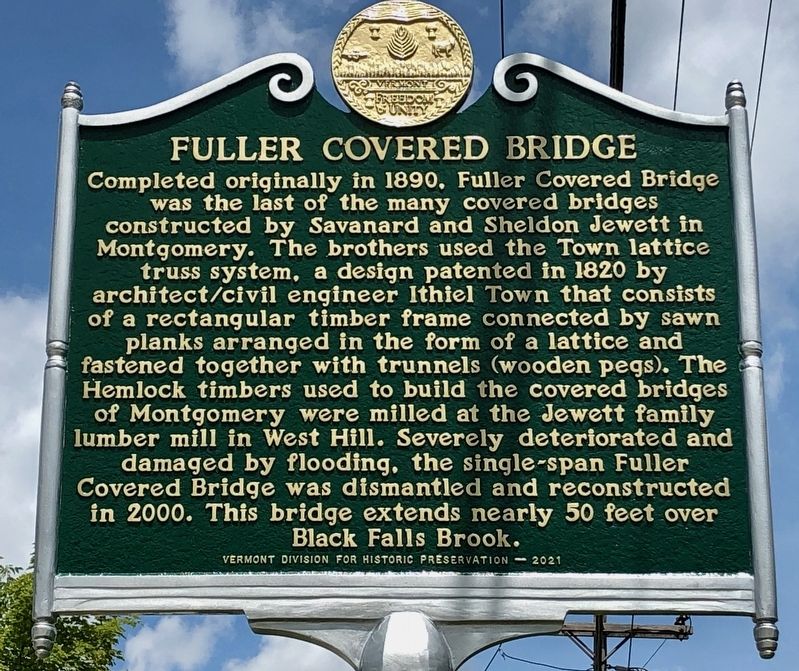
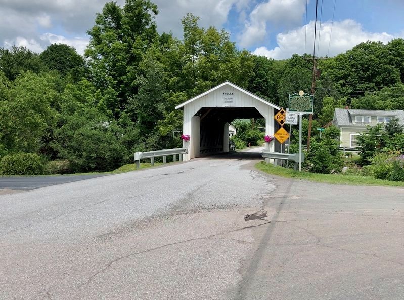
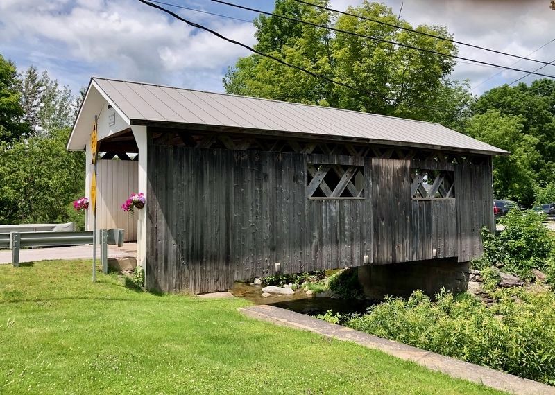
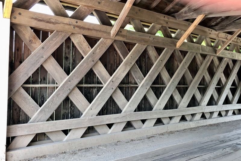
Completed originally in 1890, Fuller Covered Bridge was the last of the many covered bridges constructed by Savanard and Sheldon Jewett in Montgomery. The brothers used the Town lattice truss system, a design patented in 1820 by architect/civil engineer Ithiel Town that consists of a rectangular timber frame connected by sawn planks arranged in the form of a lattice and fastened together with trunnels (wooden pegs). The Hemlock timbers used to build the covered bridges of Montgomery were milled at the Jewett family lumber mill in West Hill. Severely deteriorated and damaged by flooding, the single-span Fuller Covered Bridge was dismantled and reconstructed in 2000. This bridge extends nearly 50 feet over Black Falls Brook.
Erected 2021 by Vermont Division for Historic Preservation.
Topics and series. This historical marker is listed in this topic list: Bridges & Viaducts. In addition, it is included in the Covered Bridges series list. A significant historical year for this entry is 1890.
Location. 44° 54.186′ N, 72° 38.376′ W. Marker is in Montgomery, Vermont, in Franklin County. It is in East Berkshire. Marker is at the intersection of Fuller Bridge Road and Black Falls Road, on the right when traveling north on Fuller Bridge Road. Touch for map. Marker is in this post office area: Montgomery VT 05470, United States of America. Touch for directions.
Other nearby markers. At least 8 other markers are within 12 miles of this marker, measured as the crow flies. Union Church (about 600 feet away, measured in a direct line); Comstock Covered Bridge (approx. 0.3 miles away); Longley Covered Bridge (approx. 0.8 miles away); Opera House of Enosburg Falls (approx. 8 miles away); Patent Medicine in Enosburg Falls (approx. 8 miles away); Birthplace of Larry Gardner (approx. 8.1 miles away); George Washington Henderson (approx. 11.1 miles away); Peter Bent Brigham / Brigham Academy (approx. 11˝ miles away). Touch for a list and map of all markers in Montgomery.
Also see . . . Fuller Covered Bridge (Wikipedia). (Submitted on July 2, 2022, by Michael Herrick of Southbury, Connecticut.)
Credits. This page was last revised on February 16, 2023. It was originally submitted on July 1, 2022, by Dennis Gilkenson of Saxtons River, Vermont. This page has been viewed 85 times since then and 14 times this year. Photos: 1, 2, 3, 4. submitted on July 1, 2022, by Dennis Gilkenson of Saxtons River, Vermont. • Michael Herrick was the editor who published this page.


