Near Rankin in Upton County, Texas — The American South (West South Central)
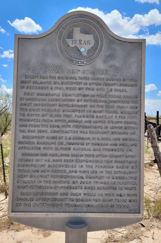
"Weir No.1" Oil Well
First quadruple completion in west Texas, called by American Association of Petroleum Engineers the most important development of the year 1961 - and the most prolific discovery in many years. Drilled to depth of 12,432 feet. Plugged back at 9,925 feet. Produces from upper, middle and lower strawn zones, and from the bend, with perforations in lower detrital gas zone. Contractor was Brahaney Drilling Co.
Discovery made by E.G. Rodman, W.D. Noel and Odessa Natural Gasoline Co. Founded by Rodman and Noel, and affiliated with El Paso Natural Gas Products Co.
Rodman and Noel who began their Upton County operations in 1940, have been responsible for numerous significant discoveries in the Permian Basin of Texas and New Mexico, and have led in the establishment of a vast petrochemical complex in Odessa. This utilizes in the making of such things as plastics, many petroleum by-products once scrapped as waste.
Such leadership and such wells as Weir No. 1 have enabled Upton County to remain for many years one of the outstanding production areas in Texas.
Erected 1964 by State Historical Survey Committee . (Marker Number 16.)
Topics. This historical marker is listed in this topic list: Industry & Commerce. A significant historical date for this entry is December 6, 1961.
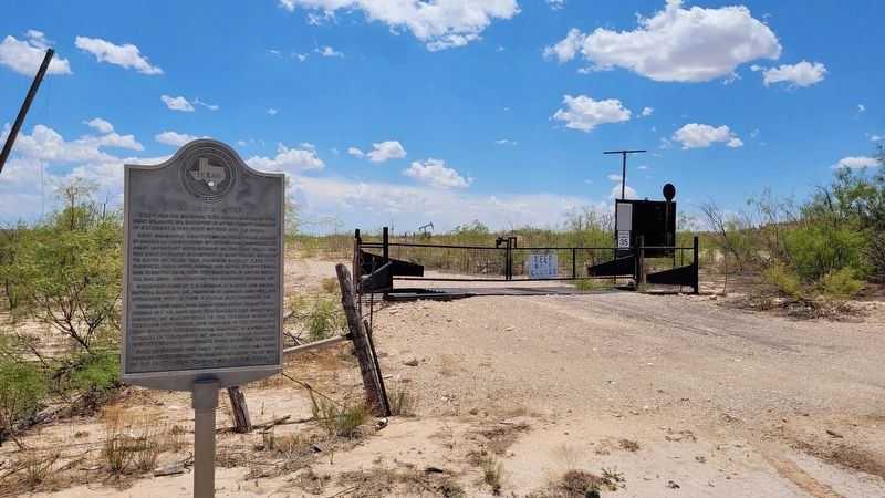
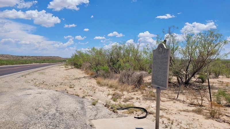
Location. 31° 17.018′ N, 102° 2.723′ W. Marker is near Rankin, Texas, in Upton County. Marker is at the intersection of U.S. 329 and County Highway 485, on the left when traveling north on U.S. 329. The marker is located along the highway near a ranch gate at the intersection. Touch for map. Marker is in this post office area: Mc Camey TX 79752, United States of America. Touch for directions.
Other nearby markers. At least 8 other markers are within 8 miles of this marker, measured as the crow flies. The Benedum Oil Field and Townsite (approx. 6.4 miles away); Rankin's All Kid Rodeo (approx. 7 miles away); Site of First Church in Upton County (approx. 7.3 miles away); First Baptist Church of Rankin (approx. 7.4 miles away); First State Bank of Rankin (approx. 7˝ miles away); Upland (approx. 7˝ miles away); Colonels John C. and William F. Upton (approx. 7˝ miles away); Yates Hotel (approx. 7.6 miles away). Touch for a list and map of all markers in Rankin.
Also see . . . Yates Oil Field. Wikipedia (Submitted on July 3, 2022, by James Hulse of Medina, Texas.)
Credits. This page was last revised on July 3, 2022. It was originally submitted on July 2, 2022, by James Hulse of Medina, Texas. This page has been viewed 240 times since then and 53 times this year. Photos: 1, 2, 3. submitted on July 3, 2022, by James Hulse of Medina, Texas.


