Ironwood in Gogebic County, Michigan — The American Midwest (Great Lakes)
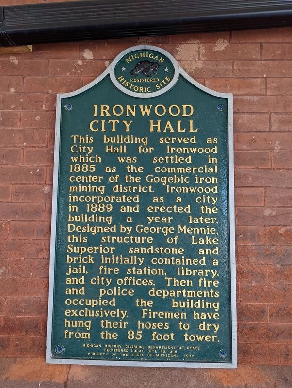
Ironwood City Hall
Erected 1977 by Michigan History Division, Department of State. (Marker Number L0399.)
Topics. This historical marker is listed in this topic list: Notable Buildings. A significant historical year for this entry is 1885.
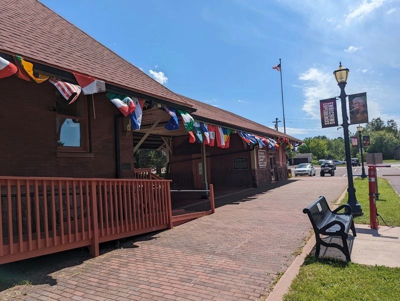
Location. 46° 27.316′ N, 90° 10.238′ W. Marker is in Ironwood, Michigan, in Gogebic County. Located at the old train depot, Ironwood Historical Society. Touch for map. Marker is at or near this postal address: 150 North Lowell Street, Ironwood MI 49938, United States of America. Touch for directions.
Other nearby markers. At least 8 other markers are within 2 miles of this marker, measured as the crow flies. Italians on the Gogebic Iron Range (here, next to this marker); Curry House (approx. half a mile away); Miners Memorial Heritage Park (approx. half a mile away); Commemorating the Iron Ore Industry (approx. half a mile away); Hiawatha (approx. 0.6 miles away); Penokee Iron Range Trail – Historic Iron County Courthouse (approx. 0.8 miles away in Wisconsin); This 5 ˝ Foot Diameter Drill Core (approx. 0.9 miles away in Wisconsin); Iron Mining in Wisconsin (approx. 1.3 miles away in Wisconsin). Touch for a list and map of all markers in Ironwood.
Credits. This page was last revised on July 7, 2022. It was originally submitted on July 5, 2022, by Mike Wintermantel of Pittsburgh, Pennsylvania. This page has been viewed 176 times since then and 39 times this year. Photos: 1, 2. submitted on July 5, 2022, by Mike Wintermantel of Pittsburgh, Pennsylvania.

