Near Hubbardton in Rutland County, Vermont — The American Northeast (New England)
Beginnings of the Battle
Hubbardton Battlefield State Historic Site
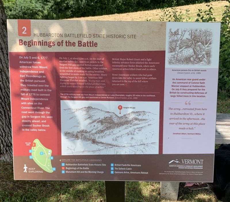
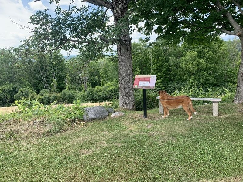
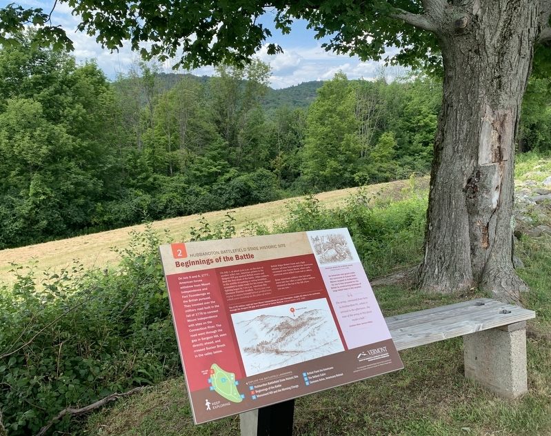
On July 5 and 6, 1777, American forces withdrew from Mount Independence and Fort Ticonderoga as the British pursued. They traveled over the military road built in the fall of 1776 to connect Mount Independence with sites on the Connecticut River. The road went through the gap in Sargent Hill, seen directly ahead, and crossed Sucker Brook in the valley below.
On July 7, at about 5:00 a.m. on the start of another sultry day, American pickets in the Sargent Hill gap spotted British scouts and fired the first shots of the battle. Other soldiers, in the middle of cooking or eating breakfast, scrambled to make ready for the enemy. Heavy fighting began by 7:00 a.m. American fifer Ebenezer Fletcher recalled, "Every man was trying to secure himself behind girdled trees, which were standing on the place of action."
British Major Robert Grant and a light infantry advance force attacked the Americans encamped near Sucker Brook, where early American action killed Grant and 21 others.
Some Americans soldiers who had gone down into the valley to assist fellow soldiers returned to the top of the hill where you are now.
An American rear guard under the command of Colonel Seth Warner stopped at Hubbardton. On July 6 they prepared for the British by constructing defenses of large felled trees in this location. " The army...retreated from here to Hubbardton Vt., where it arrived in the afternoon...the rear of the army at this place made a halt."
Jonathan Aiken, Vermont Militia
(center drawing caption) The 1776 military road ran from Mount Independence on Lake Champlain, roughly 25 miles to the northwest, through the Sargent Hill gap and southeast to Center Rutland. (Edward Epstein, artist, 1988)
(right drawing caption) American pickets fire on British Scouts (Edward Epstein, artist, 1988)
EXPLORE THE BATTLEFIELD LANDMARKS
1 Hubbardton Battlefield State Historic Site
2 Beginnings of the Battle
3 Monument Hill and the Morning Charge
4 British Flank the Americans
5 The Selleck Cabin
6 Germans Arrive, Americans Retreat
Erected by Vermont Division of Historic Preservation. (Marker Number 2.)
Topics. This historical marker is listed in this topic list: War, US Revolutionary. A significant historical date for this entry is July 7, 1777.
Location. 43° 41.77′ N, 73° 8.455′ W. Marker is near Hubbardton, Vermont, in Rutland County. Marker can be reached from Monument Hill Road north of St. John Road. Touch for map. Marker is at or near this postal address: 5696 Monument Hill Rd, Castleton VT 05735, United States of America. Touch for directions.
Other nearby markers. At least 8 other markers are within walking distance of this marker. Monument Hill And The Morning Charge (within shouting distance of this marker); British Flank The Americans (about 400 feet away, measured in a direct line); British Flank Near Mt. Zion (about 500 feet away); Welcome to the Hubbardton Battlefield State Historic Site (about 500 feet away); Germans Arrive, Americans Retreat (about 700 feet away); Hubbardton Battle Monument (about 700 feet away); Battle of Hubbardton (about 700 feet away); The Selleck Cabin (approx. ¼ mile away). Touch for a list and map of all markers in Hubbardton.
Also see . . . Battle of Hubbardton (Wikipedia). (Submitted on July 14, 2022, by Michael Herrick of Southbury, Connecticut.)
Credits. This page was last revised on July 14, 2022. It was originally submitted on July 10, 2022, by Steve Stoessel of Niskayuna, New York. This page has been viewed 89 times since then and 17 times this year. Photos: 1, 2, 3. submitted on July 10, 2022, by Steve Stoessel of Niskayuna, New York. • Michael Herrick was the editor who published this page.


