South Middleton Township near Boiling Springs in Cumberland County, Pennsylvania — The American Northeast (Mid-Atlantic)
The Iron Industry in Boiling Springs
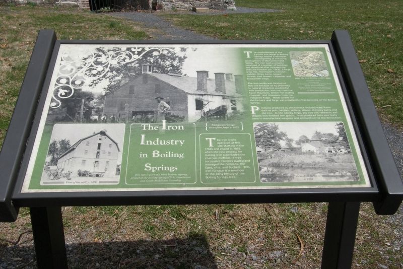
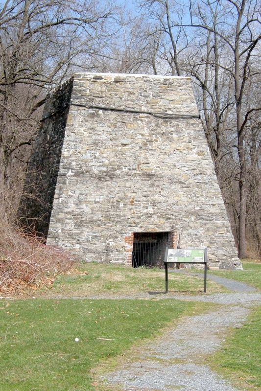
The iron works operated at this site starting (sic) in the 1760s and ended in 1895, when the new process for making iron superseded the charcoal method. Three successive families owned and managed the complex, the Eges, Ahis, and Butchers. This iron furnace is a reminder of the early history of the Boiling Springs area.
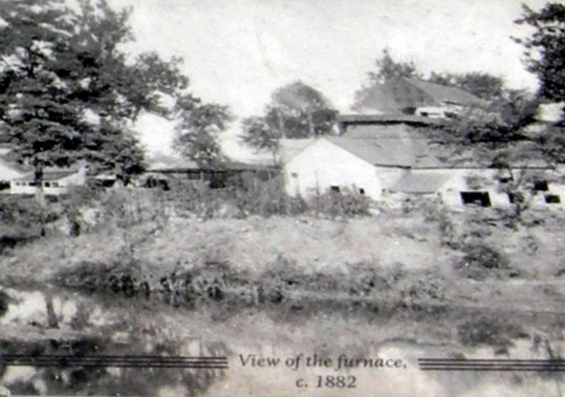
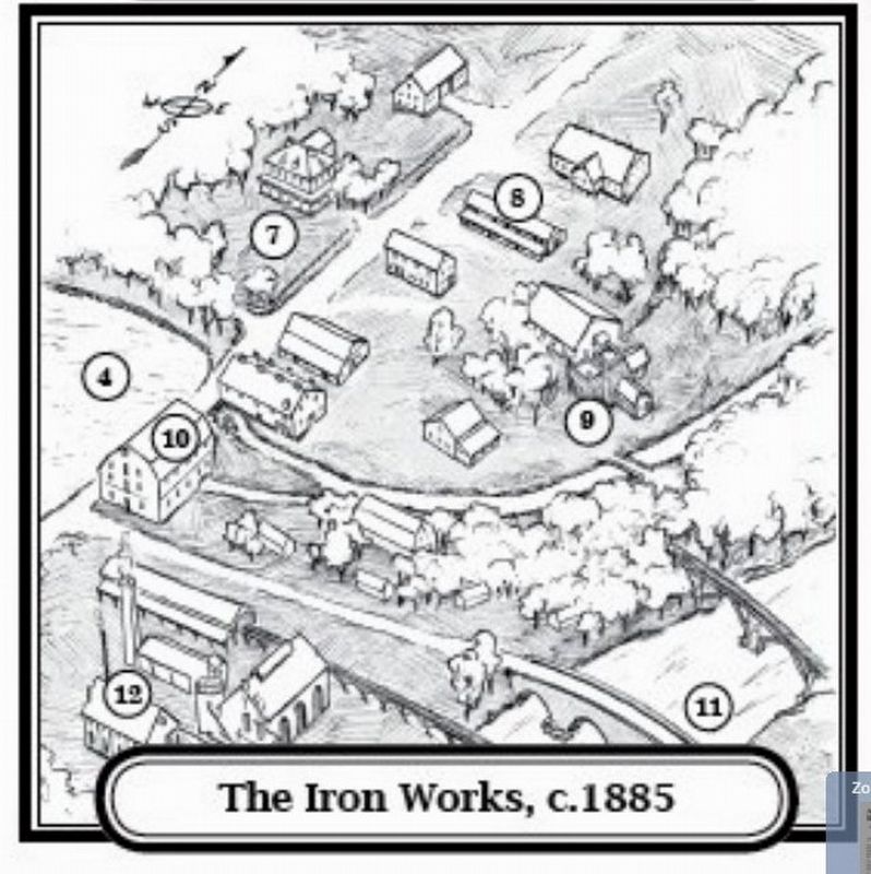
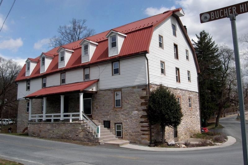
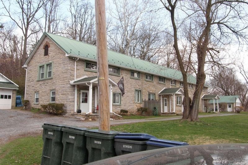
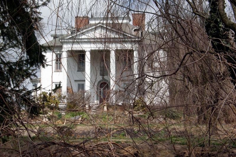
The establishment of the Carlisle Iron Works in Boiling Springs around 1760 marks the beginning of industrial development in the Cumberland Valley. The iron works complex consisted of a number of buildings and structures that included the charcoal furnace (ca. 1762), a forge, grist mill, ironmaster’s mansion, stables, three barns, tenant houses, coal houses, carpenter, and blacksmith shops.
The iron works was located at this site because of its proximity to natural resources needed for iron production: iron ore from the South Mountain, timber for making charcoal, and limestone from the Ironstone Ridge. Water power for the furnace and force was provided by the damming of the Boiling Springs.
products produced at this furnace included cast items such as pots, kettles, skillets, stoves, chimney backs and pig iron. At the nearby forge, pig iron was reheated and shaped into finished iron goods. Iron produced here was likely used to manufacture weapons and ammunition for the Revolution.
This sign is part of a joint historic signage project of the Boiling Springs Civic Association and South Middletown Township
Erected by Boiling Springs Civic Association and South Middleton Township.
Topics. This historical marker is listed in this topic list: Industry & Commerce. A significant historical year for this entry is 1895.
Location. 40° 8.87′ N, 77° 7.433′ W. Marker is near Boiling Springs, Pennsylvania, in Cumberland County. It is in South Middleton Township. Marker is on Bucher Hill Road south of Mountain Road, on the left when traveling south. Touch for map. Marker is at or near this postal address: 109 Bucher Hill Rd, Boiling Springs PA 17007, United States of America. Touch for directions.
Other nearby markers. At least 8 other markers are within walking distance of this marker. Historical Iron Works (within shouting distance of this marker); South Middleton Township (about 300 feet away, measured in a direct line); The Benches at Boiling Springs (about 400 feet away); Daniel Kaufman (approx. 0.2 miles away); Ege Burial Plot (approx. 0.2 miles away); Carlisle Iron Works (approx. 0.2 miles away); The Lake at Boiling Springs (approx. ¼ mile away); The Appalachian National Scenic Trail (approx. ¼ mile away). Touch for a list and map of all markers in Boiling Springs.
Also see . . .
1. Boiling Springs Historic District. "Living Places Neighborhoods" entry. (Submitted on June 20, 2020, by Larry Gertner of New York, New York.)
2. Boiling Springs, Pennsylvania
. Wikipedia entry (Submitted on June 20, 2020, by Larry Gertner of New York, New York.)
Credits. This page was last revised on February 7, 2023. It was originally submitted on June 20, 2020, by Larry Gertner of New York, New York. This page has been viewed 474 times since then and 96 times this year. Last updated on July 13, 2022, by Carl Gordon Moore Jr. of North East, Maryland. Photos: 1, 2, 3, 4, 5, 6, 7. submitted on June 20, 2020, by Larry Gertner of New York, New York. • Bill Pfingsten was the editor who published this page.
