Redwood City in San Mateo County, California — The American West (Pacific Coastal)
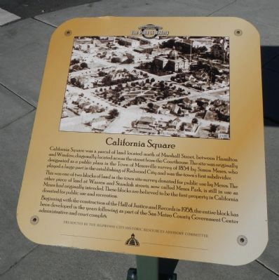
California Square
The Path of History
This was one of two blocks of land in the town site survey donated for public use by Mezes. The other piece of land at Warren and Standish streets, now called Mezes Park, is still in use as Mezes had originally intended. These blocks are believed to be the first property in California donated for public use and recreation.
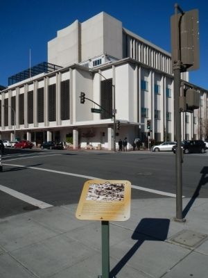
Beginning with the construction of the Hall of Justice and Records in 1958, the entire block has been developed in the years following as part of the San Mateo County Government Center administrative and court complex.
Erected by Redwood Historic Resources Advisory Committee.
Topics. This historical marker is listed in this topic list: Notable Places. A significant historical year for this entry is 1854.
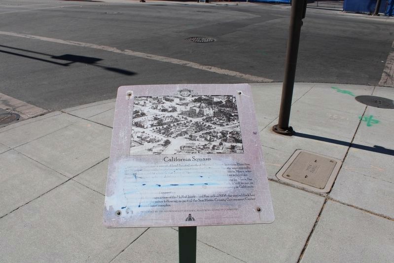
Location. 37° 29.245′ N, 122° 13.805′ W. Marker is unreadable. Marker is in Redwood City, California, in San Mateo County. Marker is at the intersection of Hamilton Street and Marshall Street on Hamilton Street. Touch for map. Marker is at or near this postal address: 701 Hamilton Street, Redwood City CA 94063, United States of America. Touch for directions.
Other nearby markers. At least 8 other markers are within walking distance of this location. Lathrop House (a few steps from this marker); Lathrop-Connor-Mansfield House (a few steps from this marker); a different marker also named California Square (within shouting distance of this marker); "Old" San Mateo County Courthouse (within shouting distance of this marker); a different marker also named Old San Mateo County Courthouse (about 400 feet away, measured in a direct line); New Sequoia/Fox Theatre (about 400 feet away); Fox Theater (about 400 feet away); Former Site of Sequoia High School (about 500 feet away). Touch for a list and map of all markers in Redwood City.
Credits. This page was last revised on July 20, 2022. It was originally submitted on January 14, 2013, by Barry Swackhamer of Brentwood, California. This page has been viewed 501 times since then and 20 times this year. Last updated on July 19, 2022, by Joseph Alvarado of Livermore, California. Photos: 1. submitted on January 14, 2013, by Barry Swackhamer of Brentwood, California. 2. submitted on July 20, 2022, by Joseph Alvarado of Livermore, California. 3. submitted on January 14, 2013, by Barry Swackhamer of Brentwood, California. • Andrew Ruppenstein was the editor who published this page.


