Near Guttenberg in Clayton County, Iowa — The American Midwest (Upper Plains)
Mississippi Valley Overlook
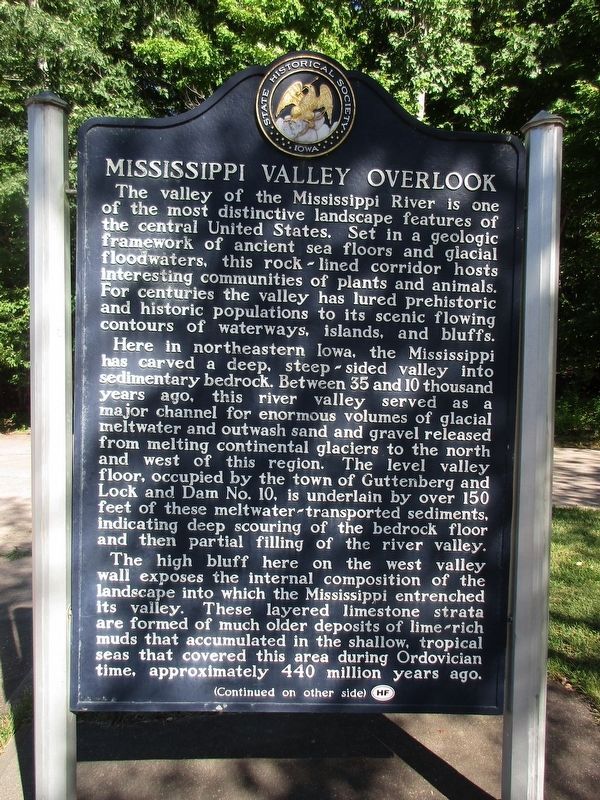
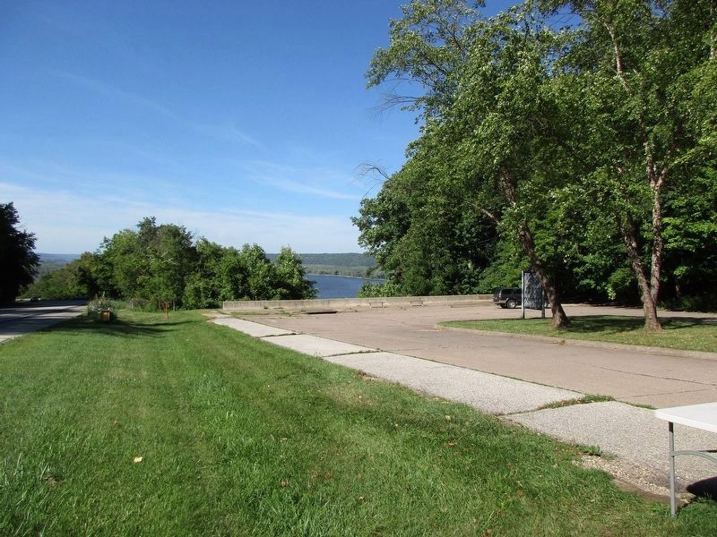
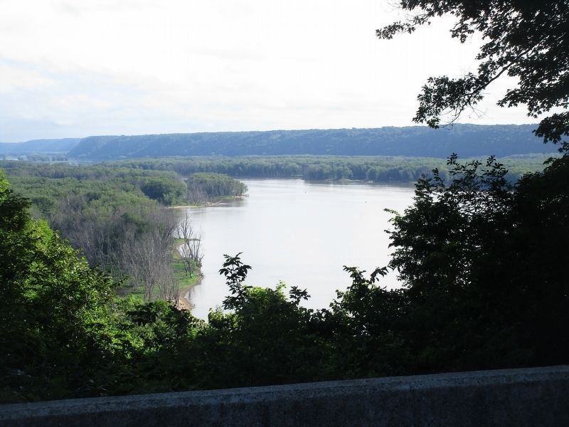
The valley of the Mississippi River is one of the most distinctive landscape features of the central United States. Set in a geologic framework of ancient sea floors and glacial flood waters, this rock-lined corridor hosts interesting communities of plants and animals. For centuries the valley has lured prehistoric and historic populations to its scenic flowing contours of waterways, islands and bluffs. Here in northeastern Iowa, the Mississippi has carved a deep, steep-sided valley into sedimentary bedrock. Between 35 and 10 thousand years ago, this river valley served as a major channel for enormous volumes of glacial meltwater and outwash sand and gravel released from melting continental glaciers to the north and west of this region. The level valley floor, occupied by the town of Guttenberg and Lock and Dam No. 10, is underlain by over 150 feet of these meltwater-transported sediments, indicating deep scouring of the bedrock floor and then partial filling of the river valley. The high bluff here on the west valley wall exposes the internal composition of the landscape into which the Mississippi entrenched its valley. These layered limestone strata are formed of much older deposits of lime-rich muds that accumulated in the shallow, tropical seas that covered this area during Ordovician time, approximately 440 million years ago.
(Continued on other side)
(Continued from other side)
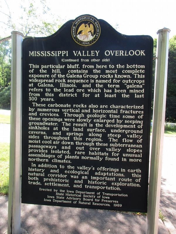
This particular bluff, from here to the bottom of the hill, contains the most complete exposure of the Galena Group rocks known. This widespread rock sequence is named for outcrops at Galena, Illinois, and the term “galena” refers to the lead ore which has been mined from this district for at least the last 300 years. These carbonate rocks are also characterized by numerous vertical and horizontal fractures and crevices. Through geologic time some of these openings were slowly enlarged by seeping groundwater. The result is the development of sinkholes at the land surface, underground caverns, and springs along steep valley sides throughout this region. The flow of moist cool air down through these subterranean passageways and out over the valley slopes provides isolated, rare habitats for unusual assemblages of plants normally found in more northern climates. In addition to the valley’s offerings in earth history and ecological adaptations, this natural corridor was an important route of both prehistoric and historic exploration, trade, settlement, and transportation.
Erected 1989 by Iowa Department of Transportation, State Historical Society of Iowa, Iowa State Advisory Board of Preserves, Iowa Department of Natural Resources. (Marker Number 43.)
Topics. This historical marker is listed in this topic list: Natural Resources.
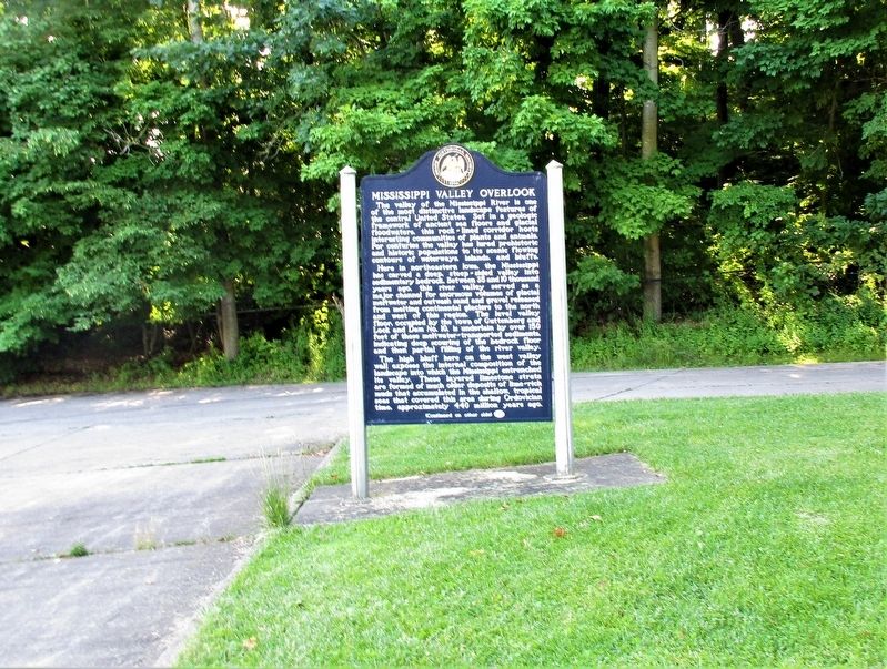
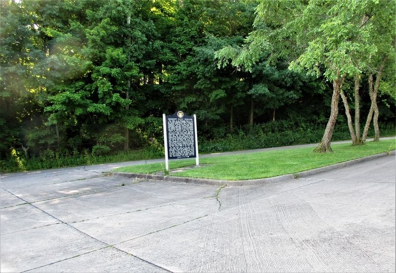
Location. 42° 44.863′ N, 91° 5.359′ W. Marker is near Guttenberg, Iowa, in Clayton County. Marker is on Great River Road Hiawatha Pioneer Trail (U.S. 52), on the right when traveling north. The marker is at the Guttenberg Rest Stop. Touch for map. Marker is at or near this postal address: 32998 US-52, Guttenberg IA 52052, United States of America. Touch for directions.
Other nearby markers. At least 5 other markers are within 14 miles of this marker, measured as the crow flies. Historic Cassville Ferry (approx. 5˝ miles away in Wisconsin); The Cassville Veterans Memorial (approx. 5˝ miles away in Wisconsin); Denniston House (approx. 5.6 miles away in Wisconsin); Village of Cassville (approx. 5.6 miles away in Wisconsin); New Vienna Veterans Memorial (approx. 13.8 miles away).
Credits. This page was last revised on August 26, 2023. It was originally submitted on July 29, 2022, by Rev. Ronald Irick of West Liberty, Ohio. This page has been viewed 151 times since then and 22 times this year. Photos: 1, 2. submitted on August 20, 2023, by Jeff Leichsenring of Garland, Texas. 3, 4. submitted on July 29, 2022, by Rev. Ronald Irick of West Liberty, Ohio. 5. submitted on August 20, 2023, by Jeff Leichsenring of Garland, Texas. 6. submitted on July 29, 2022, by Rev. Ronald Irick of West Liberty, Ohio. • J. Makali Bruton was the editor who published this page.
