Zumbrota in Goodhue County, Minnesota — The American Midwest (Upper Plains)
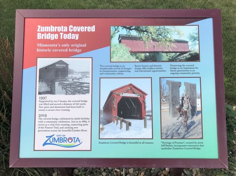
Zumbrota Covered Bridge Today
1997
Supported by two I-beams, the covered bridge was lifted and moved a distance of 100 yards. New piers and abutments had been built to ensure a secure river crossing.
2019
The covered bridge celebrated its 150th birthday with a community celebration. Just as in 1869, it serves as a vital river crossing, connecting parts of the Pioneer Trail, and carrying new generations across the beautiful Zumbro River.
The covered bridge is an irreplaceable record of changes in transportation, engineering, and community culture.
Rustic beauty and historic design offer endless artistic and educational opportunities.
Preserving the covered bridge as an inspiration for future generations is an ongoing community priority.
Zumbrota Covered Bridge is beautiful in all seasons.
"Heritage of Promise", created by artist Jeff Barber, incorporates structures that symbolize Zumbrota Covered Bridge.
Erected by the City of Zumbrota.
Topics and series. This historical marker is listed in this topic list: Bridges & Viaducts. In addition, it is included in the Covered Bridges series list. A significant historical year for this entry is 1997.
Location. 44° 17.757′ N, 92° 40.208′ W. Marker is in Zumbrota, Minnesota, in Goodhue County. Marker is on West Avenue, 0.1 miles north of West 2nd Street, on the right when traveling north. Located by the Zumbrota Covered Bridge in Zumbrota. Touch for map. Marker is in this post office area: Zumbrota MN 55992, United States of America. Touch for directions.
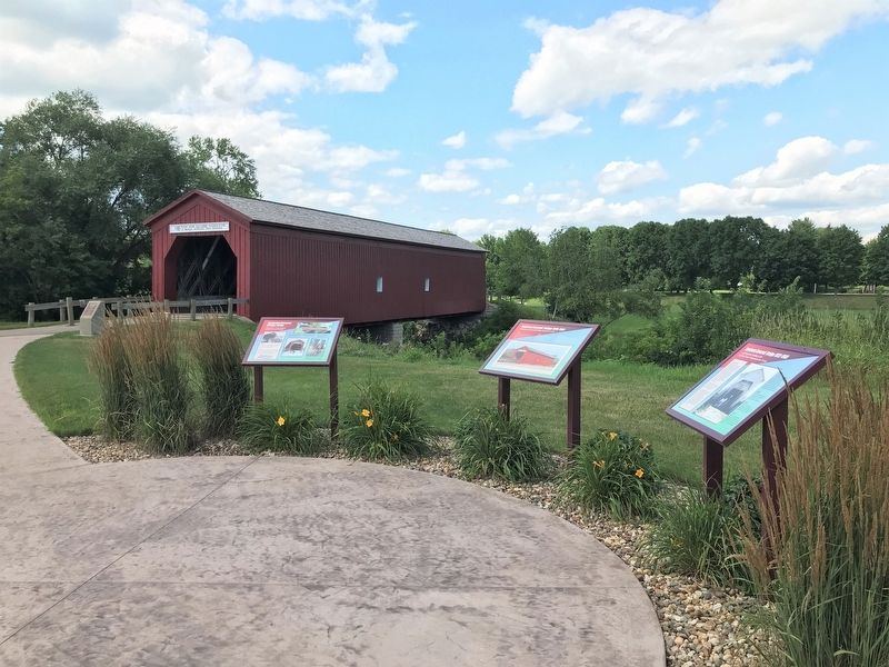
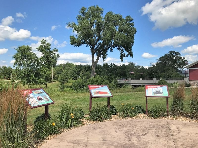
Other nearby markers. At least 8 other markers are within 11 miles of this marker, measured as the crow flies. Zumbrota Covered Bridge 1970-1997 (here, next to this marker); Zumbrota Covered Bridge 1932-1969 (here, next to this marker); Zumbrota Covered Bridge 1869-1932 (a few steps from this marker); Zumbrota Covered Bridge (a few steps from this marker); "The Old Covered Bridge" (a few steps from this marker); First Congregational Church (approx. ¼ mile away); Zumbrota (approx. 0.9 miles away); The Claybank Pits (approx. 10.6 miles away). Touch for a list and map of all markers in Zumbrota.
Related markers. Click here for a list of markers that are related to this marker.
Credits. This page was last revised on August 1, 2022. It was originally submitted on August 1, 2022. This page has been viewed 64 times since then and 16 times this year. Photos: 1, 2, 3. submitted on August 1, 2022.


