Zumbrota in Goodhue County, Minnesota — The American Midwest (Upper Plains)
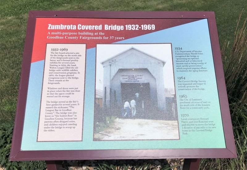
Zumbrota Covered Bridge 1932-1969
1932-1969
The fair board selected a site for the bridge on the north side of the fairgrounds next to the barns, and it housed poultry exhibits for several years. Starting in 1959, the Isaak Walton League filled the old bridge with wildlife exhibits and conservation programs. In 1960, the league planted evergreens next to the bridge. These remain at the fairgrounds.
Windows and doors were put in place when the fair was done so that the space could be rented out for storage.
The bridge served as the fair's beer garden for several years. It earned the nickname "The Longest Bar in Goodhue County". The bridge was also know as "the holiest floor" in Goodhue County, because bar patrons often dropped coins, and children enjoyed crawling under the bridge to scoop up the riches.
1934
U.S. Department of Interior Undersecretary Harold Ickes recognized the bridge as "possessing exceptional historical and architectural interest and as being worthy of most careful preservation," which inspired ongoing efforts to maintain the aging structure.
1964
The Covered Bridge Society was organized and began to actively promote the preservation of the bridge.
1965
The City of Zumbrota purchased 40 acres of land on the south side of the Zumbro River for a community park.
1970
Local contractors Howard Flaten and Don Ramstad were paid $2,000 to move the bridge a distance of one mile to its new home in the Covered Bridge Park.
Erected by the City of Zumbrota.
Topics and series. This historical marker is listed in this topic list: Bridges & Viaducts. In addition, it is included in the Covered Bridges series list. A significant historical year for this entry is 1932.
Location. 44° 17.756′ N, 92° 40.205′ W. Marker is in Zumbrota, Minnesota, in Goodhue County. Marker is on West Avenue, 0.1 miles north of West 2nd Street, on the right when traveling north. Located by the Zumbrota Covered Bridge in Zumbrota. Touch for map. Marker is in this post office area: Zumbrota MN 55992, United States of America. Touch for directions.
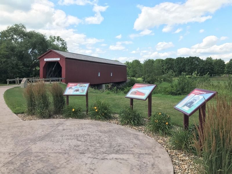
Other nearby markers. At least 8 other markers are within 11 miles of this marker, measured as the crow flies. Zumbrota Covered Bridge 1970-1997 (here, next to this marker); Zumbrota Covered Bridge Today (here, next to this marker); Zumbrota Covered Bridge 1869-1932 (a few steps from this marker); Zumbrota Covered Bridge (within shouting distance of this marker); "The Old Covered Bridge" (within shouting distance of this marker); First Congregational Church
(approx. ¼ mile away); Zumbrota (approx. 0.9 miles away); The Claybank Pits (approx. 10.6 miles away). Touch for a list and map of all markers in Zumbrota.
Related markers. Click here for a list of markers that are related to this marker.
Credits. This page was last revised on August 1, 2022. It was originally submitted on August 1, 2022. This page has been viewed 90 times since then and 18 times this year. Photos: 1, 2, 3. submitted on August 1, 2022.


