Broadus in Powder River County, Montana — The American West (Mountains)
A Community Formed
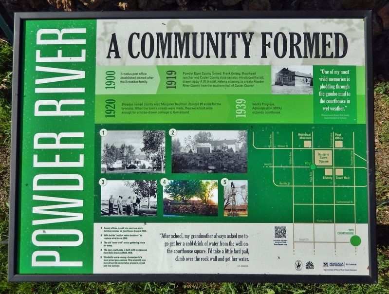
Powder River
"One of my most vivid memories is plodding through the gumbo mud to the courthouse in wet weather."
—Winona Lewis Bryan, first County Superintendent of Schools
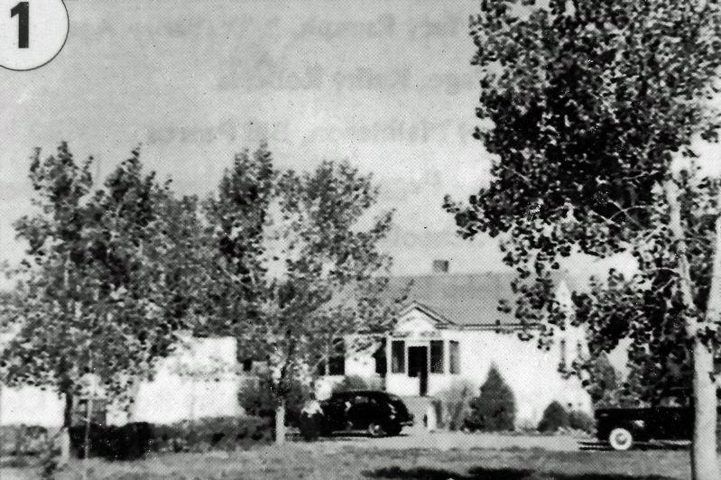
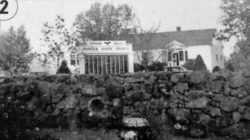
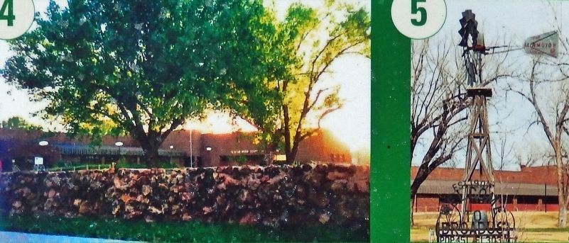
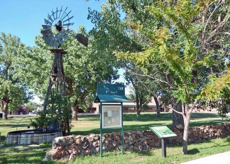
"After school, my grandmother always asked me to go get her a cold drink of water from the well on the courthouse square. I'd take a little lard pail, climb over the rock wall and get her water."
—I.D. Edwards
Erected by Montana State University, Powder River Extension.
Topics and series. This historical marker is listed in these topic lists: Charity & Public Work • Settlements & Settlers. In addition, it is included in the Works Progress Administration (WPA) projects series list.
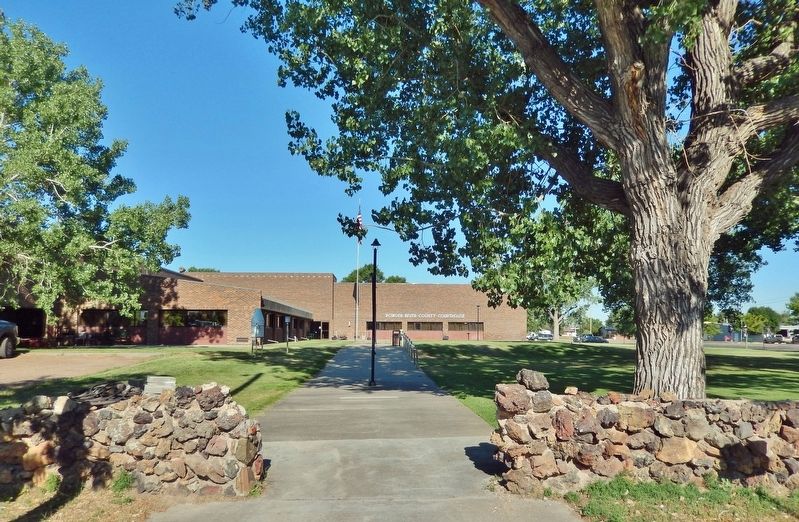
Location. 45° 26.617′ N, 105° 24.481′ W. Marker is in Broadus, Montana, in Powder River County. Marker is at the intersection of Holt Street (U.S. 212) and Courthouse Square, on the left when traveling east on Holt Street. Marker is located near the southwest corner of the Powder River County Courthouse grounds. Touch for map. Marker is at or near this postal address: 1 Courthouse Square, Broadus MT 59317, United States of America. Touch for directions.
Other nearby markers. At least 6 other markers are within 2 miles of this marker, measured as the crow flies. Let 'er Buck (within shouting distance of this marker); Southeastern Montana (approx. ¼ mile away); The Powder River Country (approx. 1.6 miles away); Big Sky Country (approx. 1.6 miles away); The Hell Creek Formation (approx. 1.6 miles away); a different marker also named Southeastern Montana (approx. 1.7 miles away).
Also see . . .
1. Broadus, Montana Picture Tour.
Broadus is named after a rancher linked to Powder River County’s early cowboy days. After working as a cowboy for the N-Bar Ranch in Texas, Oscar Broaddus came to Montana in 1885 to work for the operation’s northern property along the Powder River where thousands of cattle would graze. A slip of a bureaucrat’s pen probably dropped one “d” from the official post office name. The expansion of the Homestead Act in 1909 to include land suitable for dry-land farming opened up more land in Eastern Montana, bringing in more homesteaders.(Submitted on August 3, 2022, by Cosmos Mariner of Cape Canaveral, Florida.)
2. Broadus, Montana.
Much of the population of this small community is involved in agriculture and ranching, although passing tourist trade helps to sustain the local economy. The town today functions as both the county seat and its major business hub, and while there are other nearby small communities, Broadus is the only incorporated town in Powder River County and is also home to around one-third of its residents.(Submitted on August 3, 2022, by Cosmos Mariner of Cape Canaveral, Florida.)
Credits. This page was last revised on August 3, 2022. It was originally submitted on August 3, 2022, by Cosmos Mariner of Cape Canaveral, Florida. This page has been viewed 144 times since then and 32 times this year. Photos: 1, 2, 3, 4, 5, 6, 7. submitted on August 3, 2022, by Cosmos Mariner of Cape Canaveral, Florida.
