San Carlos in San Mateo County, California — The American West (Pacific Coastal)
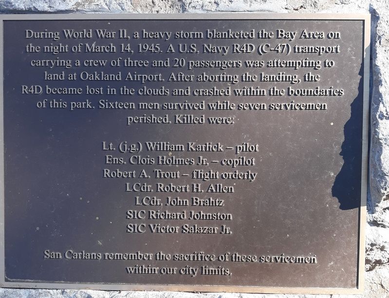
Navy R4D (C-47) Crash
L.T.(j.g.) William Karlick - Pilot • Ens. Clois Holmes, Jr. - Co-pilot • Robert A. Trout - Flight orderly • LCdr. Robert H. Allen • LCdr. John Brahtz • SIC Richard Johnston • SIC Victor Salazar, Jr.
San Carlans remember the sacrifice of these servicemen within our city limits.
Erected 2022 by City of San Carlos Parks and Recreation Department.
Topics. This historical marker is listed in this topic list: Military. A significant historical date for this entry is March 14, 1945.
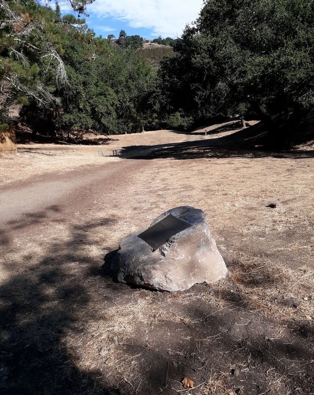
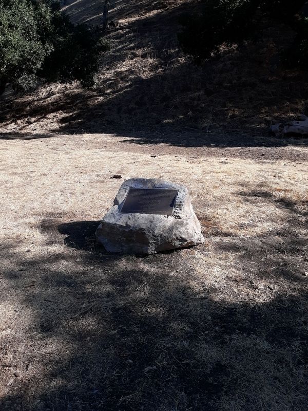
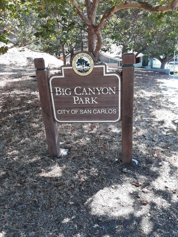
Location. 37° 29.083′ N, 122° 16.897′ W. Marker is in San Carlos, California, in San Mateo County. Marker is on Brittan Avenue west of Alameda de las Pulgas, on the right when traveling west. The marker is mounted on a rock at the Brittan Avenue entrance to the hiking trail at Big Canyon Park. Touch for map. Marker is at or near this postal address: 3190 Brittan Avenue, San Carlos CA 94070, United States of America. Touch for directions.
Other nearby markers. At least 8 other markers are within 2 miles of this marker, measured as the crow flies. City of San Carlos Veterans Memorial (approx. 0.8 miles away); Ralph D. Percival Memorial (approx. one mile away); Town of West Union (approx. 1.8 miles away); Gaspar de Portolá Expedition Campsite (approx. 1.8 miles away); Filoli (approx. 1.8 miles away); A Monument to Water (approx. 1.9 miles away); San Carlos Station (approx. 2 miles away); San Carlos Depot (approx. 2 miles away). Touch for a list and map of all markers in San Carlos.
Also see . . .
1. Remembering the 1945 Navy Plane Crash. (Submitted on August 3, 2022.)
2. Crash Information. (Submitted on August 3, 2022.)
Credits. This page was last revised on August 27, 2023. It was originally submitted on August 3, 2022, by Syd Whittle of Mesa, Arizona. This page has been viewed 158 times since then and 35 times this year. Photos: 1, 2, 3. submitted on August 3, 2022, by Syd Whittle of Mesa, Arizona. 4. submitted on August 4, 2022, by Syd Whittle of Mesa, Arizona.


