Weesp in Amsterdam, North Holland, Netherlands — Northwestern Europe
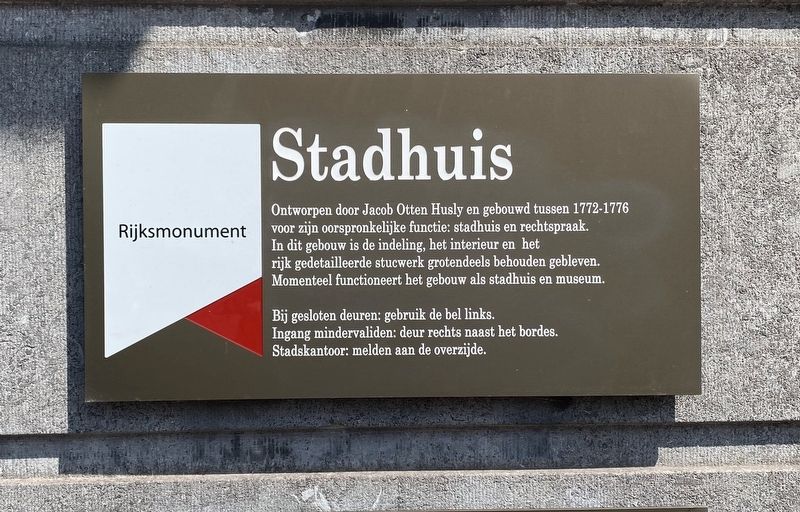
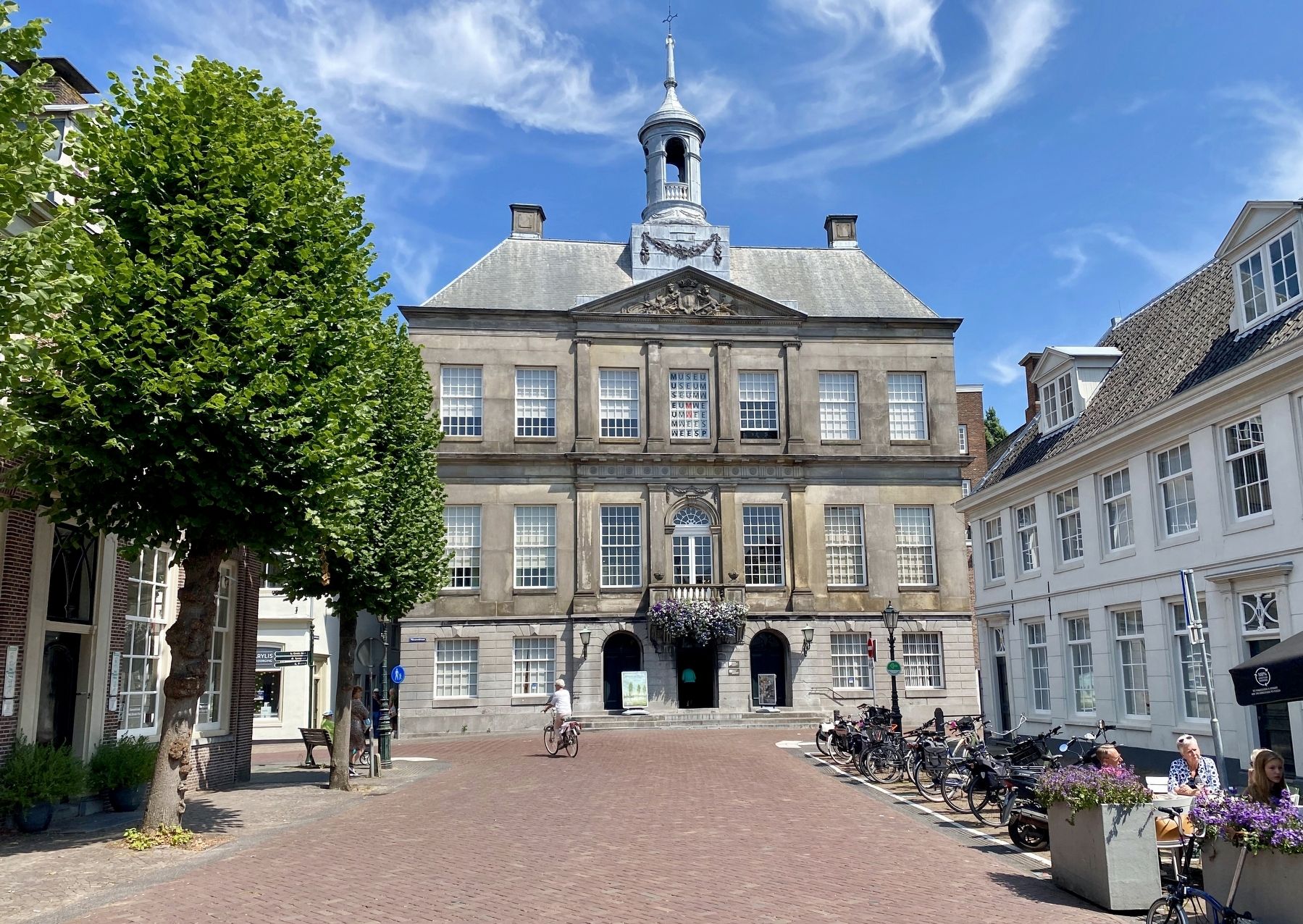
Stadhuis / City Hall
Rijksmonument
Bij gesloten deuren: gebruik de bel links.
Ingang mindervaliden: deur rechts naast het bordes.
Stadskantoor: melden aan de overzijde.
Designed by Jacob Otten Husly and built between 1772-1776. Designated a National Monument for its original functions: town hall and justice. In this building, the layout, the interior and the richly detailed stucco work has largely been preserved. The building currently functions as a town hall and museum.
When the doors are closed: use the bell on the left.
Disabled entrance: door to the right next to the platform.
City office: report on the other side.
Topics. This historical marker is listed in this topic list: Government & Politics.
Location. 52° 18.405′ N, 5° 2.562′ E. Marker is in Weesp, Noord-Holland (North Holland), in Amsterdam. Marker is at the intersection of Nieuwstraat and Het Grote Plein, on the right when traveling north on Nieuwstraat. Touch for map. Marker is at or near this postal address: Nieuwstraat 41, Weesp, Noord-Holland 1381 XM, Netherlands. Touch for directions.
Other nearby markers. At least 8 other markers are within 6 kilometers of this marker, measured as the crow flies. Weesp Jewish Deportation Memorial (about 150 meters away, measured in a direct line); Fort aan de Ossenmarkt (approx. 0.3 kilometers away); Bastion de Nieuwe Achtkant (approx. 0.4 kilometers away); Soldaat en Geschut / Soldiers and Artillery (approx. 0.4 kilometers away); Annie Romein (approx. 5.2 kilometers away); Harriët Freezer (approx. 5.3 kilometers away); Nana Yaa Adu-Ampoma (approx. 5.3 kilometers away); Efua Sutherland (approx. 5.4 kilometers away). Touch for a list and map of all markers in Weesp.
Credits. This page was last revised on December 31, 2023. It was originally submitted on August 3, 2022, by Andrew Ruppenstein of Lamorinda, California. This page has been viewed 42 times since then and 8 times this year. Photos: 1, 2. submitted on August 3, 2022, by Andrew Ruppenstein of Lamorinda, California.

