Naarden in Gooise Meren, North Holland, Netherlands — Northwestern Europe
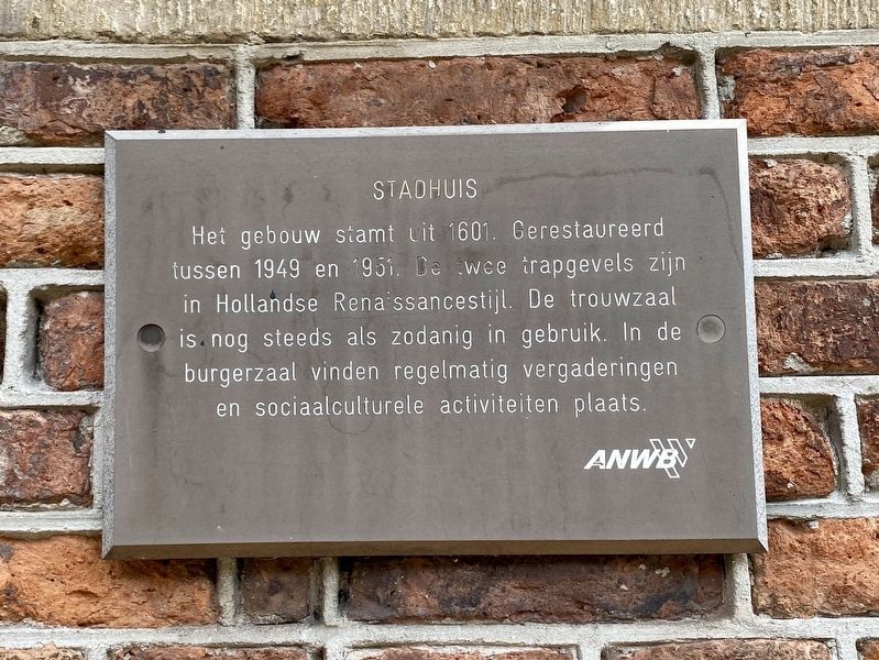
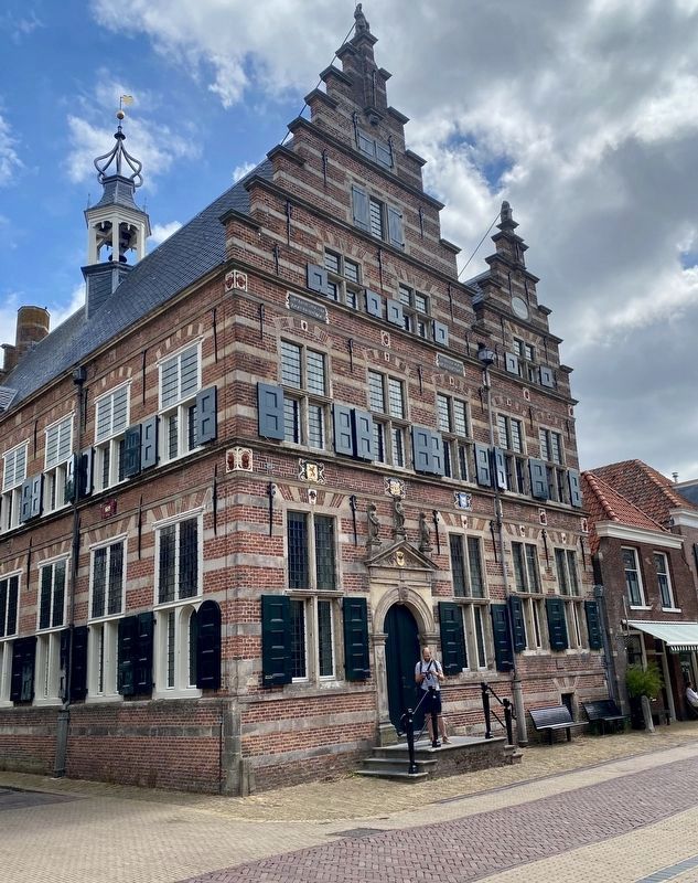
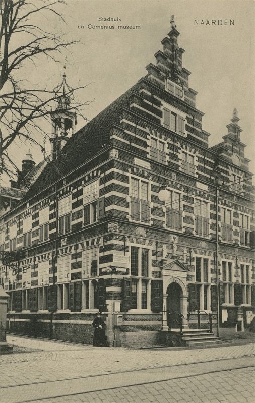
Stadhuis / City Hall
The building dates from 1601. Restored between 1949 and 1951. The two stepped gables are in the Dutch Renaissance style. The wedding hall is still in use as such. In the civic hall regular meetings and sociocultural activities still take place.
Erected by The ANWB.
Topics. This historical marker is listed in this topic list: Government & Politics. A significant historical year for this entry is 1601.
Location. 52° 17.743′ N, 5° 9.82′ E. Marker is in Naarden, Noord-Holland (North Holland), in Gooise Meren. Marker is at the intersection of Marktstraat and Sint Annastraat, on the right when traveling west on Marktstraat. Touch for map. Marker is at or near this postal address: Marktstraat 5, Naarden, Noord-Holland 1411 RN, Netherlands. Touch for directions.
Other nearby markers. At least 8 other markers are within walking distance of this marker. Replica van Stadspomp / City Water Pump Replica (a few steps from this marker); Oude Stadehuis / Old City Hall - Marktstraat 22 Naarden (within shouting distance of this marker); Kogel / Cannonball (about 90 meters away, measured in a direct line); Het Spaanse Huis / The Spanish House (about 150 meters away); De Utrechtse Poort / The Utrecht Gate (about 150 meters away); Fluweelwerkers en Zijdeweverbus / Velvet Workers and Silk Weavers Assistance Fund (about 150 meters away); Weeshuiskazerne / Orphanage Barracks (about 180 meters away); De Promerskazerne / Promers Barracks (about 180 meters away). Touch for a list and map of all markers in Naarden.
Credits. This page was last revised on December 31, 2023. It was originally submitted on August 4, 2022, by Andrew Ruppenstein of Lamorinda, California. This page has been viewed 50 times since then and 9 times this year. Photos: 1, 2, 3. submitted on August 4, 2022, by Andrew Ruppenstein of Lamorinda, California.


