Middlefield in Trumbull County, Ohio — The American Midwest (Great Lakes)
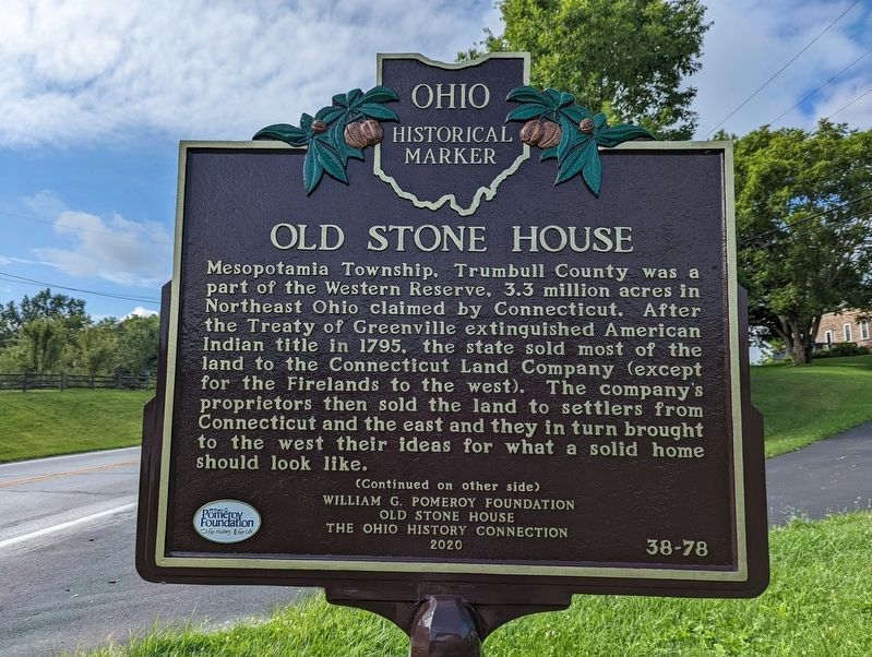
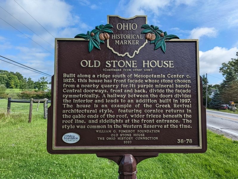
Old Stone House
Mesopotamia Township, Trumbull County was a part of the Western Reserve, 3.3 million acres in Northeast Ohio claimed by Connecticut. After the Treaty of Greenville extinguished American Indian title in 1795, the state sold most of the land to the Connecticut Land Company (except for the Firelands to the west). The company's proprietors then sold the land to settlers from Connecticut and the east and they in turn brought to the west their ideas for what a solid home should look like.
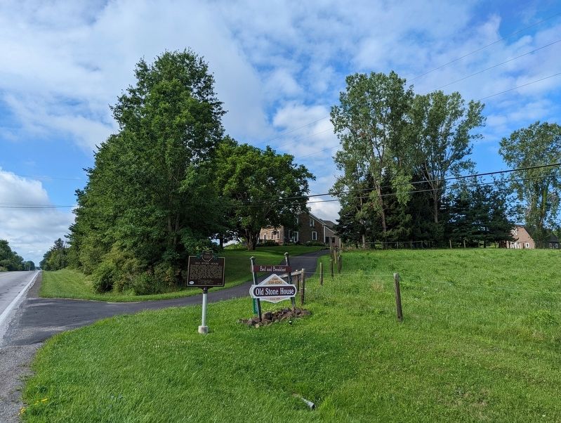
Built along a ridge south of Mesopotamia Center c. 1825, this house has front facade whose stone chosen from a nearby quarry for its purple mineral bands. Central doorways, front and back, divide the facade symmetrically. A hallway between the doors divides the interior and leads to an addition built in 1997. The house is an example of the Greek Revival architectural style, featuring cornice returns in the gable ends of the roof, wider frieze beneath the roof line, and sidelights at the front entrance. The style was common in the Western Reserve at the time.
Erected 2020 by William G. Pomeroy Foundation; Old Stone House; Ohio History Connection. (Marker Number 38-78.)
Topics and series. This historical marker is listed in this topic list: Notable Buildings . In addition, it is included in the Ohio Historical Society / The Ohio History Connection series list. A significant historical year for this entry is 1795.
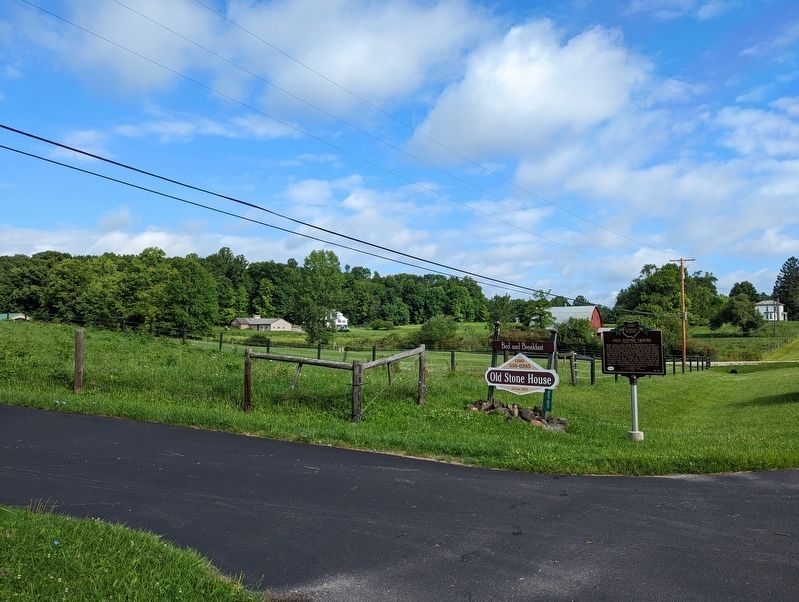
Location. 41° 27.202′ N, 80° 57.295′ W. Marker is in Middlefield, Ohio, in Trumbull County. Marker is on Phelps Creek Road (Ohio Route 534) 0.4 miles south of Kinsman Road NW (Ohio Route 87), on the right when traveling south. Touch for map. Marker is in this post office area: Mesopotamia OH 44439, United States of America. Touch for directions.
Other nearby markers. At least 8 other markers are within 7 miles of this marker, measured as the crow flies. Bloomfield Township Commons (approx. 4˝ miles away); Prehistoric Earthworks / The Prehistoric Erie (approx. 5.2 miles away); Christ Church Episcopal (approx. 5.7 miles away); Middlefield (approx. 6.1 miles away); Batavia House (approx. 6.1 miles away); Ohio's First Civil War Monument (approx. 6.4 miles away); Honor Roll (approx. 6.4 miles away); Bristol Public Library (approx. 6.4 miles away). Touch for a list and map of all markers in Middlefield.
Credits. This page was last revised on June 21, 2023. It was originally submitted on August 6, 2022, by Mike Wintermantel of Pittsburgh, Pennsylvania. This page has been viewed 168 times since then and 35 times this year. Last updated on June 7, 2023, by Grant & Mary Ann Fish of Galloway, Ohio. Photos: 1, 2, 3, 4. submitted on August 6, 2022, by Mike Wintermantel of Pittsburgh, Pennsylvania. • Devry Becker Jones was the editor who published this page.


