Lake Fremont Township near Dunnel in Martin County, Minnesota — The American Midwest (Upper Plains)
De Soto
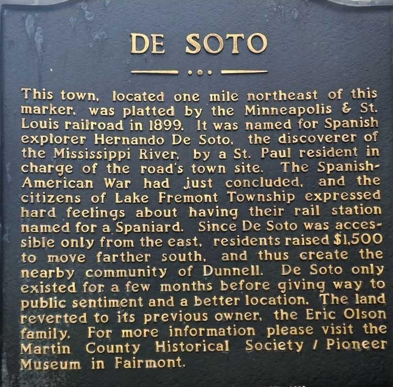
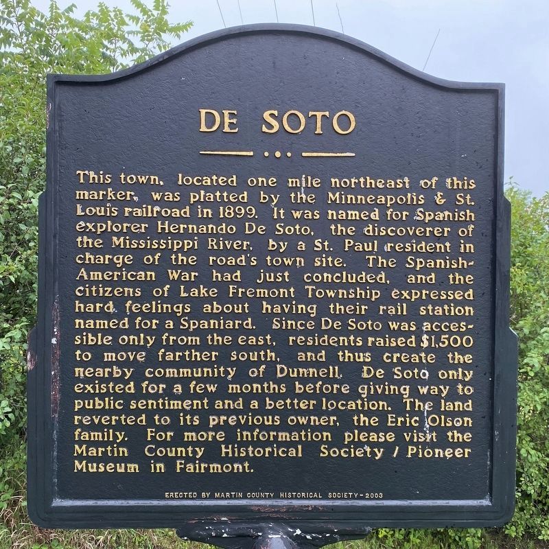
This town, located one mile northeast of this marker, was platted by the Minneapolis & St. Louis railroad in 1899. It was named for Spanish explorer Hernando De Soto, the discoverer of the Mississippi River, by a St. Paul resident in charge of the road's town site. The Spanish-American War had just concluded, and the citizens of Lake Fremont Township expressed hard feelings about having their rail station named for a Spaniard. Since De Soto was accessible only from the east, residents raised $1,500 to move farther south, and thus create the nearby community of Dunnell. De Soto only existed for a few months before giving way to public sentiment and a better location. The land reverted to its previous owner, the Eric Olson family. For more information please visit the Martin County Historical Society / Pioneer Museum in Fairmont.
Erected 2003 by Martin County Historical Society.
Topics. This historical marker is listed in this topic list: Settlements & Settlers. A significant historical year for this entry is 1899.
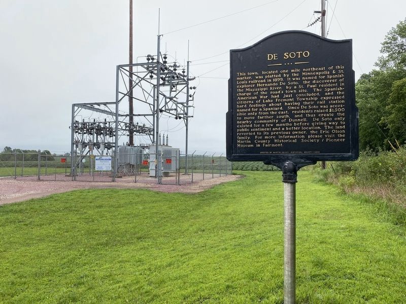
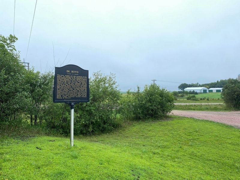
Location. 43° 34.857′ N, 94° 46.447′ W. Marker is near Dunnel, Minnesota, in Martin County. It is in Lake Fremont Township. Marker can be reached from 50th Avenue (State Highway 4) half a mile north of 60th Street, on the right when traveling north. Touch for map. Marker is in this post office area: Dunnell MN 56127, United States of America. Touch for directions.
Other nearby markers. At least 8 other markers are within 13 miles of this marker, measured as the crow flies. Lone Cedar (approx. 4.8 miles away); Manyaska (approx. 7˝ miles away); State Line Congregation (approx. 9.4 miles away in Iowa); Tenhassen (approx. 10 miles away); The Estherville Meteorite (approx. 10.1 miles away in Iowa); Okamanpadu Lake (approx. 11˝ miles away in Iowa); Fort Defiance (approx. 12.7 miles away in Iowa); First Bell Used by the Estherville Fire Department (approx. 12.7 miles away in Iowa).
Credits. This page was last revised on August 19, 2023. It was originally submitted on August 13, 2022, by Daniel Taylor II of Sherburn, Minnesota. This page has been viewed 128 times since then and 41 times this year. Photos: 1. submitted on August 13, 2022, by Daniel Taylor II of Sherburn, Minnesota. 2, 3, 4. submitted on August 15, 2023. • J. Makali Bruton was the editor who published this page.


