Near Silver Bay in Lake County, Minnesota — The American Midwest (Upper Plains)
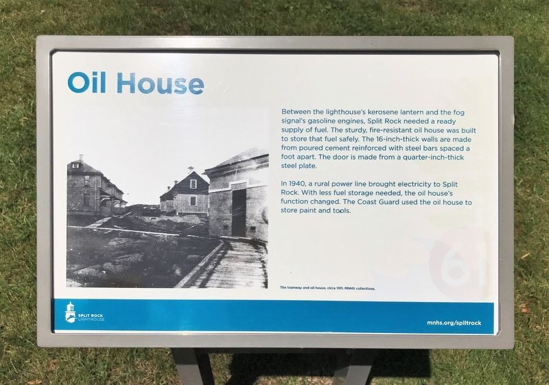
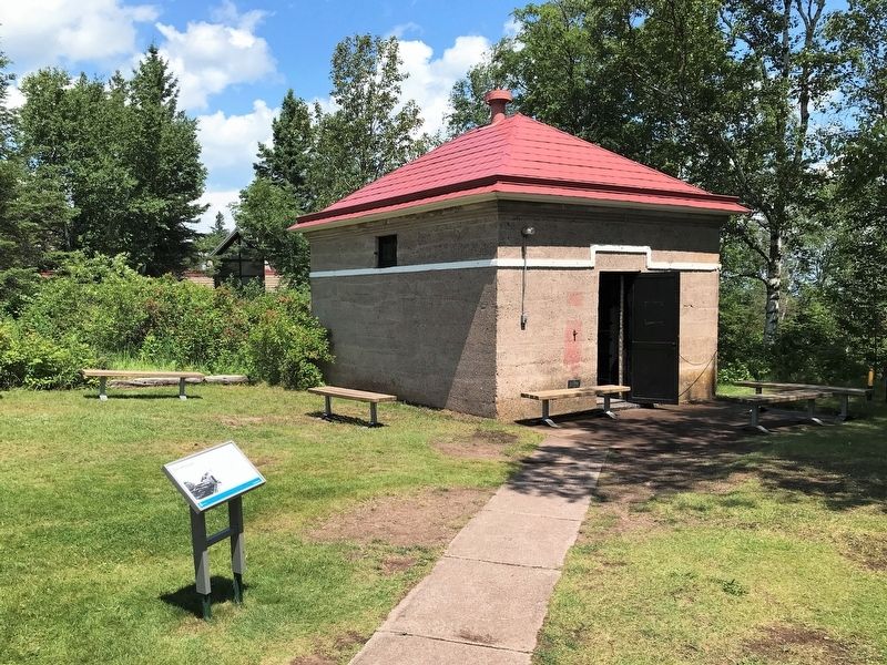
Oil House
— Split Rock Lighthouse —
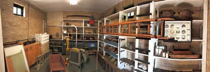
In 1940, a rural power line brought electricity to Split Rock. With less fuel storage needed, the oil house's function changed. The Coast Guard used the oil house to store paint and tools.
The tramway and oil house, circa 1911. MNHS collections.
Erected by Minnesota Historical Society.
Topics. This historical marker is listed in this topic list: Communications. A significant historical year for this entry is 1940.
Location. 47° 12.02′ N, 91° 22.013′ W. Marker is near Silver Bay, Minnesota, in Lake County. Marker can be reached from Split Rock Lighthouse Road, half a mile south of North Shore Scenic Drive (State Highway 61). Located at the Split Rock Lighthouse Historic Site. Touch for map. Marker is at or near this postal address: 3713 Split Rock Lighthouse Rd, Two Harbors MN 55616, United States of America. Touch for directions.
Other nearby markers. At least 8 other markers are within walking distance of this marker. Lighthouse (a few steps from this marker); Fog Signal (a few steps from this marker); Home Away From Home (a few steps from this marker); Storage Barn (within shouting distance of this marker); Steam Engine Hoist (within shouting distance of this marker); The Gales of November (within shouting distance of this marker); Geology of the Split Rock Region (within shouting distance of this marker); Anchor of the Madeira (about 300 feet away, measured in a direct line). Touch for a list and map of all markers in Silver Bay.
Also see . . . Split Rock Lighthouse. (Submitted on August 13, 2022.)
Credits. This page was last revised on August 14, 2022. It was originally submitted on August 13, 2022. This page has been viewed 86 times since then and 12 times this year. Photos: 1, 2, 3. submitted on August 13, 2022.


