Cumberland in Allegany County, Maryland — The American Northeast (Mid-Atlantic)
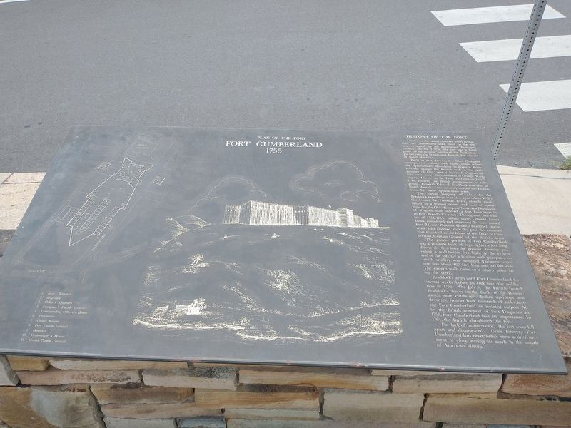
Plan Of The Fort
Fort Cumberland
— 1755 —
Little does the casual observer today realize that Fort Cumberland once stood on the site now occupied by the Emmanuel Episcopal Church. In the 1750's, this fort was a focal point for the opening battles of the final struggle between the British and French for control of North America.
Early in that decade, the Ohio Company attempted to enforce their land claims across the Appalachian Mountains in Western Pennsylvania against the French and, in the early summer of 1754, sent a force of Virginia militia west under the command of George Washington, His defeat at Fort Necessity on July 3, 1754, spurred the British government to take action. General Edward Braddock was sent to North America with an army to oust the French from the trans- Appalachian west.
The logical jumping-off place for the Braddock expedition was at a spot where Will's Creek met the Potomac River, already established as a trading center and base of operations for the Ohio Company Governor Dinwiddie of Virginia now ordered a fort built there to receive Braddock's army. Throughout the winter of 1754-1755, militia under Colonel James Innes completed and improved the fort, named Fort Mount Pleasant. General Braddock mean while had ordered that the post be renamed Fort Cumberland in honor of the Duke of Cumberland, Captain General of the British Army.
The greater portion of Fort Cumberland was a palisade built of logs eighteen feet long. driven six feet into the ground, thereby providing a wall twelve feet high. At the western end of the fort lay a bastion with parapets, on which artillery was mounted. The entire structure was about 400 feet long and 160 feet wide The eastern walls came to a sharp point facing the creek.
Braddock's army used Fort Cumberland for several weeks before its trek into the wilderness in 1755. On July 9, the French routed Braddock's forces in the Battle of the Monongahela near Pittsburgh. Indian uprisings now drove the frontier back hundreds of miles, leaving Fort Cumberland an isolated outpost. After the British conquest of Fort Duquesne in 1758, Fort Cumberland lost its importance. In 1764, the British abandoned the fort.
For lack of maintenance, the fort soon fell apart and disappeared. Gone forever, Fort Cumberland had nevertheless seen a brief moment of glory, leaving its mark in the annals of American history.
Topics. This historical marker is listed in this topic list: Forts and Castles. A significant historical date for this entry is July 3, 1754.
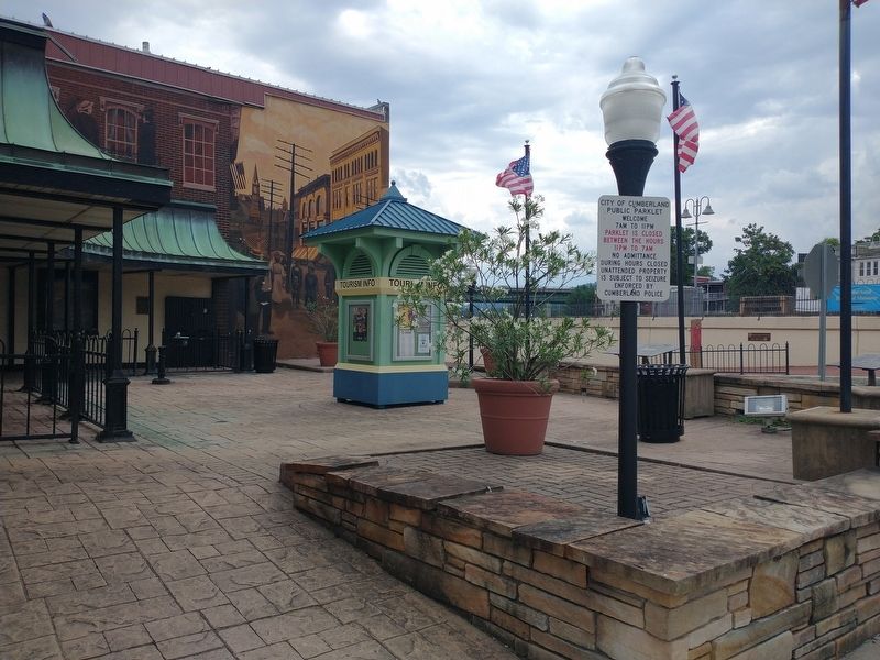
Location. 39° 39.053′ N, 78° 45.814′ W. Marker is in Cumberland, Maryland, in Allegany County. Marker is at the intersection of Baltimore Street and Canal Street, on the right when traveling east on Baltimore Street. Touch for map. Marker is at or near this postal address: 15 Baltimore St, Cumberland MD 21502, United States of America. Touch for directions.
Other nearby markers. At least 8 other markers are within walking distance of this marker. The Narrows (here, next to this marker); Baltimore Street (here, next to this marker); Heritage Park (a few steps from this marker); Cumberland (within shouting distance of this marker); On This Site Stood Metro Clothes (within shouting distance of this marker); Light The Steeples (within shouting distance of this marker); Crossroads of America Mural (within shouting distance of this marker); Ohio Co. and Fort Cumberland (within shouting distance of this marker). Touch for a list and map of all markers in Cumberland.
Credits. This page was last revised on August 18, 2022. It was originally submitted on August 17, 2022, by Craig Doda of Napoleon, Ohio. This page has been viewed 79 times since then and 15 times this year. Photos: 1, 2. submitted on August 17, 2022, by Craig Doda of Napoleon, Ohio. • Bill Pfingsten was the editor who published this page.

