Gatlinburg in Sevier County, Tennessee — The American South (East South Central)
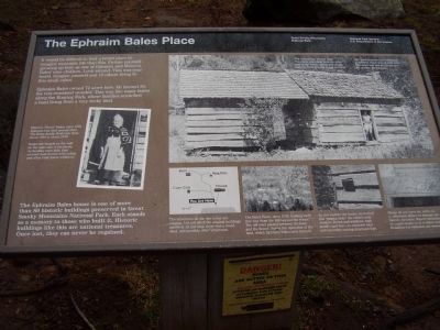
The Ephraim Bales Place
Photographed By Stanley and Terrie Howard, March 14, 2009
1. The Ephraim Bales Place Marker
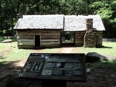
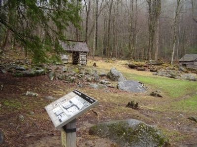
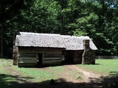
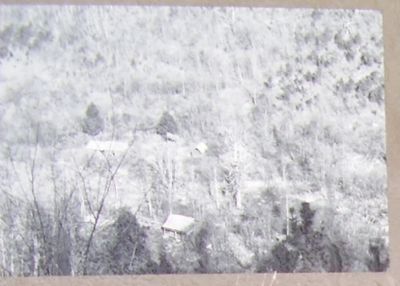
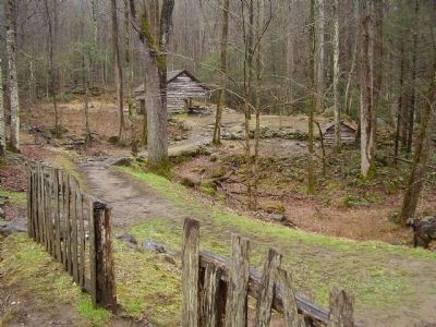
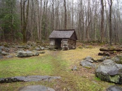
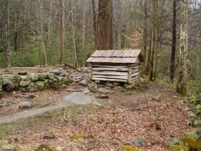
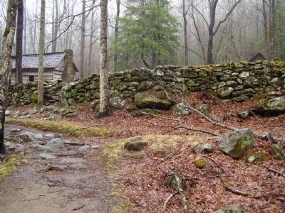
The Ephraim Bales house is one of more than 80 historic buildings preserved in Great Smoky Mountains National Park. Each stands as a memory to those who built it. Historic buildings like this are national treasures. Once lost, they can never be regained.
Erected by National Park Service U.S. Department of the Interior.
Topics. This historical marker is listed in this topic list: Settlements & Settlers.
Location. 35° 42.441′ N, 83° 28.289′ W. Marker is in Gatlinburg, Tennessee, in Sevier County. Marker can be reached from Cherokee Orchard Road. The Great Smoky Mountains Parkway Highway 73 down town Gatlinburg. Turn onto Airport Road. Airport Road becomes Cherokee Orchard Road. Touch for map. Marker is in this post office area: Gatlinburg TN 37738, United States of America. Touch for directions.
Other nearby markers. At least 8 other markers are within 3 miles of this marker, measured as the crow flies. Noah "Bud" Ogle Farm (approx. 2.1 miles away); Baskins Creek (approx. 2.3 miles away); Tsali Monument (approx. 2.4 miles away); Pi Beta Phi Fraternity Centennial Plaza / Pi Beta Phi Fraternity Settlement School (approx. 2.4 miles away); Martha Jane Ogle Cabin (approx. 2.4 miles away); Village Gate (approx. 2.4 miles away); First Methodist Church – Gatlinburg (approx. 2.6 miles away); Rocky Top (approx. 2.6 miles away). Touch for a list and map of all markers in Gatlinburg.

Photographed By Stanley and Terrie Howard, March 14, 2009
5. The Ephraim Bales Place
The Bales home around 1935. The photo was taken from the other side of the house, which historically was the front. You are facing the back.
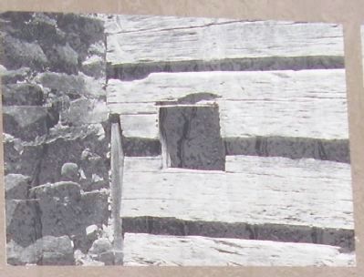
The two halves were probably built at different times around 1800-1900. The larger half was the living area the smaller, the kitchen.
The two halves were probably built at different times around 1800-1900. The larger half was the living area the smaller, the kitchen.
Photographed By Stanley and Terrie Howard, March 14, 2009
6. Minerva "Nervy" Bales
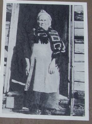
Minerva "Nervy" Bales, cirea 1930. Ephraim had died around 1926. The Bales family lived here from about 1890 to about 1930.
Notice the boards on the wall on the right side of the photo. As families were able, they covered their homes with siding and often built frame additions.
Notice the boards on the wall on the right side of the photo. As families were able, they covered their homes with siding and often built frame additions.
Credits. This page was last revised on December 17, 2019. It was originally submitted on July 1, 2009, by Stanley and Terrie Howard of Greer, South Carolina. This page has been viewed 4,342 times since then and 163 times this year. Photos: 1. submitted on July 1, 2009, by Stanley and Terrie Howard of Greer, South Carolina. 2. submitted on August 15, 2012, by Bill Coughlin of Woodland Park, New Jersey. 3. submitted on July 1, 2009, by Stanley and Terrie Howard of Greer, South Carolina. 4. submitted on August 15, 2012, by Bill Coughlin of Woodland Park, New Jersey. 5, 6, 7, 8, 9, 10, 11, 12, 13, 14, 15. submitted on July 1, 2009, by Stanley and Terrie Howard of Greer, South Carolina. • Syd Whittle was the editor who published this page.
