Frankfurt am Main, Hesse, Germany — Central Europe
Unterlindau Synagoge
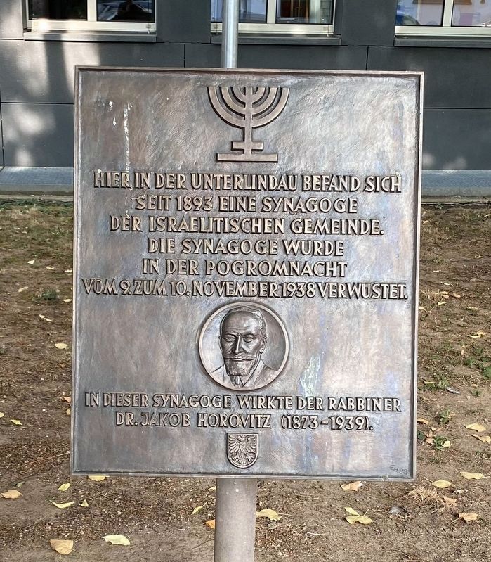
Hier in der Unterlindau befand sich seit 1893 eine Synagoge der Israelitischen Gemeinde. Die Synagoge wurde in der Pogromnacht vom 9. zum 10. November 1938 verwüstet.
In dieser Synagoge wirkte der Rabbiner Dr. Jakob Horovitz (1873-1939).
Here on Unterlindau Street there had been a Synagogue since 1893. The Synagogue was destroyed in the Pogrom of the night of November 9-10, 1938 (aka Kristalnacht or Night of Broken Glass).
The Rabbi Dr. Jakob Horovitz (1873-1939) worked here.
Topics and series. This historical marker is listed in this topic list: Churches & Religion. In addition, it is included in the The Holocaust series list. A significant historical date for this entry is November 10, 1938.
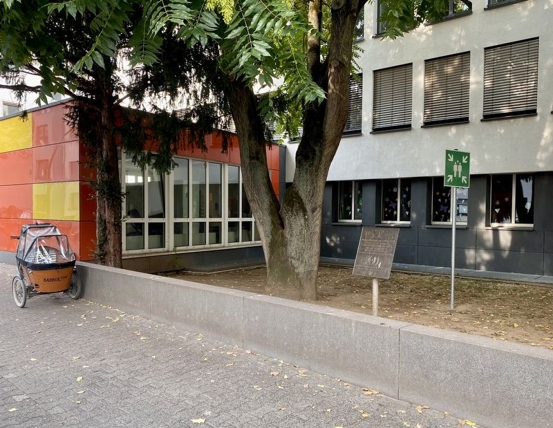
Location. 50° 7.098′ N, 8° 40.082′ E. Marker is in Frankfurt am Main, Hessen (Hesse). Marker is on Unterlindau, on the left when traveling north. Touch for map. Marker is at or near this postal address: Unterlindau 29, Frankfurt am Main HE 60323, Germany. Touch for directions.
Other nearby markers. At least 8 other markers are within walking distance of this marker. Elisabeth Schumacher (approx. 0.4 kilometers away); Alte Oper / The Old Opera House (approx. 0.4 kilometers away); George C. Marshall and the Marshall Plan (approx. half a kilometer away); Otto von Bismarck-Schönhausen, Dr. Heinrich Hoffmann (approx. half a kilometer away); Ehemalige Gestapozentrale / Former Gestapo Headquarters (approx. half a kilometer away); Guiollettstrasse 62: Das Britische Konsulat / The British Consulate (approx. 0.6 kilometers away); Horst Lippmann (approx. 0.6 kilometers away); Dr. Heinrich Hoffman (approx. 0.7 kilometers away). Touch for a list and map of all markers in Frankfurt am Main.
Also see . . . Lindauer Synagoge (Kunst im Öffentlich Raum Frankfurt). A short history of the Synagogue, in German. (Submitted on August 27, 2022, by Andrew Ruppenstein of Lamorinda, California.)
Credits. This page was last revised on August 27, 2022. It was originally submitted on August 27, 2022, by Andrew Ruppenstein of Lamorinda, California. This page has been viewed 66 times since then and 7 times this year. Photos: 1, 2. submitted on August 27, 2022, by Andrew Ruppenstein of Lamorinda, California.

