Near Sandstone in Pine County, Minnesota — The American Midwest (Upper Plains)
Crushing Stone
Discover the Banning Quarry
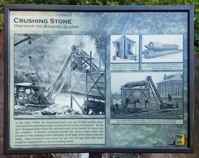
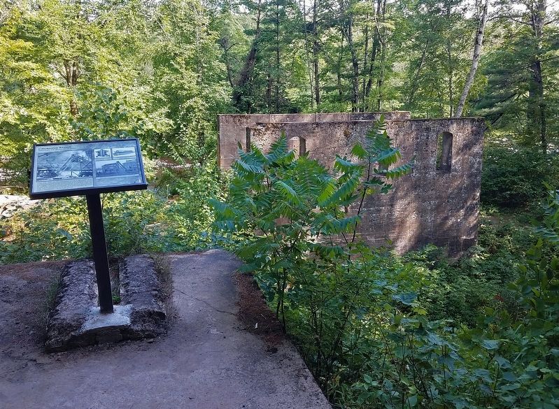
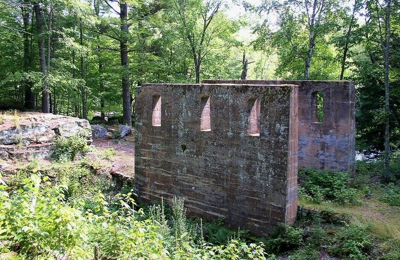
In the early 1900s, the Banning quarry ran out of high quality stone and turned to manufacturing crushed stone to stay in business. Rocks were dumped down from the railroad track to be loaded by hand into the crusher. A bucket conveyor carried the stones from under the crusher to the sorting screen and bins, built high above these concrete walls. Once screened and sorted by size into storage bins, the stone could be emptied into a rail car waiting below.
Captions:
This crusher is from the same time period as the Banning quarry.
A pillar in the crusher compressed the stone, shattering it into fragments which dropped out of the bottom.
A rotary screen may have been used here. Rotation and gravity sifted the stones through sized holes into bins below.
This crushing plant shows the sequence: crusher, conveyor, sorting screens, bins, loading chutes. The Banning crushing plant was much larger than this example.
Erected by Minnesota Department of Natural Resources.
Topics. This historical marker is listed in this topic list: Industry & Commerce.
Location. 46° 9.622′ N, 92° 50.772′ W. Marker is near Sandstone, Minnesota, in Pine County. The marker is in Banning State Park (vehicle permit required). The marker is on the Quarry Loop Trail overlooking the crusher ruins. Touch for map. Marker is at or near this postal address: 61101 Banning Park Road, Sandstone MN 55072, United States of America. Touch for directions.
Other nearby markers. At least 8 other markers are within 11 miles of this marker, measured as the crow flies. Power (within shouting distance of this marker); A Railroad Industry (about 300 feet away, measured in a direct line); Sawing Slabs (approx. 0.2 miles away); Forming Blocks (approx. 0.3 miles away); Sandstone Area Veterans Memorial (approx. 2.2 miles away); Lumbering in Minnesota (approx. 3˝ miles away); The Hinckley Fire (approx. 10.7 miles away); The Great Hinckley Fire (approx. 11 miles away). Touch for a list and map of all markers in Sandstone.
Credits. This page was last revised on September 7, 2022. It was originally submitted on August 28, 2022, by McGhiever of Minneapolis, Minnesota. This page has been viewed 98 times since then and 26 times this year. Photos: 1, 2, 3. submitted on August 28, 2022, by McGhiever of Minneapolis, Minnesota. • J. Makali Bruton was the editor who published this page.


