Corpus Christi in Nueces County, Texas — The American South (West South Central)
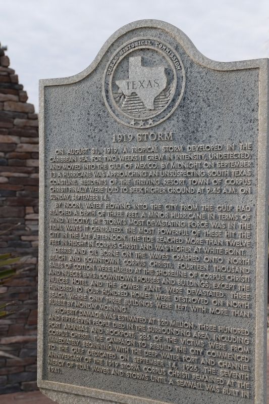
1919 Storm
On August 31, 1919, a tropical storm developed in the Caribbean Sea. For two weeks it grew in intensity, undetected, and moved into the Gulf of Mexico. By midnight on September 13 a hurricane was approaching an unsuspecting South Texas coastline. Residents of the thriving resort town of Corpus Christi finally were told to seek higher ground at 9:45 am on Sunday, September 14.
By noon, water flowing into the city from the gulf had reached a depth of three feet. A minor hurricane in terms of wind velocity, the storm's most devastating force was in the tidal waves it generated the most powerful of these hit the city in the late afternoon. The tide reached more than twelve feet in height in Corpus Christi and was higher at White Point.
Debris and oil borne on the waves crashed onto North Beach and downtown Corpus Christi. Fourteen thousand bales of cotton were hurled at the shoreline of Corpus Christi and Nueces Bays. Downtown houses and buildings, except the Nueces Hotel and the power plant, were devastated. Three hundred to four hundred homes were destroyed on North Beach, where only three buildings were left with more than rubble by Monday morning.
Property damage was estimated at $20 million. Three hundred and fifty-seven people died in the surrounding area, including Port Aransas and Rockport; 286 of the victims were from Corpus Christi. The campaign to rebuild the city commenced immediately, beginning with the deep water port and channel to the Gulf dedicated on September 14, 1926, the seventh anniversary of the 1919 storm Corpus Christi remained at the mercy of tidal waves and storms until a seawall was built in 1941.
Erected 1998 by Texas Historical Commission. (Marker Number 12126.)
Topics. This historical marker is listed in this topic list: Disasters. A significant historical date for this entry is September 14, 1919.
Location. 27° 49.369′ N, 97° 23.304′ W. Marker is in Corpus Christi, Texas, in Nueces County. Marker is at the intersection of Breaker Avenue and Surfside Boulevard, on the left when traveling south on Breaker Avenue. Touch for map. Marker is in this post office area: Corpus Christi TX 78402, United States of America. Touch for directions.
Other nearby markers. At least 8 other markers are within 2 miles of this marker, measured as the crow flies. USS Lexington CV-16 (approx. half a mile away); Rising Sun (approx. half a mile away); Kamikaze (approx. half a mile away); Nueces County (approx. 0.9 miles away); Corpus Christi Longshoremen's Unions (approx. 1.1 miles away); Julius Lichtenstein House (approx. 1.2 miles away); Sidbury House (approx. 1.2 miles away); Simon Gugenheim House (approx. 1.2 miles away). Touch for a list and map of all markers in Corpus Christi.
Credits. This page was last revised on September 7, 2022. It was originally submitted on August 29, 2022, by Dave W of Co, Colorado. This page has been viewed 197 times since then and 24 times this year. Photo 1. submitted on August 29, 2022, by Dave W of Co, Colorado. • J. Makali Bruton was the editor who published this page.
Editor’s want-list for this marker. A wide view photo of the marker and the surrounding area together in context. • Can you help?
