Erin in Houston County, Tennessee — The American South (East South Central)
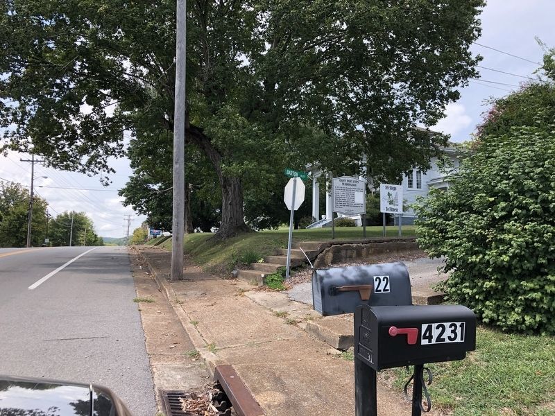
Eighty Eight Steps to Knowledge
Inscription.
In 1911 the Erin Elementary/High School was constructed high upon hill above. These steps were constructed to provide a safe access to the school. Before busses were mechanically able to go up and down the winding gravel road, all students and teachers walked these steps daily. They were used until 1958 when a new High School was constructed on West Main Street.
Erected by Leadership Class 2006.
Topics. This historical marker is listed in this topic list: Education. A significant historical year for this entry is 1911.
Location. 36° 18.978′ N, 87° 42.14′ W. Marker is in Erin, Tennessee, in Houston County. Marker is at the intersection of West Main Street (Tennessee Route 49) and Barton Alley, on the right when traveling west on West Main Street. Touch for map. Marker is at or near this postal address: 4233 W Main St, Erin TN 37061, United States of America. Touch for directions.
Other nearby markers. At least 8 other markers are within 14 miles of this marker, measured as the crow flies. The Quarry Lime Kiln (approx. half a mile away); The Limekilns (approx. 0.7 miles away); The Wells Creek Basin (approx. 4 miles away); Lyon's Raid (approx. 6.3 miles away); Stewart Station (approx. 7.6 miles away); Lewis/Lyle House (approx. 9.2 miles away); Bear Spring Furnace (approx. 11.4 miles away); Withdrawal From Donelson (approx. 13.6 miles away). Touch for a list and map of all markers in Erin.
Regarding Eighty Eight Steps to Knowledge. The steps have been restored and are now used as the "Eighty Eight Steps to Fitness."
Credits. This page was last revised on September 5, 2022. It was originally submitted on September 5, 2022, by Duane and Tracy Marsteller of Murfreesboro, Tennessee. This page has been viewed 130 times since then and 17 times this year. Photos: 1, 2. submitted on September 5, 2022, by Duane and Tracy Marsteller of Murfreesboro, Tennessee.

