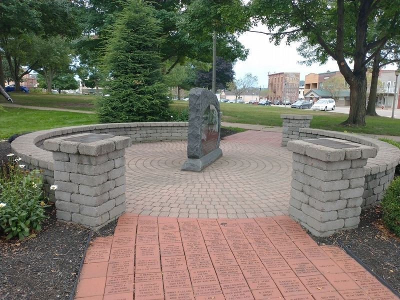
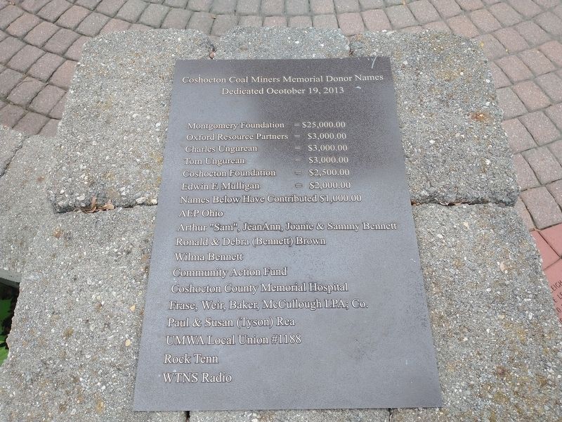
Coshocton in Coshocton County, Ohio — The American Midwest (Great Lakes)
Coshocton County Coal Mining
Coshocton County lies in the great bituminous coal field. In 1820 early pioneers removed layers of soil and removed coal near the surface, chiefly for home use to light and heat their homes.
1833 - Hardscrabble Mine east of town was the earliest mine. John G. Stewart owned the land.
1835 - Morris Burt also opened a coal bank near tis location as well as Jack Robson, Elisha Turner, Thomas Thornsley and Fought Burt.
1861 - First mine producing a sizeable amount of coal was in Beech Hollow, east of town on the Joseph K. Johnson farm. 1872 - Mathias Shoemaker opened another mine east of town.
Coke burning was known before the Civil War when John McCleary opened a mine at Rock Run south of town.
Wade Coal was the producer of coal. Morgan Run Mining built a branch railroad to move the coal as a demand for coal increased.
1884 - Largest profitable mine in the county near Conesville was opened by David Davis, John Cassingham, and D.M. Moore. 1885 - Mr. Davis bought their interest. He knew the hills were full of coal and he now owned them.
During the many early years of coal mining in the surrounding area of Coshocton County, men were severely injured or met with a tragic death, leaving an empty chair in the homes of their families.
1936 - 235 abandoned mines in the county were sealed using brick, concrete, tile, and timbers, and all other mines soon met the same demise.
1957 - Peabody Coal Company constructed "Big Chief" a large coal shovel near Conesville, Ohio, and also the "Peabody Broken Aro" dragline in the western part of the country.
1958 - Simco Inc. was formed by Columbus Southern Power Company in Columbus, Ohio. Simco Inc. owned the land and coal mineral rights to the land s they mined. Simco Inc. purchased and repaired all the equipment, paid for all the materials, etc. to produce the "Black Gold". Peabody Coal Company supplied the work force and the supervision to mine the coal from the Surface and Underground Mines. Simco Inc. owned Two-Thirds of the Company, Peabody Coal Company owned One-Thired of the Company.
1958 - Simco Peabody opened six underground mines east of Coshocton.
1969 - "Big Muskie" the largest walking dragline, 22 stories tall with a coal bucket 51 1/2 ft. wide, owned by Central Ohio Coal Company, a division of American Electric Power, was constructed.
Test drillers, a team of horses, dozier operators, and engineers worked in the eastern and western parts of the county ahead of the "Big Chief", "Peabody Broken Aro", and "Big Muskie" Shovels.
Due to a depression for demand of high-sulfer Ohio coal, the three shovels were retired in the early 1990s. "Big Muskie" was dismantled o scrap metal, except for the coal bucket it was reserved and moved to a memorial site near McConnelsville, Ohio. "Big Chief" was dismantled to scrap metal and the "Peabody Broken Aro" shovel was shipped by rail to replace one that had sunk in the muck at the Peabody Coal Company mine in Muhlenberg County, Kentucky.
Peabody Coal Company's coal stripping and deep mining in Coshocton County became history.
Topics. This historical marker is listed in these topic lists: Industry & Commerce • Natural Resources. A significant historical year for this entry is 1820.
Location. 40° 16.496′ N, 81° 51.995′ W. Marker is in Coshocton, Ohio, in Coshocton County. Marker is on Chestnut Street just east of North 3rd Street (Ohio Route 541), on the right when traveling east. Touch for map. Marker is at or near this postal address: 304 Chestnut St, Coshocton OH 43812, United States of America. Touch for directions.
Other nearby markers. At least 8 other markers are within walking distance of this marker. In Rememberance (here, next to this marker); a different marker also named Coshocton County Coal Mining (a few steps from this marker); Raymond M. Hay (within shouting distance of this marker); Coshocton County Vietnam War Memorial (about 300 feet away, measured in a direct line); Coshocton County War Memorial (about 300 feet away); Coshocton County Korean War Memorial (about 400 feet away); Congressional Medal of Honor Recipients (about 400 feet away); William Green (about 400 feet away). Touch for a list and map of all markers in Coshocton.
Credits. This page was last revised on September 21, 2022. It was originally submitted on September 11, 2022, by Craig Doda of Napoleon, Ohio. This page has been viewed 242 times since then and 45 times this year. Photos: 1, 2, 3. submitted on September 11, 2022, by Craig Doda of Napoleon, Ohio. • Devry Becker Jones was the editor who published this page.


