Reisterstown in Baltimore County, Maryland — The American Northeast (Mid-Atlantic)
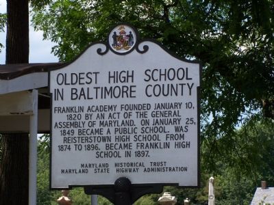
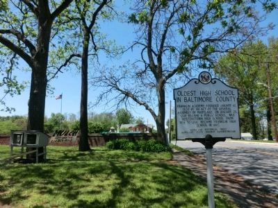
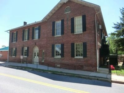
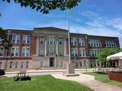
Oldest High School in Baltimore County
Erected by Maryland Historical Trust & Maryland State Highway Administration.
Topics and series. This historical marker is listed in this topic list: Education. In addition, it is included in the Maryland Historical Trust series list. A significant historical date for this entry is January 10, 1862.
Location. 39° 27.847′ N, 76° 49.847′ W. Marker is in Reisterstown, Maryland, in Baltimore County. Marker is at the intersection of Cockey’s Mill Road and Reisterstown Road (Route 140), on the left on Cockey’s Mill Road. Touch for map. Marker is in this post office area: Reisterstown MD 21136, United States of America. Touch for directions.
Other nearby markers. At least 8 other markers are within 2 miles of this marker, measured as the crow flies. Colonel William Norris (within shouting distance of this marker); John and Margaret Reister (within shouting distance of this marker); “Buffalo Soldiers” (about 400 feet away, measured in a direct line); Railroad Ave (approx. one mile away); Glyndon Station (approx. one mile away); Hannah More Academy (approx. 1.1 miles away); Glyndon (approx. 1.1 miles away); Original Cornerstone of the Franklin Senior High School (approx. 1.2 miles away). Touch for a list and map of all markers in Reisterstown.
Also see . . . Franklin High School - Wikipedia. (Submitted on June 25, 2013, by Don Morfe of Baltimore, Maryland.)
Credits. This page was last revised on June 16, 2016. It was originally submitted on August 13, 2007, by Bill Pfingsten of Bel Air, Maryland. This page has been viewed 3,111 times since then and 118 times this year. Photos: 1. submitted on August 13, 2007, by Bill Pfingsten of Bel Air, Maryland. 2, 3, 4. submitted on May 13, 2013, by Don Morfe of Baltimore, Maryland. • J. J. Prats was the editor who published this page.


