Perryopolis in Fayette County, Pennsylvania — The American Northeast (Mid-Atlantic)
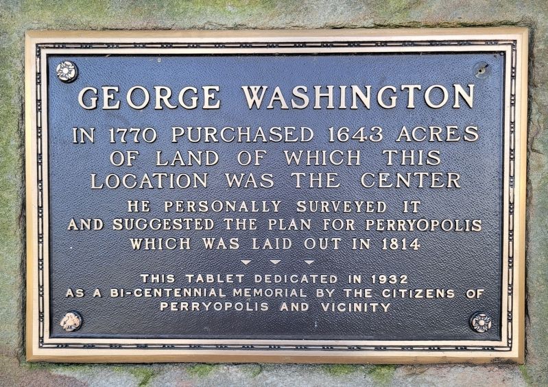
George Washington
In 1770 purchased 1643 acres of land of which this location was the center
He personally surveyed it and suggested the plan for Perryopolis which was laid out in 1814
This tablet dedicated in 1932 as a bi-centennial memorial by the Citizens of Perryopolis and vicinity
Erected 1932 by The Citizens of Perryopolis and Vicinity.
Topics and series. This historical marker is listed in this topic list: Settlements & Settlers. In addition, it is included in the Former U.S. Presidents: #01 George Washington series list. A significant historical year for this entry is 1770.
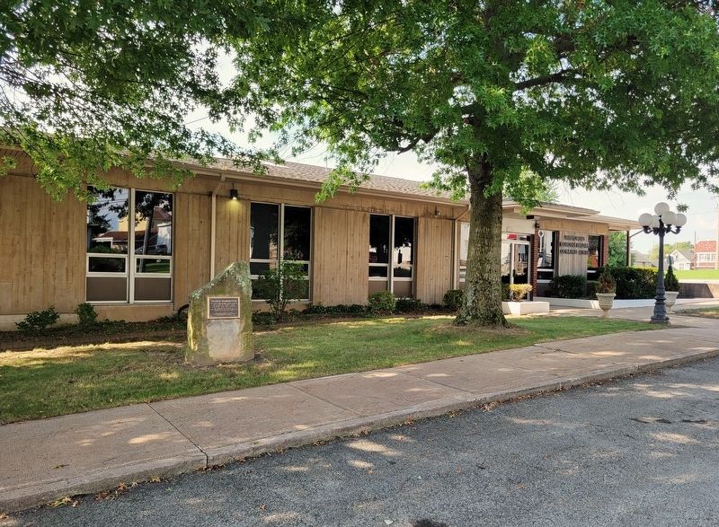
Location. 40° 5.216′ N, 79° 44.952′ W. Marker is in Perryopolis, Pennsylvania, in Fayette County. Marker is on Independence Street east of Circle Street, on the right when traveling east. Marker is located in front of the Perryopolis Borough Building and Community Center. Touch for map. Marker is at or near this postal address: 312 Independence Street, Perryopolis PA 15473, United States of America. Touch for directions.
Other nearby markers. At least 8 other markers are within walking distance of this marker. First Christian Church (within shouting distance of this marker); Youghiogheny Bank of Pennsylvania (about 400 feet away, measured in a direct line); Veterans Memorial (about 800 feet away); Blacksmith Shop & Cemetery (approx. 0.2 miles away); Veterans of Foreign Wars (approx. 0.2 miles away); Perryopolis United Methodist Church (approx. 0.2 miles away); Perry Township High School Bell (approx. ¼ mile away); The Perryopolis Pre-Industrial Complex (approx. ¼ mile away). Touch for a list and map of all markers in Perryopolis.
Credits. This page was last revised on September 19, 2022. It was originally submitted on September 16, 2022, by Bradley Owen of Morgantown, West Virginia. This page has been viewed 157 times since then and 42 times this year. Photos: 1, 2. submitted on September 16, 2022, by Bradley Owen of Morgantown, West Virginia. • Bill Pfingsten was the editor who published this page.

