Cape May in Cape May County, New Jersey — The American Northeast (Mid-Atlantic)
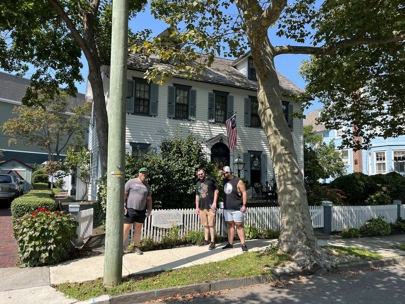
The Cherry House
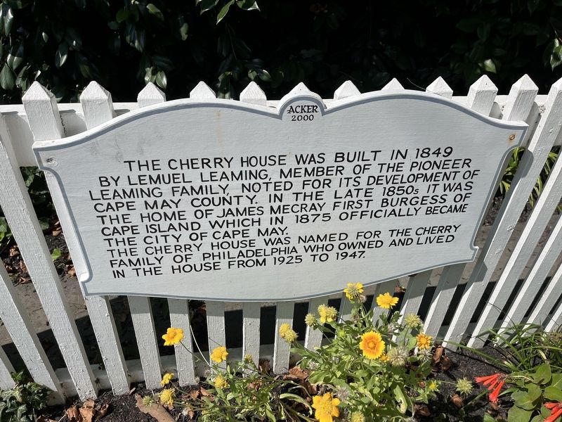
The Cherry House was built in 1849 by Lemuel Leaming, member of the pioneer Leaming family, noted for its development of Cape May County. In the late 1850s it was the home of James Mecray first burgess of Cape Island which in 1875 officially became the City of Cape May.
The Cherry House was named for the Cherry family of Philadelphia who owned and lived in the house from 1925 to 1947.
Erected 2000 by Acker.
Topics. This historical marker is listed in these topic lists: Government & Politics • Notable Buildings • Settlements & Settlers. A significant historical year for this entry is 1849.
Location. 38° 56.01′ N, 74° 55.183′ W. Marker is in Cape May, New Jersey, in Cape May County. Marker is on Hughes Street north of Stockton Place, on the right when traveling south. Touch for map. Marker is at or near this postal address: 637 Hughes St, Cape May NJ 08204, United States of America. Touch for directions.
Other nearby markers. At least 8 other markers are within walking distance of this marker. The Cape May Meeting of the Joint Commission on Unity Memorial (about 400 feet away, measured in a direct line); The Space Shuttle Tree (about 500 feet away); The Chalfonte Hotel (about 500 feet away); S. S. Cape May (about 500 feet away); City of Cape May, New Jersey (about 600 feet away); a different marker also named City of Cape May (about 600 feet away); Original Fire Hydrant (about 600 feet away); Our Lady Star of the Sea Church (about 600 feet away). Touch for a list and map of all markers in Cape May.
Credits. This page was last revised on September 18, 2022. It was originally submitted on September 18, 2022, by Devry Becker Jones of Washington, District of Columbia. This page has been viewed 122 times since then and 41 times this year. Photos: 1, 2. submitted on September 18, 2022, by Devry Becker Jones of Washington, District of Columbia.

