Palm Springs in Riverside County, California — The American West (Pacific Coastal)
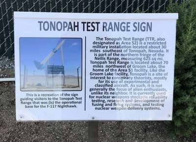
Tonopah Test Range Sign
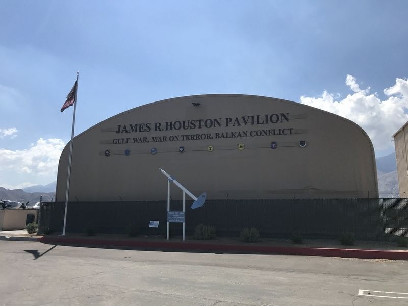
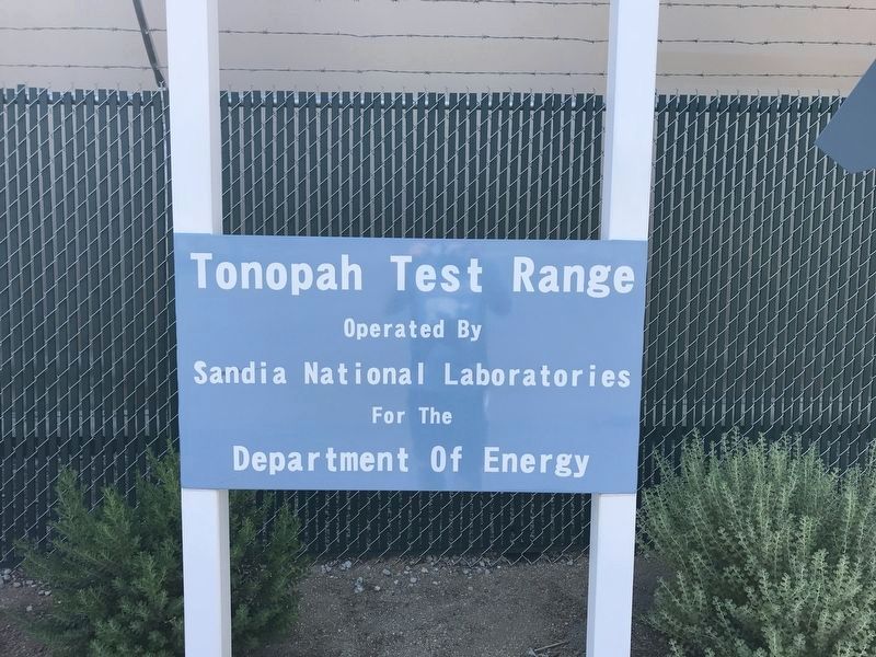
This is a recreation of the sign guiding visitors to the Tonopah Test Range that was (is) the operational base for the F-117 Nighthawk.
The Tonopah Test Range (TTR, also designated as Area 52) is a restricted military installation located about 30 miles southeast of Tonopah, Nevada. It is part of the northern fringe of the Nellis Range, measuring 625 sq mi. Tonopah Test Range is located about 70 miles northwest of Groom Lake, the home of the Area 51 facility. Like the Groom Lake facility, Tonopah is a site of interest to conspiracy theorists, mostly for its use of experimental and classified aircraft. As such, it is not generally the focus of alien enthusiasts, unlike its neighbor. It is currently used for nuclear weapons stockpile reliability testing, research and development of fusing and firing systems, and testing nuclear weapon delivery systems.
Topics. This historical marker is listed in this topic list: Military.
Location. 33° 49.89′ N, 116° 30.255′ W. Marker is in Palm Springs, California, in Riverside County. Marker can be reached from North Gene Autry Trail. Touch for map. Marker is in this post office area: Palm Springs CA 92262, United States of America. Touch for directions.
Other nearby markers. At least 8 other markers are within walking distance of this marker. Mikoyan-Gurevich Mig 15 (within shouting distance of this marker); M725 Ambulance (within shouting distance of this marker); General Dynamic F-16 Fighting Falcon (about 300 feet away, measured in a direct line); Palm Springs Air Museum (about 300 feet away); Grumman A-6E Intruder (about 400 feet away); Distinguished Flying Cross Memorial (about 500 feet away); Tuskegee Airmen (about 500 feet away); Anti-Aircraft Searchlight (about 500 feet away). Touch for a list and map of all markers in Palm Springs.
Credits. This page was last revised on October 22, 2022. It was originally submitted on September 18, 2022, by Adam Margolis of Mission Viejo, California. This page has been viewed 168 times since then and 33 times this year. Photos: 1, 2, 3. submitted on September 18, 2022, by Adam Margolis of Mission Viejo, California. • Bill Pfingsten was the editor who published this page.


