Frankfurt am Main, Hesse, Germany — Central Europe
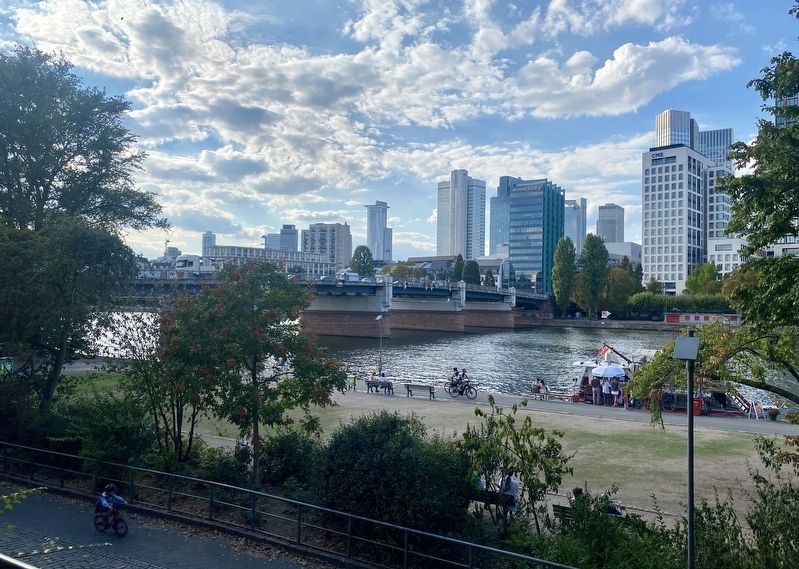
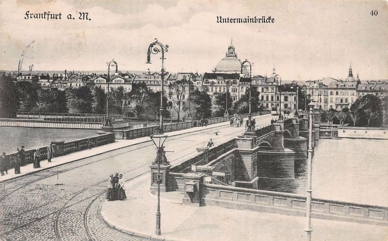
Untermainbrücke / Lower Main Bridge
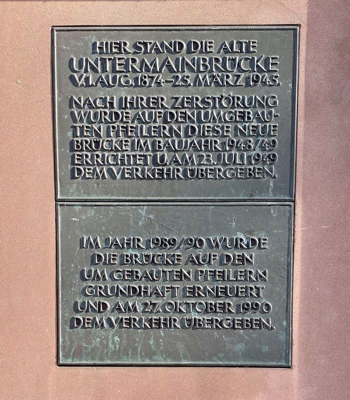
Nach ihrer Zerstörung wurde auf den umgebauten Pfeilern diese neue Brücke im Baujahr 1948/49 errichtet u. am 23. juli 1949 dem Verkehr übergeben.
Im Jahr 1989/90 wurde die Brücke auf den umgebauten Pfeilern grundhaft erneuert und am 27. oktober 1990 dem Verkehr ubergeben.
Here stood the old Lower Main Bridge, August 1874 - March 25, 1945.
After its destruction, a new bridge was built constructed upon the reconstructed piers in 1948-49, and opened up to traffic on July 23, 1949.
During 1989-90 the bridge was thoroughly renovated upon the rebuilt piers and opened up to traffic on October 27, 1990.
Topics. This historical marker is listed in this topic list: Bridges & Viaducts. A significant historical date for this entry is March 25, 1945.
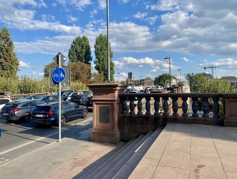
Location. 50° 6.444′ N, 8° 40.543′ E. Marker is in Frankfurt am Main, Hessen (Hesse). Marker is at the intersection of Untermainkai and Untermainbruecke, on the left when traveling east on Untermainkai . Touch for map. Marker is in this post office area: Frankfurt am Main HE 60311, Germany. Touch for directions.
Other nearby markers. At least 8 other markers are within walking distance of this marker. Städtische Bühnen / Municipal Theatre Company - Memorial for Victims of the Nazis (about 210 meters away, measured in a direct line); Max Beckmann (approx. 0.3 kilometers away); First Euro Coins (approx. 0.3 kilometers away); Das Waisen-Karussel / The Orphan Carousel (approx. 0.4 kilometers away); Historische Villa Metzler (approx. 0.4 kilometers away); Wassilij Schukowski und Nikolaj Gogol / Vasily Zhukovsky and Nikolai Gogol (approx. 0.4 kilometers away); Ludwig Landmann (approx. half a kilometer away); Eiserner Steg / The Iron Bridge (approx. half a kilometer away). Touch for a list and map of all markers in Frankfurt am Main.
Also see . . . Untermainbrücke (Wikipedia, in German).
Two facts about the bridge, not mentioned on the marker (in translation): "In 1933 the bridge was renamed the Adolf Hitler Bridge. On March 26, 1945, three of the arches along with the other Main bridges were blown up by a Wehrmacht demolition squad."(Submitted on September 23, 2022.)
Credits. This page was last revised on September 23, 2022. It was originally submitted on September 23, 2022, by Andrew Ruppenstein of Lamorinda, California. This page has been viewed 54 times since then and 8 times this year. Photos: 1, 2, 3, 4. submitted on September 23, 2022, by Andrew Ruppenstein of Lamorinda, California.


