Redwood City in San Mateo County, California — The American West (Pacific Coastal)
Airfield
1916-1939
— Stanford | Redwood City —
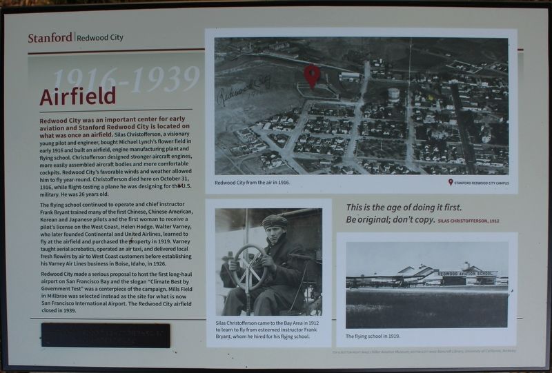
Redwood City was an important center for early aviation and Stanford Redwood City is located on what was once an airfield. Silas Christofferson, a visionary young pilot and engineer, bought Michael Lynch’s flower field in early 1916 and built an airfield, engine manufacturing plant and flying school. Christofferson designed stronger aircraft engines, more easily assembled aircraft bodies and more comfortable cockpits. Redwood City’s favorable winds and weather allowed him to fly year-round. Christofferson died here on October 31, 1916, while flight-testing a plane he was designing for the U.S. military. He was 26 years old.
The flying school continued to operate and chief instructor Frank Bryant trained many of the first Chinese, Chinese-American, Korean and Japanese pilots and the first woman to receive a pilot’s license on the West Coast, Helen Hodge. Walter Varney, who later founded Continental and United Airline, leaned to fly at the airfield and purchased the property in 1919. Varney taught aerial acrobatics, operated an air taxi, and delivered local fresh flowers by air to West Coast customers before establishing his Varney Air Lines business in Boise, Idaho, in 1926.
Redwood City made a serious proposal to host the first long-haul airport on San Francisco Bay and the slogan “Climate Best by Government Test” was a centerpiece of the campaign. Mills Field in Millbrea was selected instead as the site for what is now San Francisco International Airport. The Redwood City Airfield closed in 1939.
"This is the age of doing it first. Be original; don’t copy."
Silas Christofferson, 1912
(There is a small panel in braille below the main text)
Images:
(Top) Redwood City from the air in 1916.
(Bottom Left) Silas Christofferson came to the Bay Area in 1912 to learn to fly from esteemed instructor Frank Bryant, whom he hired for his flying school.
(Bottom Right) The flying school in 1919.
Erected by Stanford University.
Topics. This historical marker is listed in these topic lists: Air & Space • Education • Horticulture & Forestry • Industry & Commerce. A significant historical year for this entry is 1916.
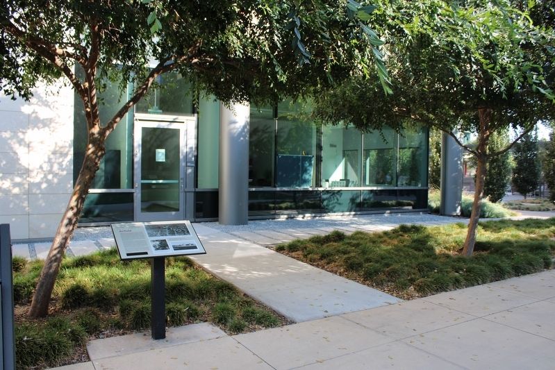
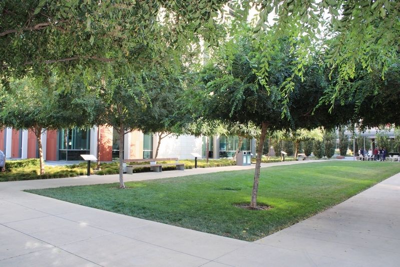
Location. 37° 29.098′ N, 122° 12.192′ W. Marker is in Redwood City, California, in San Mateo County. Marker is on Broadway near Warrington Avenue, on the right when traveling east. The resin marker, one of eight, is mounted to a metal stand in the courtyard west of Discovery Hall. Touch for map. Marker is at or near this postal address: 455 Broadway, Redwood City CA 94063, United States of America. Touch for directions.
Other nearby markers. At least 8 other markers are within 2 miles of this marker, measured as the crow flies. Alta California (a few steps from this marker); Horticultural Heritage (a few steps from this marker); Ampex Years (a few steps from this marker); Mezesville (a few steps from this marker); Native Americans (a few steps from this marker); Pleistocene Period (a few steps from this marker); Historic Connection (a few steps from this marker); Stage Station (approx. 1.3 miles away). Touch for a list and map of all markers in Redwood City.
Also see . . .
1. Redwood City Airfield. Abandoned & Little-Known Airfields website entry:
Links to Redwood City Airport / Sanders Airport entry (Submitted on September 23, 2022, by Joseph Alvarado of Livermore, California.)
2. SRWC Campus Timeline.
"Learn about Stanford's growth in Redwood City."(Submitted on September 23, 2022, by Joseph Alvarado of Livermore, California.)
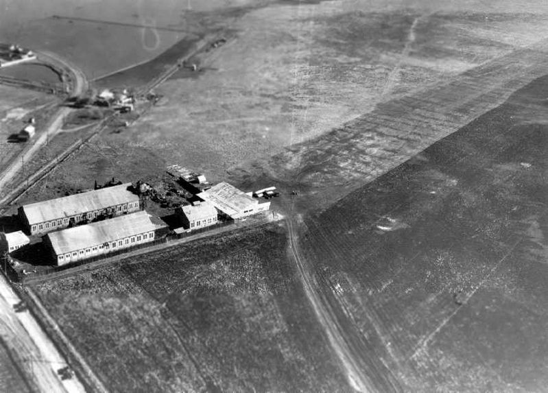
Photographed By Airfieldsfreeman.com
4. Redwood City Airfield
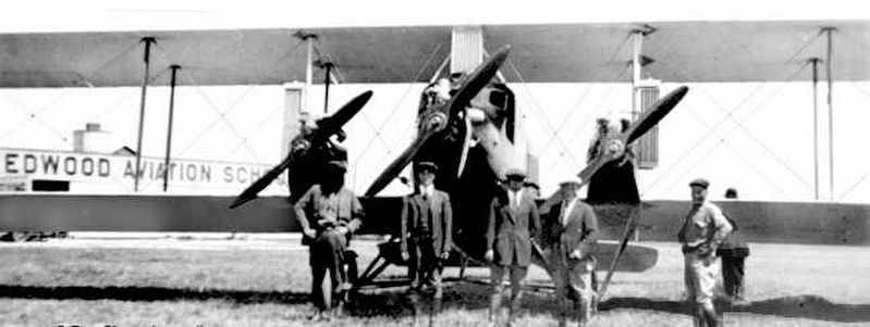
"A 1925 photo showing a biplane in front of a building with “Redwood Aviation School” painted on the roof, showing Redwood City Airport to consist of a large grass field with 4 buildings, and Chestnut Street on the lower left. (courtesy of Jonathan Westerling)"
Credits. This page was last revised on November 18, 2022. It was originally submitted on September 23, 2022, by Joseph Alvarado of Livermore, California. This page has been viewed 111 times since then and 21 times this year. Photos: 1, 2, 3, 4, 5. submitted on September 23, 2022, by Joseph Alvarado of Livermore, California.
