Jeffersonville in Clark County, Indiana — The American Midwest (Great Lakes)
Ammunition Assembley
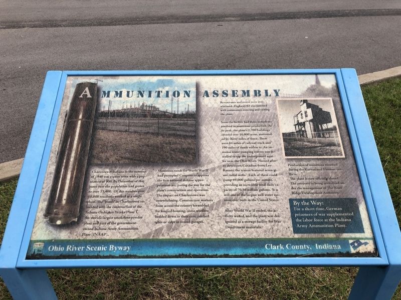
Munitions needs for World War II had prompted Congress to approve the first national defense appropriations act, paving the way for the plant's construction and operation. The impact on Charlestown was overwhelming. Construction workers from across the country scrambled for limited housing; some workers bedded down in their cars, pitched tents or slept in rented garages. Restaurants and stores were overwhelmed. Highway 62 was jammed with commuters entering and exiting the plant.
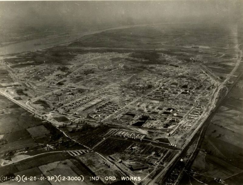
Soon the facility had three complexes involved in munitions production. At its peak, the plant's 1,700 buildings covered over 10,000 acres, surrounded by thirty miles of fence. There were 84 miles of railroad track and 190 miles of roads within it. An immense water pumping system was installed to tap the underground aquifer near the Ohio River. Named after its developer, Canadian-born Leo Ranney, the system featured seven giant radial wells. Each of them could pump 49,000 gallons per minute, providing an incredible total daily capacity of 70.56 million gallons. It is still one of the largest well water systems ever built in the United States
After World War II ended, the activity wanted, and the plant was designated as a storage facility for War Department materials. Production of munitions resumed during the Korean and Vietnam conflicts.
By the Way: For a short time, German prisoners of war supplemented the labor force at the Indiana Army Ammunition Plant.
Erected by Ohio River Scenic Byway.
Topics. This historical marker is listed in these topic lists: Industry & Commerce • Military. A significant historical year for this entry is 1940.
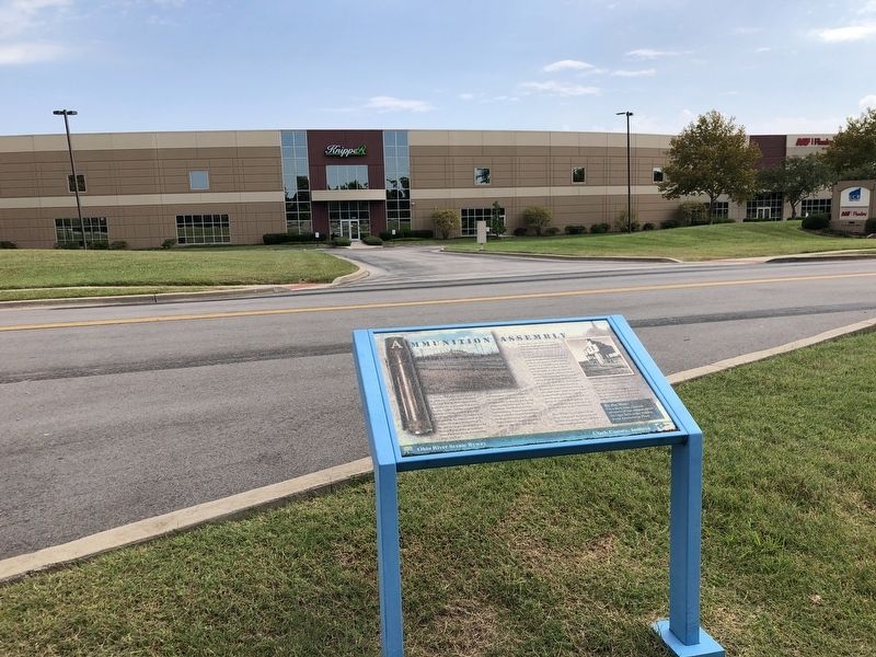
Location. 38° 21.959′ N, 85° 41.88′ W. Marker is in Jeffersonville, Indiana, in Clark County. Marker is on Patrol Road south of Trey Street, on the right when traveling south. Marker is near a bus stop in River Ridge Commerce Center. Touch for map. Marker is at or near this postal address: 200 Patrol Road, Jeffersonville IN 47130, United States of America. Touch for directions.
Other nearby markers. At least 8 other markers are within 6 miles of this marker, measured as the crow flies. World War II Memorial (approx. 3.8 miles away); Korean Veterans Memorial (approx. 3.8 miles away); Vietnam Veterans Memorial (approx. 3.8 miles away); Ohio River: the Human Story (approx. 4.2 miles away); The Kentucky Soldiers’ Home (approx. 4.4 miles away in Kentucky); Harrod's Creek (approx. 4˝ miles away in Kentucky); Merriwether House (approx. 4˝ miles away in Kentucky); Indiana State Parks: The First 100 Years 1916-2016 (approx. 5.3 miles away).
Regarding Ammunition Assembley. Some 6,000 acres of the former munitions facility has been transformed into River Ridge Commerce Center, a mega-sized business and industrial park whose tenants include Kroger, GE Appliances, Amazon, and Bose. Another 4,500 acres was transferred to the State of Indiana, which developed the tract into Charlestown State Park.
Also see . . . Charlestown Clark County Public Library. The library owns a large collection of documents, photographs, maps, manuals, files, newsletters, and artifacts from the Indiana Army Ammunition Plant. (Submitted on September 29, 2022, by Duane and Tracy Marsteller of Murfreesboro, Tennessee.)
Credits. This page was last revised on September 29, 2022. It was originally submitted on September 29, 2022, by Duane and Tracy Marsteller of Murfreesboro, Tennessee. This page has been viewed 111 times since then and 10 times this year. Photos: 1, 2, 3. submitted on September 29, 2022, by Duane and Tracy Marsteller of Murfreesboro, Tennessee.


