Near Bruning in Thayer County, Nebraska — The American Midwest (Upper Plains)
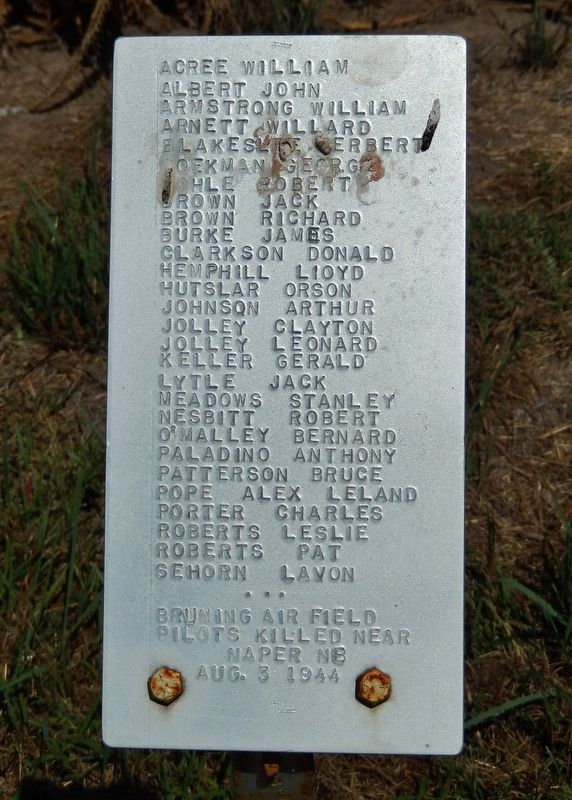
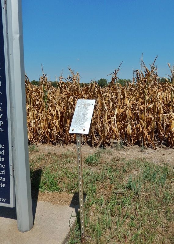
Bruning Air Field Pilots Killed near Naper, Nebraska
August 3 1944
Inscription.
Acree, William Albert, John Armstrong, William Arnett, Willard Blakeslide, Herbert Boekman, George Bohle, Robert Brown, Jack Brown, Richard Burke, James Clarkson, Donald Hemphill, Lloyd Hutslar, Orson Johnson, Arthur Jolley, Clayton Jolley, Leonard Keller, Gerald Lytle, Jack Meadows, Stanley Nesbitt, Robert OMalley, Bernard Paladino, Anthony Patterson, Bruce Pope, Alex Leland Porter, Charles Roberts, Leslie Roberts, Pat Sehorn, Lavon
Topics. This historical marker is listed in these topic lists: Air & Space • Disasters • War, World II. A significant historical date for this entry is August 3, 1944.
Location. 40° 19.288′ N, 97° 26.831′ W. Marker is near Bruning, Nebraska, in Thayer County. Marker is on State Highway 4, 6.8 miles east of U.S. 81, on the left when traveling east. Marker is located in a pull-out on the north side of the highway. Touch for map. Marker is in this post office area: Bruning NE 68322, United States of America. Touch for directions.
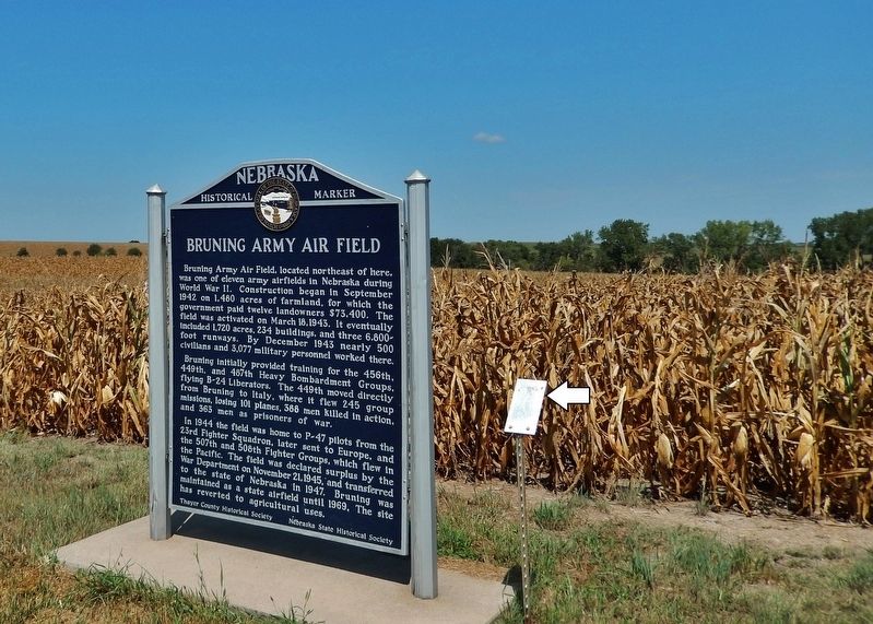
Other nearby markers. At least 8 other markers are within 13 miles of this marker, measured as the crow flies. Bruning Army Air Field (here, next to this marker); First Free Flight of a Modern Hot-Air Balloon (here, next to this marker); The Ohiowa Auditorium (approx. 6.4 miles away); The Forty-Niner Trail (approx. 7.4 miles away); Sergeant Leodegar Schnyder (approx. 9.2 miles away); In Memory of the Sons of Strang (approx. 9.8 miles away); Oregon Trail (approx. 10½ miles away); Bank Building (approx. 12.3 miles away). Touch for a list and map of all markers in Bruning.
Related markers. Click here for a list of markers that are related to this marker.
Also see . . . Memories of Bruning Army Air Base.
The most painful, yet memorable, tragedy involved the greatest loss of personnel in a single crash in World War II. Twenty-six trainees, who had just gotten their wings, and the pilot and co-pilot of a C-47 died. The plane was headed for Pierre, S.D., for gunnery training and crashed near Naper, Neb., in August 1944. Many other young trainees lost their life in crashes on and around the base.(Submitted on October 2, 2022, by Cosmos Mariner of Cape Canaveral, Florida.)
Credits. This page was last revised on October 2, 2022. It was originally submitted on October 1, 2022, by Cosmos Mariner of Cape Canaveral, Florida. This page has been viewed 127 times since then and 26 times this year. Photos: 1, 2, 3. submitted on October 2, 2022, by Cosmos Mariner of Cape Canaveral, Florida.


